 Block
Emerald Park, Illinois
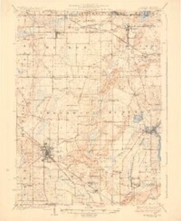
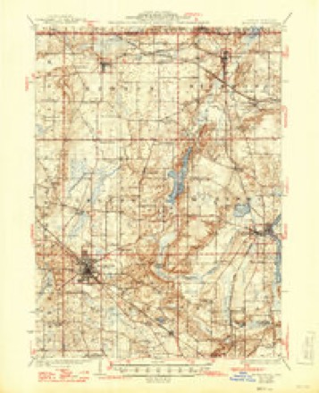
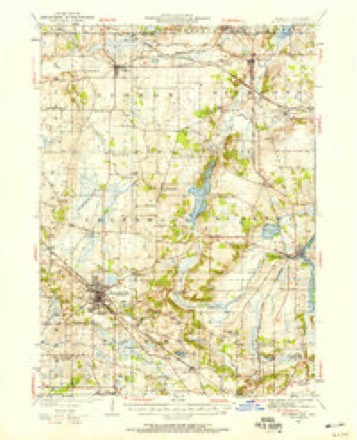
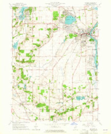
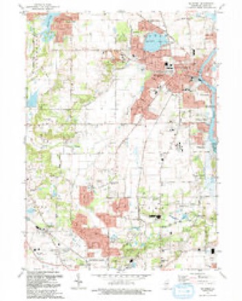
17 topographic sheets cover this place, the earliest surveyed in 1926 and the latest in 1992. It stands in Nunda Township. It lies in ZIP code area 60051. The Survey maps it on the McHenry quadrangle.
Topographic sheets covering this place
10 surveys from 17 printed sheetsMatched by testing this settlement's coordinate against the published boundary of every sheet in the United States Geological Survey's historical collection. Each opens the scanned sheet at the Survey.
- 1926 USGS Mc Henry quadrangle1:62500
- 1926 USGS McHenry quadrangle1:62500, 2 printings
- 1944 USGS McHenry quadrangle1:62500, 2 printings
- 1954 USGS Rockford quadrangle1:250000
- 1955 USGS Rockford quadrangle1:250000
- 1958 USGS Rockford quadrangle1:250000, 4 printings
- 1963 USGS McHenry quadrangle1:24000, 3 printings
- 1963 USGS Rockford quadrangle1:250000
- 1981 USGS Elgin quadrangle1:100000
- 1992 USGS McHenry quadrangle1:24000





What happened here
An account from the chapter on Nunda township. The inset identifies its exact source book and publication year.
Wolf Scalps
A few years prior to 1850 the county gave a bounty of $15 for each wolf's scalp that had been taken within the limits of the county. This was a bonanza for the hunters, and not only was this county scoured in search of the valuable prey, but adjoining counties robbed of wolves, which were brought alive across the line into this county where they were killed and bounty claimed on the scalps.
In the county-history sources
24,929 words on this townshipHistory of McHenry County, Illinois : Together with Sketches of Its Cities, Villages and Towns : Educational, Religious, Civil, Military, and Political History : Portraits of Prominent Persons, and Biographies of Representative Citizens, Also a Condensed History of Illinois .., published 1885; History of McHenry County, Illinois, published 1922 has no passage naming this settlement, which was common for smaller places. Its township is covered in full.
The chapter on Nunda Township covers location, topography, lakes and streams, railroads, name of township, settlement.
Read the chapter on Nunda Township - 24,929 words.
Fires near this place
6 since 2011Regional context, not property-specific evidence. The federal wildfire occurrence database lists 6 fires within 5 miles of Emerald Park between 2011 and 2016, burning about 201 acres in total. None started naturally. 1 was recorded as arson. Distance is straight-line from the map coordinates, so a fire counted here may appear on a neighbouring settlement's page as well.
| Reported cause | Fires |
|---|---|
| Debris and open burning | 2 |
| Missing data/not specified/undetermined | 2 |
| Smoking | 1 |
| Arson/incendiarism | 1 |
The most recent of them, most recent first, with the day each was reported and the service that recorded it.
| Date | Cause | Size | Reported by | Name on the report |
|---|---|---|---|---|
| 16 July 2012 | Smoking | 1.0 acres | Illinois Division of Forestry Resources | 12-01725 |
| 3 April 2012 | Debris and open burning | 49 acres | Illinois Division of Forestry Resources | DEFIANCW |
| 13 April 2016 | Debris and open burning | 40 acres | Illinois Division of Forestry Resources | VOLO BOG |
| 12 April 2011 | Missing data/not specified/undetermined | 25 acres | Illinois Division of Forestry Resources | IDNR |
| 31 March 2011 | Arson/incendiarism | 6.0 acres | Illinois Division of Forestry Resources | HOLMES |
| 1 November 2012 | Missing data/not specified/undetermined | 80 acres | Illinois Division of Forestry Resources | 12_4168 |
Settlements close enough to share some of these fires:
Mines and quarries near this place
10 of 12 shownRegional context, not property-specific evidence. The federal mineral resources record lists 12 workings within 5 miles of Emerald Park: 7 producers, 4 past producers, 1 plant. 8 still produce. What was taken out: Sand and Gravel, Construction. Distance is straight-line from the map coordinates, so a quarry counted here may appear on a neighbouring settlement's page as well.
| Where | Site | Commodity | Status | Recorded |
|---|---|---|---|---|
| Big Hollow Pit | Sand and Gravel, Construction | Past Producer | ||
| Frams Material Co. Dredge | Sand and Gravel, Construction | Producer | ||
| Green Valley East Gate Pit | Sand and Gravel, Construction | Producer | ||
| Island Lake Pit | Sand and Gravel, Construction | Producer | ||
| Pistakee Pit | Sand and Gravel, Construction | Producer | ||
| Possum Run Pit & Mill | Sand and Gravel, Construction | Plant | ||
| Raven Pit | Sand and Gravel, Construction | Producer | ||
| Reiland Pit, Dredge | Sand and Gravel, Construction | Past Producer | ||
| Rocky Road Pit | Sand and Gravel, Construction | Producer | ||
| Unnamed Pit | Sand and Gravel, Construction | Past Producer |
Nearest settlements
The eight closest, with where each one stands in the county. Distances are straight-line, computed from the Geographic Names Information System coordinates.
| Map | Place | Distance | Sheets |
|---|---|---|---|
| McHenry Shores | 0.4 miles | 17 | |
| Ferndale | 1.3 miles | 23 | |
| McHenry | 1.3 miles | 17 | |
| Riverstream | 1.4 miles | 17 | |
| Colby Point | 1.6 miles | 23 | |
| Eastwood Manor | 1.9 miles | 23 | |
| Lilymoor | 2.1 miles | 23 | |
| Holiday Hills | 2.4 miles | 23 |
Provenance
This settlement is recorded in the Geographic Names Information System as feature 407987. The sheet list is computed by point-in-boundary test against the United States Geological Survey's historical topographic inventory. Both are works of the United States government and carry no copyright under 17 U.S.C. 105.
Wildfire. Short, Karen C. 2022. Spatial wildfire occurrence data for the United States, 1992-2020 [FPA_FOD_20221014]. 6th Edition. Fort Collins, CO: Forest Service Research Data Archive. https://doi.org/10.2737/RDS-2013-0009.6 Collected with United States Government funding and usable without additional permissions or fees.
Mines and quarries. USGS Mineral Resources Data System (MRDS) https://mrdata.usgs.gov/mrds/ A work of the United States government, no copyright under 17 U.S.C. 105.