 Block
Empire, Illinois
12 topographic sheets cover this place, the earliest surveyed in 1952 and the latest in 1990. It stands in Empire Township. It lies in ZIP code area 61752. The Survey maps it on the Farmer City North quadrangle.
Topographic sheets covering this place
7 surveys from 12 printed sheetsMatched by testing this settlement's coordinate against the published boundary of every sheet in the United States Geological Survey's historical collection. Each opens the scanned sheet at the Survey.
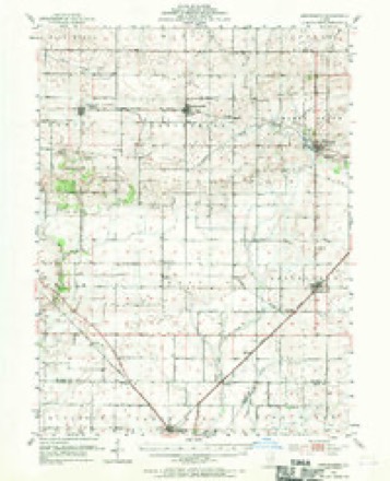
- 1952 USGS Arrowsmith quadrangle1:62500, 2 printings
- 1958 USGS Peoria quadrangle1:250000, 4 printings
- 1961 USGS Peoria quadrangle1:250000
- 1963 USGS Peoria quadrangle1:250000
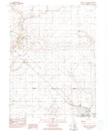
- 1983 USGS Farmer City North quadrangle1:24000
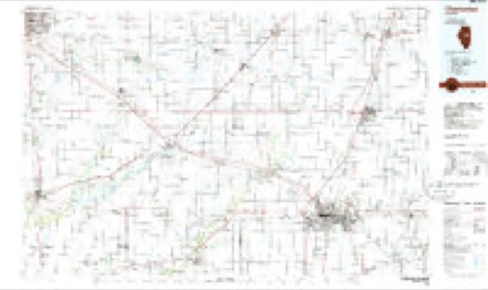
- 1985 USGS Champaign quadrangle1:100000, 2 printings
- 1990 USGS Peoria quadrangle1:250000




In the county-history sources
19,351 words on this townshipThe Good Old Times in McLean County, Illinois : Containing Two Hundred and Sixty-one Sketches of Old Settlers, a Complete Historical Sketch of the Black Hawk War and Descriptions of All Matters of Interest Relating to McLean County, published 1874 names this settlement in its chapter on Empire Township. These are the passages that mention it, exactly as the scans read.
Mr. Merrifield saw plenty of Indians when lie came to the country, but never lost anything by them that lie knows of, nor had any difficulty with them. The Indians usually went on their hunts in companies. They started from Indian Grove and went to Old Town timber, then down Salt Creek as far as the Lake Fork near Mt. Pulaski, and then returned to Indian Grove. Their hunting companies varied in size from one hundred to three hundred. They walked in single tile, and Mr. Merrifield has seen a string of Indians five miles in length.
Passage source: The Good Old Times in McLean County, Illinois : Containing Two Hundred and Sixty-one Sketches of Old Settlers, a Complete Historical Sketch of the Black Hawk War and Descriptions of All Matters of Interest Relating to McLean County, published 1874.
Mr. Merrifield lived in Empire township from 1829 to 1856, and then went to Missouri, where he stayed four years, and then came back to his old home. He liked the country in Missouri very much. On the 7th of April, 1860, he had his leg broken. He then vent back to his farm, where he lived until the fall of 1864. Up to this time he succeeded pretty fairly with the world, and made enough money to enable him to live comfortably. He was a man of the strictest integrity, but perhaps a little too unsuspecting. In I860 he sold his farm and went into the drug business, but was so unfortunate as to lose the results of years of toil. He is now left with little property, and in the decline of life must still earn his bread by the sweat of his brow.
Passage source: The Good Old Times in McLean County, Illinois : Containing Two Hundred and Sixty-one Sketches of Old Settlers, a Complete Historical Sketch of the Black Hawk War and Descriptions of All Matters of Interest Relating to McLean County, published 1874.
Mr. Crumbaugh married Amanda Melcena Buck, September 28, 1851. She is a daughter of 'Squire Hiram Buck, whose sketch appears in this volume. She was a school-mate of her husband in the days when they were young. After their marriage they lived with Henry Crumbaugh until 1857, when they moved to the farm where they now reside, about three miles southwest of Leroy in Empire township.
Passage source: The Good Old Times in McLean County, Illinois : Containing Two Hundred and Sixty-one Sketches of Old Settlers, a Complete Historical Sketch of the Black Hawk War and Descriptions of All Matters of Interest Relating to McLean County, published 1874.
Machine-read from a century-old scan, so expect the errors a machine makes: misspelled names, dropped words, stray characters.
Read the whole chapter on Empire Township - it names this place 12 more 12 times.
Storms near this place
1 since 2018Regional context, not property-specific evidence. The National Weather Service names Empire in 1 storm report in 2018: 1 tornado. No death or injury is recorded in these reports. Each account below is quoted exactly as the forecast office filed it, from the NOAA Storm Events Database, and each date opens the federal record of that event.
| When | Event | Place named | Harm | What the report says |
|---|---|---|---|---|
| December 2018 | Tornado (EF1) | Empire | $75,000 | A tornado touched down one-half mile north of the Dewitt/McLean County line about 4.4 miles south of Leroy at 7:06 PM CST. It damaged trees, an outbuilding, the roof of a house, and toppled a road sign before quickly dissipating at 7:07 PM CST. |
Nearest settlements
The eight closest, with where each one stands in the county. Distances are straight-line, computed from the Geographic Names Information System coordinates.
Provenance
This settlement is recorded in the Geographic Names Information System as feature 422671. The sheet list is computed by point-in-boundary test against the United States Geological Survey's historical topographic inventory. Both are works of the United States government and carry no copyright under 17 U.S.C. 105.
Storms. NOAA National Centers for Environmental Information, Storm Events Database https://www.ncei.noaa.gov/stormevents/ A work of the United States government, no copyright under 17 U.S.C. 105. Narratives are quoted verbatim from the National Weather Service report and are not edited or summarised.