 Block
Farina, Illinois
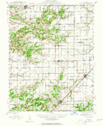
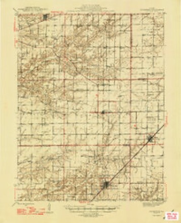
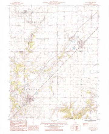
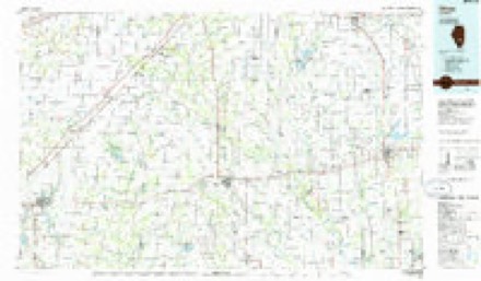
11 topographic sheets cover this place, the earliest surveyed in 1945 and the latest in 1986. It stands in La Clede Township. It lies in ZIP code area 62838. The Survey maps it on the Kinmundy quadrangle.
Topographic sheets covering this place
6 surveys from 11 printed sheetsMatched by testing this settlement's coordinate against the published boundary of every sheet in the United States Geological Survey's historical collection. Each opens the scanned sheet at the Survey.
- 1945 USGS Kinmundy quadrangle1:62500, 2 printings
- 1947 USGS Kinmundy quadrangle1:62500, 2 printings
- 1958 USGS Belleville quadrangle1:250000, 3 printings
- 1962 USGS Belleville quadrangle1:250000
- 1985 USGS Kinmundy quadrangle1:24000
- 1986 USGS Olney quadrangle1:100000, 2 printings


In the county-history sources
1,871 words on this townshipHistory of Fayette County, Illinois, published 1878 names this settlement in its chapter on La Clede Township. These are the passages that mention it, exactly as the scans read.
Farina is situated on the Chicago Branch of the Illinois Central R. R. and was organized as a town in 1867 and reorganised as a village in 1875; it has a population of about 400, and amongst its enterprises are one steamflouring mill with three run of burrs, five general stores, two drug stores, two hotels, three blacksmiths, two shoemakers, one shirt fectory, one grain merchant, two schools, two churches and three church organizations, two physicians, one masonic lodge and one paper, the "Farina New." The present village officers are W. L. Arnold, President of the board, J F. Green ua an, R. W. Austin, D L. Schaeffer, R. A. Brown and B. Booth, trustees, with W. 8. Dunham as clerk.
Passage source: History of Fayette County, Illinois, published 1878.
Farina claims the credit (if it be a credit), of having onoe been the home of Victoria Woodhull. Her husband, Dr. Woodhull, was the first station agent for the Ill. Central Railroad at that place. She is well remembered by many of the citisens, who relate some amusing anecdotes about her.
Passage source: History of Fayette County, Illinois, published 1878.
The town of La Clede is situated on sec. 13, and on the line of Chicago Branch of the Ill. Central Railroad, about four miles north-east of Farina. It has a population of about 150, with the following oommeraal internets represented: one general store, one millinery store, one harness and shoe-shop, two blacksmith shops, one flooring mill and one hotel.
Passage source: History of Fayette County, Illinois, published 1878.
Machine-read from a century-old scan, so expect the errors a machine makes: misspelled names, dropped words, stray characters.
Read the whole chapter on La Clede Township - it names this place 6 more 6 times.
Mines and quarries near this place
1 within 5 milesRegional context, not property-specific evidence. The federal mineral resources record lists 1 working within 5 miles of Farina: 1 occurrence. None of them still produces. What was taken out: Stone, Crushed/Broken. Distance is straight-line from the map coordinates, so a quarry counted here may appear on a neighbouring settlement's page as well.
| Where | Site | Commodity | Status | Recorded |
|---|---|---|---|---|
| Limestone Prospect | Stone, Crushed/Broken | Occurrence |
Storms near this place
15 since 1995Regional context, not property-specific evidence. The National Weather Service names Farina in 15 storm reports between 1995 and 2024: 7 hail, 4 thunderstorm wind, 3 flash flood, 1 tornado. No death or injury is recorded in these reports. Each account below is quoted exactly as the forecast office filed it, from the NOAA Storm Events Database, and each date opens the federal record of that event.
| When | Event | Place named | Harm | What the report says |
|---|---|---|---|---|
| May 2002 | Hail | Farina | $1,500,000 | no account filed |
| June 1998 | Tornado (F1) | Farina | $80,000 | no account filed |
| May 2024 | Thunderstorm Wind | Farina | $25,000 | There were multiple snapped large tree limbs and a light metal carport destroyed between St. Peter and Farina. Ten power poles were also downed on Highway 185. |
| May 1995 | Thunderstorm Wind | Farina | $200 | Wind gusts to 60 mph knocked down several trees in the area. |
| June 2018 | Flash Flood | Farina | - | Up to five inches of rain fell in a short amount of time causing flash flooding. Several roads were flooded including County Road 2125E between St. Elmo and St. James. Also, U.S. Highway 40 was flooded in spots between St. Elmo and county line. Numerous rural roads in the southeastern portions of Fayette County were flooded. |
| July 2016 | Thunderstorm Wind | Farina | - | Thunderstorm winds blew down a few trees and numerous tree limbs and power lines around town. |
| June 2013 | Flash Flood | Farina | - | Up to four inches of rain fell in a short amount of time causing flash flooding. Several roads in the Farina area were flooded. |
| April 2012 | Hail | Farina | - | Enough hail fell that it looked like it had snowed in Farina. Dense fog briefly developed due to the large amounts of hail. |
| August 2006 | Thunderstorm Wind | Farina | - | Storm spotters reported large tree limbs down. |
| April 2024 | Hail | Farina | - | no account filed |
| March 2012 | Hail | Farina | - | no account filed |
| April 2011 | Hail | Farina | - | no account filed |
| June 2008 | Hail | Farina | - | no account filed |
| February 1999 | Hail | Farina | - | no account filed |
| June 1996 | Flash Flood | Farina | - | no account filed |
Nearest settlements
The eight closest, with where each one stands in the county. Distances are straight-line, computed from the Geographic Names Information System coordinates.
| Map | Place | Distance | Sheets |
|---|---|---|---|
| La Clede | 4.4 miles | 9 | |
| Saint Peter | 4.9 miles | 11 | |
| Loogootee | 6.5 miles | 11 | |
| Saint James | 9.3 miles | 11 | |
| Saint Paul | 9.7 miles | 11 | |
| Wilberton | 10.0 miles | 11 | |
| Confidence | 10.2 miles | 11 | |
| Augsburg | 13.0 miles | 10 |
Provenance
This settlement is recorded in the Geographic Names Information System as feature 408270. The sheet list is computed by point-in-boundary test against the United States Geological Survey's historical topographic inventory. Both are works of the United States government and carry no copyright under 17 U.S.C. 105.
Mines and quarries. USGS Mineral Resources Data System (MRDS) https://mrdata.usgs.gov/mrds/ A work of the United States government, no copyright under 17 U.S.C. 105.
Storms. NOAA National Centers for Environmental Information, Storm Events Database https://www.ncei.noaa.gov/stormevents/ A work of the United States government, no copyright under 17 U.S.C. 105. Narratives are quoted verbatim from the National Weather Service report and are not edited or summarised.