 Block
Augsburg, Illinois
10 topographic sheets cover this place, the earliest surveyed in 1945 and the latest in 1985. It stands in Wilberton Township. It lies in ZIP code area 62885. The Survey maps it on the Patoka quadrangle. It stands 561 feet above sea level.
Topographic sheets covering this place
6 surveys from 10 printed sheetsMatched by testing this settlement's coordinate against the published boundary of every sheet in the United States Geological Survey's historical collection. Each opens the scanned sheet at the Survey.
- 1945 USGS Vandalia quadrangle1:62500
- 1947 USGS Vandalia quadrangle1:62500
- 1958 USGS Belleville quadrangle1:250000, 3 printings
- 1962 USGS Belleville quadrangle1:250000
- 1974 USGS Patoka quadrangle1:24000, 2 printings
- 1985 USGS Carlyle Lake quadrangle1:100000, 2 printings
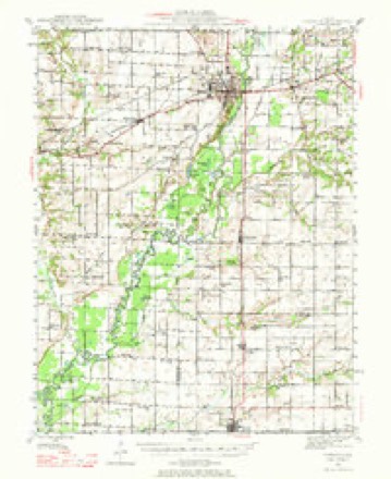
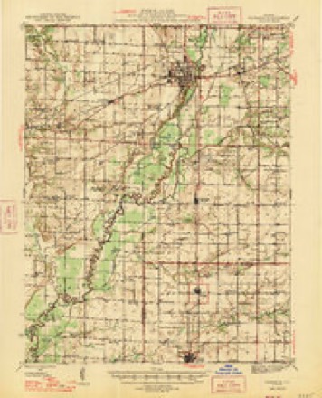


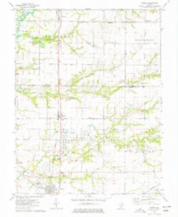
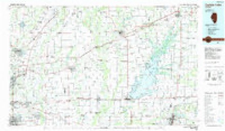
In the county-history sources
2,837 words on this townshipHistory of Fayette County, Illinois, published 1878 has no passage naming this settlement, which was common for smaller places. Its township is covered in full.
The chapter on Wilberton Township covers the township.
Read the chapter on Wilberton Township - 2,837 words.
Storms near this place
1 since 2018Regional context, not property-specific evidence. The National Weather Service names Augsburg in 1 storm report in 2018: 1 tornado. No death or injury is recorded in these reports. Each account below is quoted exactly as the forecast office filed it, from the NOAA Storm Events Database, and each date opens the federal record of that event.
| When | Event | Place named | Harm | What the report says |
|---|---|---|---|---|
| April 2018 | Tornado (EF2) | Augsburg | - | A strong tornado developed around 7 miles southeast of Vandalia, Illinois around 4:20 PM CDT and traveled northeast to the Fayette/Effingham County line by 4:34 PM CDT. The first tornado damage observed was near the intersection of E1050 Avenue and N1375 Street where a greenhouse lost portions of its roofing material and suffered other minor damage. The tornado continued northeast toward Gatch Lake causing damage to several outbuildings and one single family residence. The width of the tornado increased to nearly 100 yards wide and the strength increased from EF0 to EF1 during this time period. The tornado continued northeast causing mainly tree damage until it reached a farm along E1200 Avenue near N1780 Lane. Here a barn and several silos were destroyed, along with a single wide mobile home. The damage was rated EF2. Thankfully there were no occupants in the mobile home at the time of the tornado. The tornado continued northeast destroying another outbuilding, with the debris being tossed down wind hundreds of yards into the open field. The greatest tornado damage occurred to a residence near the intersection of Illinois Highway 185 and E1250 Avenue. The tornado destroyed their garage, ripped their roof and southeast walls off of their home. This damage was also rated EF2 with winds estimated to be 125 mph. The tornado began to weaken as it moved northeast only causing minor damage to an outbuilding and downing trees in a narrow path, less than a hundred yards wide, to the Fayette/Effingham county line. No injuries or deaths were reported in Fayette County. The tornado continued northeast into Effingham County (WFO Lincoln's forecast area). This segment of the tornado (Fayette County) was rated EF2 with a path length of 10.87 miles and a max path width of 100 yards. The entire tornado was rated EF2. It's path length was 18.27 miles with a max path width of 100 yards. |
Nearest settlements
The eight closest, with where each one stands in the county. Distances are straight-line, computed from the Geographic Names Information System coordinates.
| Map | Place | Distance | Sheets |
|---|---|---|---|
| Pinhook (historical) | 3.2 miles | 9 | |
| Saint Paul | 3.3 miles | 11 | |
| Wilberton | 3.4 miles | 11 | |
| Shobonier | 4.0 miles | 10 | |
| Confidence | 6.0 miles | 11 | |
| Bluff City | 6.9 miles | 9 | |
| Vandalia | 7.8 miles | 9 | |
| Saint Peter | 8.5 miles | 11 |
Elsewhere
Matched on this settlement's Geographic Names Information System number rather than its name, so it cannot be a different place of the same name in another state.
| Wikipedia article on Augsburg | An encyclopaedic summary. Its text is share-alike, so it is linked here rather than copied. |
| Wikidata item Q4820467 | The structured record the population and elevation above come from. Public domain (CC0). |
Provenance
This settlement is recorded in the Geographic Names Information System as feature 422423. The sheet list is computed by point-in-boundary test against the United States Geological Survey's historical topographic inventory. Both are works of the United States government and carry no copyright under 17 U.S.C. 105.
Storms. NOAA National Centers for Environmental Information, Storm Events Database https://www.ncei.noaa.gov/stormevents/ A work of the United States government, no copyright under 17 U.S.C. 105. Narratives are quoted verbatim from the National Weather Service report and are not edited or summarised.