 Block
Wilberton, Illinois
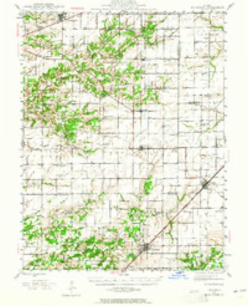
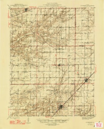
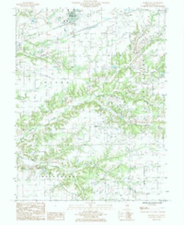
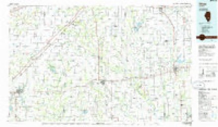
11 topographic sheets cover this place, the earliest surveyed in 1945 and the latest in 1986. It stands in Wilberton Township. It lies in ZIP code area 62880. The Survey maps it on the Brownstown quadrangle.
Topographic sheets covering this place
6 surveys from 11 printed sheetsMatched by testing this settlement's coordinate against the published boundary of every sheet in the United States Geological Survey's historical collection. Each opens the scanned sheet at the Survey.
- 1945 USGS Kinmundy quadrangle1:62500, 2 printings
- 1947 USGS Kinmundy quadrangle1:62500, 2 printings
- 1958 USGS Belleville quadrangle1:250000, 3 printings
- 1962 USGS Belleville quadrangle1:250000
- 1985 USGS Brownstown quadrangle1:24000
- 1986 USGS Olney quadrangle1:100000, 2 printings


In the county-history sources
2,837 words on this townshipHistory of Fayette County, Illinois, published 1878 names this settlement in its chapter on Wilberton Township. These are the passages that mention it, exactly as the scans read.
ILBERTON comprises the complete geographical Township of 5, Range 2, and was named after Esquire Wilbern, a prominent old settler, who lived near the site of the present town of Wilberton on the farm now owned by R. W. Burnett. Among its old settlers may be mentioned the names of Phillip Luster, Jesse Doolan, Jacob Helm, Wm. Davis, John Edwards, Henry Ginger, Francis Brown, Wm. D. Brown, Elijah Reece, Abel Manion, David K. Hamel, John W. Peyton, Thomas Mahone, Dr. Mahone, and Wm. Wilbern, nearly all of whom have since died. The first cabin was built by Phillip Luster, on Section 6, in 1820. Some of his descendants are still living near there. The first settlement was made in the north-western part of the township along the edge of the timber, by Phillip Luster, Jesse Doolan, and two or three other families, about 1820. There appears to have been another tide of emigration set in about 1830, when the Marions. Mahones, Williams and several other families located along the north side of the township. The township continued to settle up slowly until about 1860, when the Germans commenced coming in rapidly, until now there is hardly a vacant foot of land, except in the timber, and all in a feir state of cultivation.
Passage source: History of Fayette County, Illinois, published 1878.
Fird Road , Bridge f dfe . - The first road through the township was the Vandalia and Kinmutidy road on the east side, and the first bridge was built on this road about 1850. Wm. Jarrott kept the first store at Wilberton about thirty years ago, supplying the wants of his customers with such articles as whiskey, tobacco, coffee, ammunition, Ac., always necessary to a pioneers existence, and taking in exchange for them coon and mink skius. which were legal tender at that time. The first post-office was located at St Paul on Section 26, in 1876, with John Boyer as Postmaster. He still holds the position. The first burying-ground was laid out in 1829, on Sec¬ tion 5. The first burial was that of Abel Manion, who died in May, 1835. (It is a question, however, if one or two children did not die at an earlier period, but of which we can find no authentic record.)
Passage source: History of Fayette County, Illinois, published 1878.
Tragedy . - About twenty yean ago Wm. Jarrott shot and killed Andrew Pruett, at Frogtown, (now Wilberton). They were rival saloon-keepers, and under the influence of liquor. Jarrott was put on trial for the offenoe, when it was proven that Pruett made the first attack, consequently he was acquitted.
Passage source: History of Fayette County, Illinois, published 1878.
Machine-read from a century-old scan, so expect the errors a machine makes: misspelled names, dropped words, stray characters.
Read the whole chapter on Wilberton Township - it names this place 7 more 7 times.
Nearest settlements
The eight closest, with where each one stands in the county. Distances are straight-line, computed from the Geographic Names Information System coordinates.
| Map | Place | Distance | Sheets |
|---|---|---|---|
| Saint Paul | 1.8 miles | 11 | |
| Confidence | 3.3 miles | 11 | |
| Augsburg | 3.4 miles | 10 | |
| Pinhook (historical) | 4.9 miles | 9 | |
| Saint Peter | 5.2 miles | 11 | |
| Loogootee | 5.5 miles | 11 | |
| Shobonier | 7.3 miles | 10 | |
| Saint James | 7.4 miles | 11 |
Elsewhere
Matched on this settlement's Geographic Names Information System number rather than its name, so it cannot be a different place of the same name in another state.
| Wikidata item Q122562476 | The structured record the population and elevation above come from. Public domain (CC0). |
Provenance
This settlement is recorded in the Geographic Names Information System as feature 1773125. The sheet list is computed by point-in-boundary test against the United States Geological Survey's historical topographic inventory. Both are works of the United States government and carry no copyright under 17 U.S.C. 105.