 Block
Flat Rock, Illinois
13 topographic sheets cover this place, the earliest surveyed in 1917 and the latest in 1986. It stands in Honey Creek Township. It lies in ZIP code area 62427. The Survey maps it on the Flat Rock quadrangle. 323 people lived here at the 2020 count.
Population over time
2 figuresFlat Rock fell from 331 to 323 between 2010 and 2020. These are the recorded population figures Wikidata holds for this place, reached through the Geographic Names Information System number this page is keyed on rather than by name, so they belong to this place and not to another of the same name. Most are census counts, but not all are: an early figure may be a founding or settlement estimate, and an estimate published within five years of a census is left out. The change column is computed, and is left blank where more than 20 years separate a figure from the one before it, because a gap that long is not a change between two counts.
| Year | People | Change |
|---|---|---|
| 2010 | 331 | |
| 2020 | 323 | -8 (-2%) |
Topographic sheets covering this place
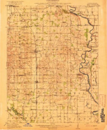
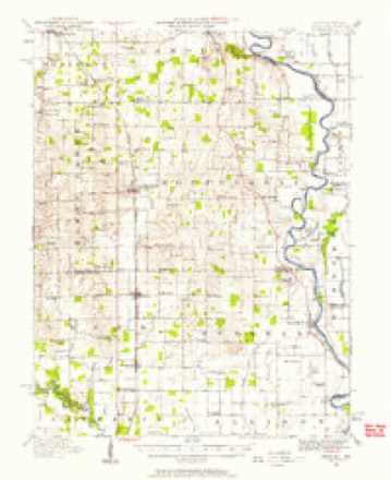
7 surveys from 13 printed sheetsMatched by testing this settlement's coordinate against the published boundary of every sheet in the United States Geological Survey's historical collection. Each opens the scanned sheet at the Survey.
- 1917 USGS Birds quadrangle1:62500, 2 printings
- 1942 USGS Birds quadrangle1:62500
- 1956 USGS Vincennes quadrangle1:250000, 4 printings
- 1957 USGS Vincennes quadrangle1:250000
- 1958 USGS Vincennes quadrangle1:250000, 2 printings
- 1964 USGS Flat Rock quadrangle1:24000
- 1986 USGS Vincennes quadrangle1:100000, 2 printings
In the county-history sources
343 words on this townshipILLINOIS HISTORICAL CRAWFORD COUNTY, published 1909 names this settlement in its chapter on Honey Creek Township. These are the passages that mention it, exactly as the scans read.
The pioneer settlers of this township were John and Samuel Parker, whose arrival took place in 1816. In 1820 came George Parker from Kentucky, settling on the "Range road" near the site of Flat Rock. Other early residents were Seth Lee, John Hart, the Seaney family, Levi Lee, William Carter, and Jesse and James Higgins. The advent of these men soon followed the establishment of the Government Land Office at Palestine. Aaron Jones, a Virginian by nativity, came from Butler County, Ohio, and located in Honey Creek Township in 1832, having journeyed along Indian trails and paths made by hunters through the wilderness. The first land entered west of the "Range road" (running from Mt. Carmel to Chicago) was taken by Asa Jones, and he was shortly afterwards followed Richard Highsmith, another pioneer, helped in constructing the fort at Russellville, and slept in it with a few others as soon as it was finished. Leonard Simons came from Tennessee to Crawford County at an early period, and after living awhile at Palestine, established his home in Honey Creek Township. Samuel Bussard went from Maryland to Ohio at an early day, and thence moved to this township where he reared a large family. Peter Kendall and Robert Terrill located in the township in 1842.
Passage source: ILLINOIS HISTORICAL CRAWFORD COUNTY, published 1909.
Machine-read from a century-old scan, so expect the errors a machine makes: misspelled names, dropped words, stray characters.
Mines and quarries near this place
1 within 5 milesRegional context, not property-specific evidence. The federal mineral resources record lists 1 working within 5 miles of Flat Rock: 1 prospect. None of them still produces. What was taken out: Clay. Distance is straight-line from the map coordinates, so a quarry counted here may appear on a neighbouring settlement's page as well.
| Where | Site | Commodity | Status | Recorded |
|---|---|---|---|---|
| Goodhope Shale Exposure | Clay | Prospect |
Storms near this place
3 since 2009Regional context, not property-specific evidence. The National Weather Service names Flat Rock in 3 storm reports between 2009 and 2026: 2 hail, 1 thunderstorm wind. No death or injury is recorded in these reports. Each account below is quoted exactly as the forecast office filed it, from the NOAA Storm Events Database, and each date opens the federal record of that event.
| When | Event | Place named | Harm | What the report says |
|---|---|---|---|---|
| April 2020 | Thunderstorm Wind | Flat Rock | $15,000 | A tree was blown onto a house in Flat Rock. |
| March 2026 | Hail | Flat Rock | - | no account filed |
| June 2009 | Hail | Flat Rock | - | no account filed |
Nearest settlements
The eight closest, with where each one stands in the county. Distances are straight-line, computed from the Geographic Names Information System coordinates.
| Map | Place | Distance | Sheets |
|---|---|---|---|
| Crawfordsville (historical) | 2.4 miles | 13 | |
| Morea | 2.7 miles | 13 | |
| Oil Grove | 3.1 miles | 13 | |
| Duncanville | 3.9 miles | 13 | |
| Villas | 4.3 miles | 13 | |
| New Hebron | 5.1 miles | 13 | |
| Heathsville | 5.5 miles | 15 | |
| Port Jackson | 6.2 miles | 12 |
Elsewhere
Matched on this settlement's Geographic Names Information System number rather than its name, so it cannot be a different place of the same name in another state.
| Wikipedia article on Flat Rock | An encyclopaedic summary. Its text is share-alike, so it is linked here rather than copied. |
| Wikidata item Q1852721 | The structured record the population and elevation above come from. Public domain (CC0). |
Provenance
This settlement is recorded in the Geographic Names Information System as feature 408445. The sheet list is computed by point-in-boundary test against the United States Geological Survey's historical topographic inventory. Both are works of the United States government and carry no copyright under 17 U.S.C. 105.
Mines and quarries. USGS Mineral Resources Data System (MRDS) https://mrdata.usgs.gov/mrds/ A work of the United States government, no copyright under 17 U.S.C. 105.
Storms. NOAA National Centers for Environmental Information, Storm Events Database https://www.ncei.noaa.gov/stormevents/ A work of the United States government, no copyright under 17 U.S.C. 105. Narratives are quoted verbatim from the National Weather Service report and are not edited or summarised.