 Block
Morea, Illinois
13 topographic sheets cover this place, the earliest surveyed in 1917 and the latest in 1986. It stands in Montgomery Township. It lies in ZIP code area 62451. The Survey maps it on the Flat Rock quadrangle. It stands 561 feet above sea level.
Topographic sheets covering this place
7 surveys from 13 printed sheetsMatched by testing this settlement's coordinate against the published boundary of every sheet in the United States Geological Survey's historical collection. Each opens the scanned sheet at the Survey.
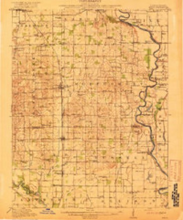
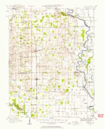
- 1917 USGS Birds quadrangle1:62500, 2 printings
- 1942 USGS Birds quadrangle1:62500
- 1956 USGS Vincennes quadrangle1:250000, 4 printings
- 1957 USGS Vincennes quadrangle1:250000
- 1958 USGS Vincennes quadrangle1:250000, 2 printings
- 1964 USGS Flat Rock quadrangle1:24000
- 1986 USGS Vincennes quadrangle1:100000, 2 printings
In the county-history sources
1,452 words on this townshipILLINOIS HISTORICAL CRAWFORD COUNTY, published 1909 names this settlement in its chapter on Montgomery Township. These are the passages that mention it, exactly as the scans read.
The township was first settled about the close of the War of 1812, although tradition has it that James Beard came from Kentucky to what is now Montgomery Township in 1810. Whatever may have been the date of his arrival, it is certain.that he was killed by the Indians. Eli Adams, his nephew, accompanied him in the journey to Illinois, and they lived in a log hut in the southeast corner of the township. Another pioneer, also from Kentucky, whose advent occurred about the same time as that of Beard and Adams, was Thomas Kennedy, the Baptist preacher heretofore mentioned in these pages. Andrew Montgomery, after whom the township was named, and who in his day was a prominent character, was among the first settlers, coming from Ireland. Other pioneers were Jesse Higgins, Gabriel Funk, Sr, John Cobb, James Allison, Joseph Pearson, John Waldrup, James Shaw, James Brockman and Ithra Brashears. Gabriel Funk, Sr, who was a skillful hunter, came in 1815. Pearson came from Indiana. Brashears, whose former home was in Kentucky, was one of the inmates of Fort Lamotte, and at the end of the war received a grant of 100 acres of land from the Government for meritorious service against the Indians. He built one of the first mills in the township, and Jesse Higgins, whose log cabin was demolished by the tornado previously alluded to, built another on the site of the present village of Morea. Mills were also put up by Allison, Brockman and Brashears. John Cobb cleared a farm in 1820. The first blacksmith in the township was a man named Hatfield, and the second William Edgington, who kept also a sort of gun factory up to the '80s. Distilleries of a primitive description were set up by Shaw, Adams, and a Mr. Veach, the distilling business forming not the least among the early industries of the locality.
Passage source: ILLINOIS HISTORICAL CRAWFORD COUNTY, published 1909.
Machine-read from a century-old scan, so expect the errors a machine makes: misspelled names, dropped words, stray characters.
Mines and quarries near this place
1 within 5 milesRegional context, not property-specific evidence. The federal mineral resources record lists 1 working within 5 miles of Morea: 1 prospect. None of them still produces. What was taken out: Clay. Distance is straight-line from the map coordinates, so a quarry counted here may appear on a neighbouring settlement's page as well.
| Where | Site | Commodity | Status | Recorded |
|---|---|---|---|---|
| Goodhope Shale Exposure | Clay | Prospect |
Storms near this place
1 since 2021Regional context, not property-specific evidence. The National Weather Service names Morea in 1 storm report in 2021: 1 tornado. No death or injury is recorded in these reports. Each account below is quoted exactly as the forecast office filed it, from the NOAA Storm Events Database, and each date opens the federal record of that event.
| When | Event | Place named | Harm | What the report says |
|---|---|---|---|---|
| July 2021 | Tornado (EF1) | Morea | - | A tornado touched down 3.8 miles south of Palestine at 7:20 PM CDT. The tornado tracked south-southeastward along IL-33 knocking multiple power lines down. A piece of sheet metal was torn off a building and thrown over a power line as well. The tornado quickly dissipated about 4.2 miles south of Palestine at 7:22 PM CDT. |
Nearest settlements
The eight closest, with where each one stands in the county. Distances are straight-line, computed from the Geographic Names Information System coordinates.
| Map | Place | Distance | Sheets |
|---|---|---|---|
| Flat Rock | 2.7 miles | 13 | |
| Duncanville | 3.9 miles | 13 | |
| Heathsville | 4.0 miles | 15 | |
| Oil Grove | 4.4 miles | 13 | |
| Crawfordsville (historical) | 4.6 miles | 13 | |
| Richwoods | 4.7 miles | 15 | |
| Palestine | 5.4 miles | 20 | |
| New Hebron | 6.2 miles | 13 |
Elsewhere
Matched on this settlement's Geographic Names Information System number rather than its name, so it cannot be a different place of the same name in another state.
| Wikipedia article on Morea | An encyclopaedic summary. Its text is share-alike, so it is linked here rather than copied. |
| Wikidata item Q14687894 | The structured record the population and elevation above come from. Public domain (CC0). |
Provenance
This settlement is recorded in the Geographic Names Information System as feature 422998. The sheet list is computed by point-in-boundary test against the United States Geological Survey's historical topographic inventory. Both are works of the United States government and carry no copyright under 17 U.S.C. 105.
Mines and quarries. USGS Mineral Resources Data System (MRDS) https://mrdata.usgs.gov/mrds/ A work of the United States government, no copyright under 17 U.S.C. 105.
Storms. NOAA National Centers for Environmental Information, Storm Events Database https://www.ncei.noaa.gov/stormevents/ A work of the United States government, no copyright under 17 U.S.C. 105. Narratives are quoted verbatim from the National Weather Service report and are not edited or summarised.