 Block
Forest Park, Illinois
23 topographic sheets cover this place, the earliest surveyed in 1892 and the latest in 1998. It stands in Joliet Township. It lies in ZIP code area 60432. The Survey maps it on the Joliet quadrangle.
On record in Forest Park
Buildings and businesses the archive holds for this place. Each opens its own page, with the source record it came from.
On the National Register within a mile 1 record
The National Register names another town for these. They stand within one mile of this settlement's coordinate.
- Illinois State Penitentiary-Joliet Historic Districtlisted 2023 · 0.8 miles away
Topographic sheets covering this place
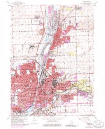
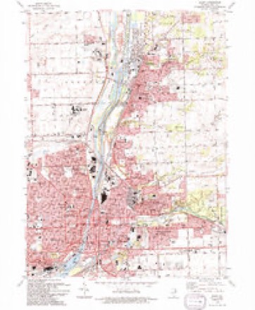
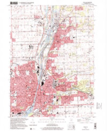
10 surveys from 23 printed sheetsMatched by testing this settlement's coordinate against the published boundary of every sheet in the United States Geological Survey's historical collection. Each opens the scanned sheet at the Survey.
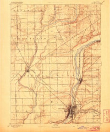
- 1892 USGS Joliet quadrangle1:62500, 6 printings
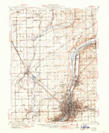
- 1923 USGS Joliet quadrangle1:62500, 5 printings
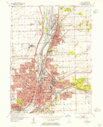
- 1954 USGS Joliet quadrangle1:24000
- 1954 USGS Joliet quadrangle1:62500
- 1958 USGS Aurora quadrangle1:250000, 3 printings
- 1961 USGS Aurora quadrangle1:250000
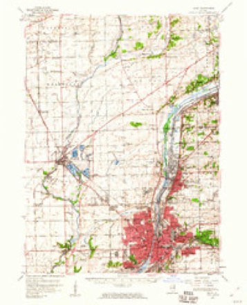
- 1962 USGS Joliet quadrangle1:24000, 3 printings
- 1985 USGS Aurora quadrangle1:100000
- 1993 USGS Joliet quadrangle1:24000
- 1998 USGS Joliet quadrangle1:24000



In the county-history sources
16,216 words on this townshipThe History of Will County, Illinois, Containing a History of the County ... a Directory of Its Real Estate Owners; Portraits of Early Settlers and Prominent Men; General and Local Statistics ... History of Illinois ... History of the Northwest .., published 1878 has no passage naming this settlement, which was common for smaller places. Its township is covered in full.
The chapter on Joliet Township covers the township.
Read the chapter on Joliet Township - 16,216 words.
Mines and quarries near this place
10 of 12 shownRegional context, not property-specific evidence. The federal mineral resources record lists 12 workings within 5 miles of Forest Park: 8 past producers, 3 producers, 1 plant. 4 still produce. What was taken out: Stone, Crushed/Broken, Sulfur, Magnesite. Distance is straight-line from the map coordinates, so a quarry counted here may appear on a neighbouring settlement's page as well.
| Where | Site | Commodity | Status | Recorded |
|---|---|---|---|---|
| U S Refactories Div. Mill | Magnesite | Producer | ||
| (Facility) Mobil Oil Joilet Refinery | Sulfur | Plant | ||
| Texaco Lockport Plant | Sulfur | Producer | ||
| Gross & Mc Cowan Lumber Co. Quarry | Stone, Crushed/Broken | Past Producer | ||
| Inland Crushed Stone Co Quarry | Stone, Crushed/Broken | Past Producer | ||
| Joliet Quarry & Mill Yard 340 | Stone, Crushed/Broken | Producer | ||
| Lincoln Stone Quarry | Stone, Crushed/Broken | Past Producer | ||
| Markgraf Stone Company Quarry | Stone, Crushed/Broken | Past Producer | ||
| National Stone Co Limestone Quarry | Stone, Crushed/Broken | Past Producer | ||
| Swan, Medin & Company Quarry | Stone, Crushed/Broken | Past Producer |
Storms near this place
4 since 2020Regional context, not property-specific evidence. The National Weather Service names Forest Park in 4 storm reports between 2020 and 2025: 2 lightning, 1 flash flood, 1 thunderstorm wind. No death or injury is recorded in these reports. Each account below is quoted exactly as the forecast office filed it, from the NOAA Storm Events Database, and each date opens the federal record of that event.
| When | Event | Place named | Harm | What the report says |
|---|---|---|---|---|
| August 2025 | Lightning | Forest Park | $20,000 | Just before 6 PM CST, lightning struck a home on Caraway Ct in Lockport setting it on fire. No one was injured in the fire, but the home was declared uninhabitable while repairs were made. |
| July 2021 | Lightning | Forest Park | - | Lightning struck a house in the 700 block of Miami Street and started a fire. An 85 year old man in the house was unable to get out and died of smoke inhalation. |
| May 2020 | Flash Flood | Forest Park | - | Some streets north of Pilcher Park were reported to be washed out with street and basement flooding. |
| August 2020 | Thunderstorm Wind | Forest Park | - | A large and old brick and concrete structure that held a movie screen at an outdoor drive-in movie theater was destroyed with about 80 percent of the structure collapsed. Most of the debris fell in place and crushed a semi trailer that had been parked near the structure. |
Nearest settlements
The eight closest, with where each one stands in the county. Distances are straight-line, computed from the Geographic Names Information System coordinates.
| Map | Place | Distance | Sheets |
|---|---|---|---|
| Fairmont | 0.7 miles | 23 | |
| East Joliet | 0.8 miles | 23 | |
| Ridgewood | 1.1 miles | 23 | |
| Ingalls Park | 1.8 miles | 23 | |
| South Lockport | 1.9 miles | 23 | |
| Lidice | 1.9 miles | 23 | |
| Joliet | 2.0 miles | 23 | |
| Raynor Park | 2.0 miles | 23 |
Provenance
This settlement is recorded in the Geographic Names Information System as feature 408520. The sheet list is computed by point-in-boundary test against the United States Geological Survey's historical topographic inventory. Both are works of the United States government and carry no copyright under 17 U.S.C. 105.
Mines and quarries. USGS Mineral Resources Data System (MRDS) https://mrdata.usgs.gov/mrds/ A work of the United States government, no copyright under 17 U.S.C. 105.
Storms. NOAA National Centers for Environmental Information, Storm Events Database https://www.ncei.noaa.gov/stormevents/ A work of the United States government, no copyright under 17 U.S.C. 105. Narratives are quoted verbatim from the National Weather Service report and are not edited or summarised.