 Block
Forsyth, Illinois
14 topographic sheets cover this place, the earliest surveyed in 1929 and the latest in 1998. It stands in Hickory Point Township. It lies in ZIP code area 62526. The Survey maps it on the Forsyth quadrangle. 3,734 people lived here at the 2020 count. It stands 676 feet above sea level.
Population over time
2 figuresForsyth grew from 3,490 to 3,734 between 2010 and 2020. These are the recorded population figures Wikidata holds for this place, reached through the Geographic Names Information System number this page is keyed on rather than by name, so they belong to this place and not to another of the same name. Most are census counts, but not all are: an early figure may be a founding or settlement estimate, and an estimate published within five years of a census is left out. The change column is computed, and is left blank where more than 20 years separate a figure from the one before it, because a gap that long is not a change between two counts.
| Year | People | Change |
|---|---|---|
| 2010 | 3,490 | |
| 2020 | 3,734 | +244 (+7%) |
Topographic sheets covering this place
7 surveys from 14 printed sheetsMatched by testing this settlement's coordinate against the published boundary of every sheet in the United States Geological Survey's historical collection. Each opens the scanned sheet at the Survey.
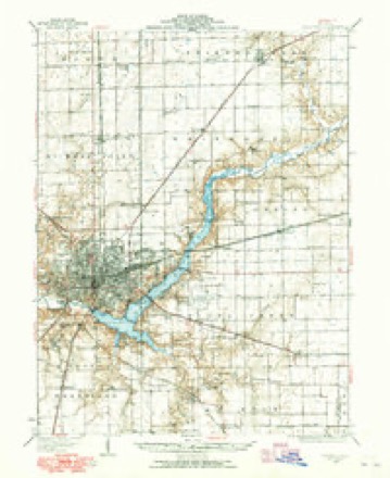
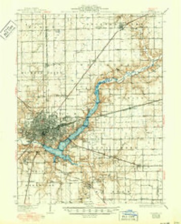
- 1929 USGS Decatur quadrangle1:62500
- 1933 USGS Decatur quadrangle1:62500, 3 printings
- 1958 USGS Decatur quadrangle1:250000, 3 printings
- 1961 USGS Decatur quadrangle1:250000, 2 printings
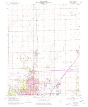
- 1967 USGS Forsyth quadrangle1:24000, 2 printings
- 1985 USGS Decatur quadrangle1:100000, 2 printings
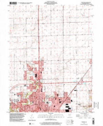
- 1998 USGS Forsyth quadrangle1:24000



In the county-history sources
4,955 words on this townshipHistory of Macon County, Illinois : with Illustrations Descriptive of Its Scenery, and Biographical Sketches of Some of Its Prominent Men and Pioneers, published 1880 has no passage naming this settlement, which was common for smaller places. Its township is covered in full.
The chapter on Hickory Point Township covers the township.
Read the chapter on Hickory Point Township - 4,955 words.
Storms near this place
29 since 1995Regional context, not property-specific evidence. The National Weather Service names Forsyth in 29 storm reports between 1995 and 2026: 14 thunderstorm wind, 11 hail, 2 tornado, 1 lightning. No death or injury is recorded in these reports. Each account below is quoted exactly as the forecast office filed it, from the NOAA Storm Events Database, and each date opens the federal record of that event.
| When | Event | Place named | Harm | What the report says |
|---|---|---|---|---|
| May 1995 | Thunderstorm Wind | Forsyth | $1,400,000 | A downburst occurred in Forsyth damaging 43 homes (one home was destroyed, three homes had major damage, and four businesses had minor damage). There was also some minor damage to a public park. Damage was estimated around $1,400,000. |
| February 2009 | Lightning | Forsyth | $50,000 | Lightning struck a house on the west side of Forsyth causing a fire, and extensive damage to the home. There were no injuries, although the family dog had to be rescued by fire personnel. |
| May 2013 | Thunderstorm Wind | Forsyth | $35,000 | Windows were blown out at the Best Buy store in Forsyth. A piece of roof was torn off Lowes. |
| July 2015 | Tornado (EF0) | Forsyth | $15,000 | A tornado touched down about 0.3 miles south of Forsyth at 9:25 PM CDT. The tornado snapped several trees at their tops, damaged a shed, destroyed a dog kennel, blew a garage door partially in, and created minor roof damage to two homes before quickly dissipating at 9:26 PM CDT. |
| June 2008 | Thunderstorm Wind | Forsyth | $8,000 | Large tree limbs were blown down and caused roof damage to a house. |
| July 2015 | Thunderstorm Wind | Forsyth | $6,000 | A few trees were blown down. |
| August 2025 | Thunderstorm Wind | Forsyth | - | All the west-facing air conditioner units at a hotel were pushed inward due to strong thunderstorm winds. In addition, a trailer was rolled over and a large tree was blown onto power lines. |
| August 2025 | Thunderstorm Wind | Forsyth | - | Extensive tree damage occurred on a property in Forsyth. |
| August 2025 | Thunderstorm Wind | Forsyth | - | Numerous trees and tree branches were blown down in Montezuma Hills. |
| August 2025 | Thunderstorm Wind | Forsyth | - | Numerous trees were blown down and minor structural damage occurred at Hickory Point Mall. |
| June 2023 | Thunderstorm Wind | Forsyth | - | Several large tree branches were blown down. |
| June 2023 | Thunderstorm Wind | Forsyth | - | A large tree branch was blown down on the corner of Lucile Avenue and Highway 51. |
| September 2022 | Flash Flood | Forsyth | - | Water was flowing across roads in Forsyth. |
| July 2005 | Thunderstorm Wind | Forsyth | - | Concrete block, reinforced wall blown over and destroyed. |
| August 2004 | Thunderstorm Wind | Forsyth | - | Several power lines were blown down. |
| April 2000 | Tornado (F1) | Forsyth | - | The tornado touched down west northwest of the intersection of Route 51 and County Route 20. The tornado then crossed Route 51 moving to the northeast. It damaged a couple of large oil pipeline storage tanks (put large dents in them), then the tornado weakened in an open field and dissipated. |
| August 2000 | Thunderstorm Wind | Forsyth | - | Numerous trees and power lines were blown down, as well as a shed. A house under construction was also damaged. The extent of damage to the house was not known. |
| April 1997 | Thunderstorm Wind | Forsyth | - | Thunderstorm winds damaged 3 sheds, destroyed a detached garage, caused minor siding and roof damage to ten homes and blew over a large store sign in Forsyth. No injuries were reported and no damage estimate was available. |
| March 2026 | Hail | Forsyth | - | no account filed |
| May 2025 | Hail | Forsyth | - | no account filed |
| May 2025 | Hail | Forsyth | - | no account filed |
| March 2024 | Hail | Forsyth | - | no account filed |
| March 2024 | Hail | Forsyth | - | no account filed |
| March 2024 | Hail | Forsyth | - | no account filed |
| March 2024 | Hail | Forsyth | - | no account filed |
| March 2024 | Hail | Forsyth | - | no account filed |
| June 2013 | Hail | Forsyth | - | no account filed |
| June 2013 | Hail | Forsyth | - | no account filed |
| April 1998 | Hail | Forsyth | - | no account filed |
Nearest settlements
The eight closest, with where each one stands in the county. Distances are straight-line, computed from the Geographic Names Information System coordinates.
| Map | Place | Distance | Sheets |
|---|---|---|---|
| Emery | 3.2 miles | 14 | |
| Larkdale | 3.7 miles | 14 | |
| Bearsdale | 4.0 miles | 11 | |
| Oreana | 4.6 miles | 14 | |
| Longview Place | 5.6 miles | 14 | |
| Faries Park (historical) | 5.8 miles | 14 | |
| Warrensburg | 5.9 miles | 11 | |
| Decatur | 6.4 miles | 14 |
Elsewhere
Matched on this settlement's Geographic Names Information System number rather than its name, so it cannot be a different place of the same name in another state.
| Wikipedia article on Forsyth | An encyclopaedic summary. Its text is share-alike, so it is linked here rather than copied. |
| Wikidata item Q2253088 | The structured record the population and elevation above come from. Public domain (CC0). |
Provenance
This settlement is recorded in the Geographic Names Information System as feature 408542. The sheet list is computed by point-in-boundary test against the United States Geological Survey's historical topographic inventory. Both are works of the United States government and carry no copyright under 17 U.S.C. 105.
Storms. NOAA National Centers for Environmental Information, Storm Events Database https://www.ncei.noaa.gov/stormevents/ A work of the United States government, no copyright under 17 U.S.C. 105. Narratives are quoted verbatim from the National Weather Service report and are not edited or summarised.