 Block
Girard, Illinois
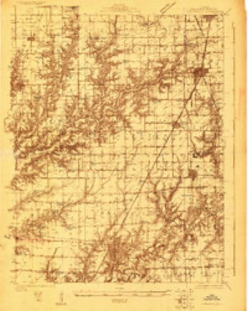
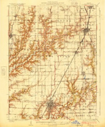
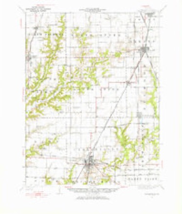
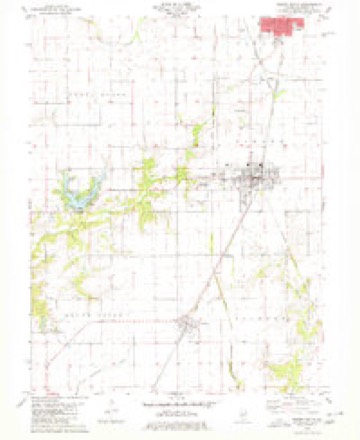
14 topographic sheets cover this place, the earliest surveyed in 1923 and the latest in 1998. It stands in Girard Township. It lies in ZIP code area 62640. The Survey maps it on the Virden South quadrangle. 1,785 people lived here at the 2020 count. It stands 669 feet above sea level.
Population over time
2 figuresGirard fell from 2,103 to 1,785 between 2010 and 2020. These are the recorded population figures Wikidata holds for this place, reached through the Geographic Names Information System number this page is keyed on rather than by name, so they belong to this place and not to another of the same name. Most are census counts, but not all are: an early figure may be a founding or settlement estimate, and an estimate published within five years of a census is left out. The change column is computed, and is left blank where more than 20 years separate a figure from the one before it, because a gap that long is not a change between two counts.
| Year | People | Change |
|---|---|---|
| 2010 | 2,103 | |
| 2020 | 1,785 | -318 (-15%) |
Topographic sheets covering this place
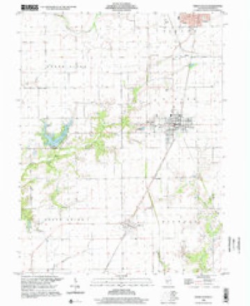
8 surveys from 14 printed sheetsMatched by testing this settlement's coordinate against the published boundary of every sheet in the United States Geological Survey's historical collection. Each opens the scanned sheet at the Survey.
- 1923 USGS Carlinville quadrangle1:48000
- 1925 USGS Carlinville quadrangle1:62500, 2 printings
- 1931 USGS Carlinville quadrangle1:62500, 3 printings
- 1958 USGS Decatur quadrangle1:250000, 3 printings
- 1961 USGS Decatur quadrangle1:250000, 2 printings
- 1979 USGS Virden South quadrangle1:24000
- 1982 USGS Litchfield quadrangle1:100000
- 1998 USGS Virden South quadrangle1:24000


In the county-history sources
2,466 words on this townshipHistory of Macoupin County, Illinois : Biographical and Pictorial, published 1911 names this settlement in its chapter on Girard Township. These are the passages that mention it, exactly as the scans read.
Girard township is formed from the southern half of township 12, north range 6. The land, which is very fertile, is drained by branches of Otter and Macoupin creeks. From the fact that there was a scarcity of timber in this district, this township was not settled as early as many of the other townships in the county. However, a few families settled as early as 1830 in the southwest corner, among whom were Daniel Black, William and Charles Cox, Jesse Ashlock, a Mr. Mathews and Harlam and Thomas Warren. In 1835 John Henderson located at the cross roads, a mile and a half north of the present site of Girard and conducted a tavern, as it was on the stage line running from Springfield to 'Alton. The place was for many years known as Henderson's and later as Virden's stage stand.
Passage source: History of Macoupin County, Illinois : Biographical and Pictorial, published 1911.
About 1834 Dr. Edwards and Coe Mather laid out a town at the edge of the timber, a part of which was located on the present site of Girard. They named the place Girard but the only improvement that was there made was a brick kiln.
Passage source: History of Macoupin County, Illinois : Biographical and Pictorial, published 1911.
The first mill erected in the township was run by horse power and was built by a Mr. Sprouse. Steam mills were soon built on Waverly and Lick creeks and there was also a water mill on Sugar creek. In 1846 B. Boggess built a steam saw and grist mill in North Otter and this proved a great convenience for the people of Girard township.
Passage source: History of Macoupin County, Illinois : Biographical and Pictorial, published 1911.
Machine-read from a century-old scan, so expect the errors a machine makes: misspelled names, dropped words, stray characters.
Read the whole chapter on Girard Township - it names this place 14 more 14 times.
Mines and quarries near this place
3 within 5 milesRegional context, not property-specific evidence. The federal mineral resources record lists 3 workings within 5 miles of Girard: 2 past producers, 1 prospect. None of them still produces. What was taken out: Vermiculite, Clay. Distance is straight-line from the map coordinates, so a quarry counted here may appear on a neighbouring settlement's page as well.
| Where | Site | Commodity | Status | Recorded |
|---|---|---|---|---|
| Shelbyville Shale Exposure | Clay | Prospect | ||
| I. V. Quarry | Vermiculite | Past Producer | ||
| I. V. Quarry | Vermiculite | Past Producer |
Storms near this place
22 since 1995Regional context, not property-specific evidence. The National Weather Service names Girard in 22 storm reports between 1995 and 2022: 11 hail, 9 thunderstorm wind, 1 lightning, 1 tornado. The reports record 1 death and 2 injuries. Each account below is quoted exactly as the forecast office filed it, from the NOAA Storm Events Database, and each date opens the federal record of that event.
| When | Event | Place named | Harm | What the report says |
|---|---|---|---|---|
| April 2001 | Lightning | Girard | 1 killed | A 49 year old woman was struck and killed by lightning while working outside at her home at Sunset Lake west of Girard. Witnesses reported that the woman was planting and watering flowers and had knelt down at the edge of the lake to dip out some more water when the lightning struck. |
| April 2011 | Tornado (EF3) | Girard | 2 hurt | The path of this tornado was a very curved one as it initially tornado touched down about 2.5 miles west of Girard, Illinois, on Emerson Airline Road. It caused extensive damage to a couple of houses in this location. It then travelled to the northeast crossing Henry Road, north of the intersection with Emerson Airline Road, and damaging 3 farmsteads. One home was destroyed and another home sustained moderate damage, trapping the residents in the basement until they could be rescued. Also, several barns were destroyed in this area. The tornado began to travel on a more easterly course, damaging or destroying several farmsteads on Neff Road. Numerous outbuildings were destroyed in this area and one house was destroyed. As it approached Pleasant Hill Road approximately 1.2 miles northwest of Girard, it caused major damage to a brick home and destroyed all of the outbuildings. The tornado continued to travel to the east, destroying a farm about a mile north of town on Illinois Route 4. Several cows were killed in this location. Then the tornado began to curve back to the southeast, crossing Prose Road about half a mile south of the intersection with Substation Road. In this location it caused extensive damage to a brick home with most of the exterior walls destroyed but with the interior wall structure intact. This damage was rated EF3. The tornado continued to the southeast. It caused moderate roof damage to a house on Kimes Road near intersection with Adams Road. The tornado then lifted and dissipated on Adams Road after hitting one last farmstead and causing minor damage. Several farms sustained damage along the path of the tornado with many of the houses that were damaged rated EF2 with large portions of the roofs badly damaged. Numerous outbuildings were either destroyed or sustained major damage along this track as well. Also, about 20 power poles were blown down along Illinois Route 4 just north of town. The average path width of the tornado was 150 yards with a maximum width of 200 yards. The highest rating of the damage was EF3 and with peak wind speeds of 150 mph. Two miles west of Girard, two people heading for the basement to seek shelter from the tornado, sustained minor cuts and bruises. Because the path of the tornado was curved the actual total path length of the tornado was 5.1 miles, not 4.3 miles as displayed in the main header for this event. |
| April 1998 | Thunderstorm Wind | Girard | $20,000 | no account filed |
| June 1995 | Thunderstorm Wind | Girard | $400 | Wind gusts as high as 75 mph knocked down numerous trees, power poles, and power lines. One tree fell and completely demolish a bandstand in Brighton. A tractor-semitrailer was blown off the road along Interstate 55 near Mount Olive as well. |
| June 1995 | Thunderstorm Wind | Girard | $125 | Five to six homes were damaged and trees and power lines were blown down. |
| September 2012 | Thunderstorm Wind | Girard | - | Thunderstorm winds blew down several trees in Girard and snapped a power pole off at its base in Nilwood, knocking out power to the town. |
| April 2011 | Thunderstorm Wind | Girard | - | Thunderstorm winds blew down a very large tree limb. It landed on a house causing minor roof and siding damage. |
| August 2009 | Thunderstorm Wind | Girard | - | Numerous large tree limbs and power lines were blown down throughout town. |
| December 2008 | Thunderstorm Wind | Girard | - | Thunderstorm winds blew down numerous large tree limbs with a few falling onto homes causing minor roof damage. Part of the roof of a mobile home was blown off. Also, an old barn was destroyed and 2 grain bins were damaged. |
| June 2005 | Hail | Girard | - | Storm spotters reported 3/4 inch hail. |
| June 2005 | Hail | Girard | - | Amateur radio spotters reported nickel size hail west of Girard. |
| April 1998 | Hail | Girard | - | The local newspaper reported 3/4 inch hail fell in Girard. |
| June 2022 | Hail | Girard | - | no account filed |
| April 2011 | Hail | Girard | - | no account filed |
| April 2011 | Hail | Girard | - | no account filed |
| May 2006 | Hail | Girard | - | no account filed |
| April 2005 | Hail | Girard | - | no account filed |
| May 2003 | Hail | Girard | - | no account filed |
| May 1998 | Hail | Girard | - | no account filed |
| June 1998 | Thunderstorm Wind | Girard | - | no account filed |
| June 1998 | Thunderstorm Wind | Girard | - | no account filed |
| April 1997 | Hail | Girard | - | no account filed |
Nearest settlements
The eight closest, with where each one stands in the county. Distances are straight-line, computed from the Geographic Names Information System coordinates.
| Map | Place | Distance | Sheets |
|---|---|---|---|
| Greenridge | 2.0 miles | 14 | |
| Nilwood | 3.6 miles | 14 | |
| Virden | 3.8 miles | 13 | |
| McVey | 4.3 miles | 12 | |
| Standard City | 6.5 miles | 14 | |
| Schoper | 7.5 miles | 14 | |
| Anderson | 7.8 miles | 14 | |
| Atwater | 8.4 miles | 10 |
Elsewhere
Matched on this settlement's Geographic Names Information System number rather than its name, so it cannot be a different place of the same name in another state.
| Wikipedia article on Girard | An encyclopaedic summary. Its text is share-alike, so it is linked here rather than copied. |
| Wikidata item Q575300 | The structured record the population and elevation above come from. Public domain (CC0). |
Provenance
This settlement is recorded in the Geographic Names Information System as feature 409041. The sheet list is computed by point-in-boundary test against the United States Geological Survey's historical topographic inventory. Both are works of the United States government and carry no copyright under 17 U.S.C. 105.
Mines and quarries. USGS Mineral Resources Data System (MRDS) https://mrdata.usgs.gov/mrds/ A work of the United States government, no copyright under 17 U.S.C. 105.
Storms. NOAA National Centers for Environmental Information, Storm Events Database https://www.ncei.noaa.gov/stormevents/ A work of the United States government, no copyright under 17 U.S.C. 105. Narratives are quoted verbatim from the National Weather Service report and are not edited or summarised.