 Block
Virden, Illinois
13 topographic sheets cover this place, the earliest surveyed in 1924 and the latest in 1998. It stands in Virden Township. It lies in ZIP code area 62690. The Survey maps it on the Virden North quadrangle. 3,231 people lived here at the 2020 count. It stands 3 feet above sea level.
On record in Virden
Buildings and businesses the archive holds for this place. Each opens its own page, with the source record it came from.
On the National Register 1 record
- Shriver Farmsteadlisted 1980
Population over time
2 figuresVirden fell from 3,425 to 3,231 between 2010 and 2020. These are the recorded population figures Wikidata holds for this place, reached through the Geographic Names Information System number this page is keyed on rather than by name, so they belong to this place and not to another of the same name. Most are census counts, but not all are: an early figure may be a founding or settlement estimate, and an estimate published within five years of a census is left out. The change column is computed, and is left blank where more than 20 years separate a figure from the one before it, because a gap that long is not a change between two counts.
| Year | People | Change |
|---|---|---|
| 2010 | 3,425 | |
| 2020 | 3,231 | -194 (-6%) |
Topographic sheets covering this place
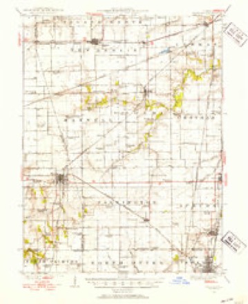
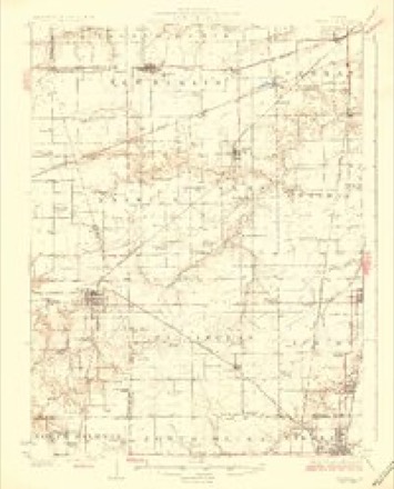
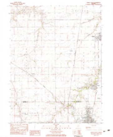
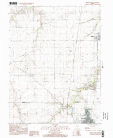
7 surveys from 13 printed sheetsMatched by testing this settlement's coordinate against the published boundary of every sheet in the United States Geological Survey's historical collection. Each opens the scanned sheet at the Survey.
- 1924 USGS Waverly quadrangle1:62500, 2 printings
- 1926 USGS Waverly quadrangle1:62500, 2 printings
- 1958 USGS Decatur quadrangle1:250000, 3 printings
- 1961 USGS Decatur quadrangle1:250000, 2 printings
- 1983 USGS Virden North quadrangle1:24000
- 1985 USGS Springfield quadrangle1:100000, 2 printings
- 1998 USGS Virden North quadrangle1:24000



In the county-history sources
1,323 words on this townshipHistory of Macoupin County, Illinois : Biographical and Pictorial, published 1911 names this settlement in its chapter on Virden Township. These are the passages that mention it, exactly as the scans read.
Virden township lies in the extreme northeastern corner of the county and is bounded on the north by Sangamon county, on the east by Montgomery county, on the south by Girard township, and on the west by North Otter township. The land is mostly prairie. As the years have passed the farms have been well improved and highly cultivated, being settled by a thrifty and energetic class of farmers. The land is afforded good drainage by Sugar and Brush creeks.
Passage source: History of Macoupin County, Illinois : Biographical and Pictorial, published 1911.
In 1890 the census gave Virden a population of 1,160. Today it has, by the United States census an even 4,000, and is still growing, not only in the number of its citizens, but in a business way. Virden is a first class little city and its mining interests made for it one of the principal coal centers of the county. Its mercantile houses compare very favorably with places of more consequence and the buildings, which surround the public square, are, many of them, new and attractive in appearance. In 1910 Jackson street, considered the main thoroughfare of the city, was paved with brick from Dye street to Madison. Within the past seven years about twenty miles of cement sidewalks have been laid and a project is now on foot by the citizens for the building of waterworks. For some years an electric light plant has been in operation, built by corporate interests, and it is one of the most complete establishments in this section of the state.
Passage source: History of Macoupin County, Illinois : Biographical and Pictorial, published 1911.
Virden, of course, has her societies of various descriptions. Chief among them are the Masons, Eastern Star, Odd Fellows, Rebekahs, Modern Woodmen, Knights of Pythias, Red Men, Foresters and others. John Baird Post, Grand Army of the Republic, was at one time a strong organization. Disease and death have crept into the ranks of the members and today but a corporal's guard is left to answer the roll call.
Passage source: History of Macoupin County, Illinois : Biographical and Pictorial, published 1911.
Machine-read from a century-old scan, so expect the errors a machine makes: misspelled names, dropped words, stray characters.
Read the whole chapter on Virden Township - it names this place 4 more 4 times.
Mines and quarries near this place
2 within 5 milesRegional context, not property-specific evidence. The federal mineral resources record lists 2 workings within 5 miles of Virden: 2 past producers. None of them still produces. What was taken out: Vermiculite. Distance is straight-line from the map coordinates, so a quarry counted here may appear on a neighbouring settlement's page as well.
| Where | Site | Commodity | Status | Recorded |
|---|---|---|---|---|
| I. V. Quarry | Vermiculite | Past Producer | ||
| I. V. Quarry | Vermiculite | Past Producer |
Storms near this place
22 since 1996Regional context, not property-specific evidence. The National Weather Service names Virden in 22 storm reports between 1996 and 2021: 12 thunderstorm wind, 8 hail, 2 flash flood. No death or injury is recorded in these reports. Each account below is quoted exactly as the forecast office filed it, from the NOAA Storm Events Database, and each date opens the federal record of that event.
| When | Event | Place named | Harm | What the report says |
|---|---|---|---|---|
| May 1996 | Thunderstorm Wind | Virden | $15,000 | no account filed |
| May 2020 | Thunderstorm Wind | Virden | - | Thunderstorm winds uprooted a large tree in Virden. As it fell it clipped a house causing moderate damage. The tree was about 3 feet in diameter. |
| June 2014 | Flash Flood | Virden | - | Up to five inches of rain fell in a short amount of time causing flash flooding. Numerous roads were flooded including Illinois Route 4 just south of Carlinville. A vehicle was submerged on West County Lane Road near Quail Lane. The person was rescued but sustained no injuries. |
| May 2013 | Thunderstorm Wind | Virden | - | A wide swath of wind damage occurred over northern Macoupin County. Numerous trees and tree limbs were blown down. Also, an outbuilding on the west side of Virden had part of its roof blown off. |
| June 2011 | Thunderstorm Wind | Virden | - | Thunderstorm winds blew down numerous tree limbs. |
| April 2011 | Thunderstorm Wind | Virden | - | Thunderstorm winds blew down several large tree limbs around town. Also, a barn on Union Street had its roof blow off and the North Mac High School sustained minor roof and water damage. |
| September 2010 | Flash Flood | Virden | - | Up to three inches of rain fell in a short amount of time causing flash flooding. Several roads were flooded including Nine Mile Road and Lead Line Road west of Virden. |
| May 2006 | Thunderstorm Wind | Virden | - | A microburst occurred 1.5 miles east of Virden along Thomasville Road. The roof of a barn and one home were partially blown off and one machine shed was damaged. Also, numerous trees were either blown over or had numerous limbs broken off. |
| June 2000 | Thunderstorm Wind | Virden | - | Local emergency management reported trees and power lines down in Virden. |
| March 2021 | Hail | Virden | - | no account filed |
| May 2018 | Hail | Virden | - | no account filed |
| April 2017 | Thunderstorm Wind | Virden | - | no account filed |
| November 2013 | Thunderstorm Wind | Virden | - | no account filed |
| April 2011 | Hail | Virden | - | no account filed |
| July 2006 | Hail | Virden | - | no account filed |
| May 2004 | Thunderstorm Wind | Virden | - | no account filed |
| May 2004 | Thunderstorm Wind | Virden | - | no account filed |
| May 2003 | Hail | Virden | - | no account filed |
| May 2003 | Hail | Virden | - | no account filed |
| May 2003 | Hail | Virden | - | no account filed |
| August 2000 | Thunderstorm Wind | Virden | - | no account filed |
| July 1996 | Hail | Virden | - | no account filed |
Nearest settlements
The eight closest, with where each one stands in the county. Distances are straight-line, computed from the Geographic Names Information System coordinates.
| Map | Place | Distance | Sheets |
|---|---|---|---|
| Girard | 3.8 miles | 14 | |
| Greenridge | 5.8 miles | 14 | |
| Nilwood | 7.4 miles | 14 | |
| McVey | 7.8 miles | 12 | |
| Standard City | 10.3 miles | 14 | |
| Schoper | 11.3 miles | 14 | |
| Modesto | 11.5 miles | 15 | |
| Anderson | 11.6 miles | 14 |
Elsewhere
Matched on this settlement's Geographic Names Information System number rather than its name, so it cannot be a different place of the same name in another state.
| Wikipedia article on Virden | An encyclopaedic summary. Its text is share-alike, so it is linked here rather than copied. |
| Wikidata item Q578507 | The structured record the population and elevation above come from. Public domain (CC0). |
Provenance
This settlement is recorded in the Geographic Names Information System as feature 420328. The sheet list is computed by point-in-boundary test against the United States Geological Survey's historical topographic inventory. Both are works of the United States government and carry no copyright under 17 U.S.C. 105.
Mines and quarries. USGS Mineral Resources Data System (MRDS) https://mrdata.usgs.gov/mrds/ A work of the United States government, no copyright under 17 U.S.C. 105.
Storms. NOAA National Centers for Environmental Information, Storm Events Database https://www.ncei.noaa.gov/stormevents/ A work of the United States government, no copyright under 17 U.S.C. 105. Narratives are quoted verbatim from the National Weather Service report and are not edited or summarised.