 Block
Gorham, Illinois
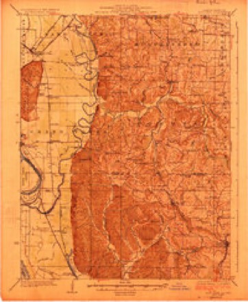
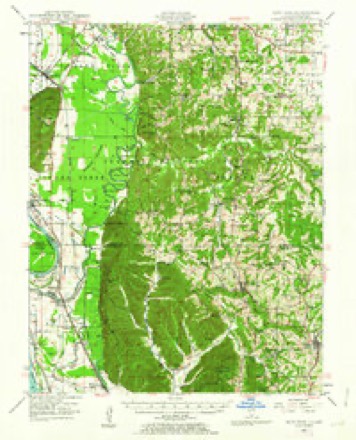
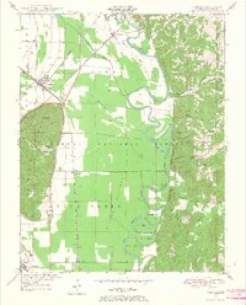
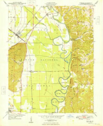
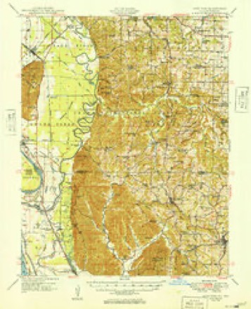
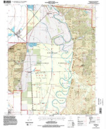
25 topographic sheets cover this place, the earliest surveyed in 1924 and the latest in 1994. It stands in Sand Ridge Township. It lies in ZIP code area 62940. The Survey maps it on the Gorham quadrangle.
Topographic sheets covering this place
14 surveys from 25 printed sheetsMatched by testing this settlement's coordinate against the published boundary of every sheet in the United States Geological Survey's historical collection. Each opens the scanned sheet at the Survey.
- 1924 USGS Alto Pass quadrangle1:62500, 2 printings
- 1947 USGS Alto Pass quadrangle1:62500, 2 printings
- 1947 USGS Gorham quadrangle1:24000, 4 printings
- 1948 USGS Gorham quadrangle1:24000, 2 printings
- 1949 USGS Alto Pass quadrangle1:62500
- 1949 USGS Paducah quadrangle1:250000, 2 printings
- 1950 USGS Paducah quadrangle1:250000
- 1954 USGS Paducah quadrangle1:250000, 2 printings
- 1961 USGS Paducah quadrangle1:250000, 2 printings
- 1964 USGS Paducah quadrangle1:250000, 2 printings
- 1984 USGS Carbondale quadrangle1:100000
- 1986 USGS Carbondale quadrangle1:100000
- 1987 USGS Paducah quadrangle1:250000
- 1994 USGS Gorham quadrangle1:24000, 2 printings






Fires near this place
26 since 1992Regional context, not property-specific evidence. The federal wildfire occurrence database lists 26 fires within 5 miles of Gorham between 1992 and 2019, burning about 119 acres in total. 2 started naturally. 4 were recorded as arson. Distance is straight-line from the map coordinates, so a fire counted here may appear on a neighbouring settlement's page as well.
| Reported cause | Fires |
|---|---|
| Debris and open burning | 7 |
| Missing data/not specified/undetermined | 6 |
| Arson/incendiarism | 4 |
| Railroad operations and maintenance | 3 |
| Natural | 2 |
| Recreation and ceremony | 2 |
| Power generation/transmission/distribution | 1 |
| Equipment and vehicle use | 1 |
The most recent of them, most recent first, with the day each was reported and the service that recorded it.
| Date | Cause | Size | Reported by | Name on the report |
|---|---|---|---|---|
| 6 September 2010 | Recreation and ceremony | under an acre | Shawnee National Forest | TURKEY BAYOU |
| 25 September 2006 | Natural | under an acre | Shawnee National Forest | OAK WOOD |
| 13 June 2012 | Debris and open burning | 2.0 acres | Shawnee National Forest | BLUFFS |
| 1 May 1992 | Railroad operations and maintenance | 12 acres | Shawnee National Forest | not named |
| 30 April 2018 | Equipment and vehicle use | under an acre | Shawnee National Forest | SKEETER PARK |
| 19 April 2000 | Missing data/not specified/undetermined | 36 acres | Shawnee National Forest | JOHN'S SPUR |
| 18 April 2004 | Railroad operations and maintenance | under an acre | Shawnee National Forest | MALLARD |
| 18 April 2004 | Railroad operations and maintenance | 4.0 acres | Shawnee National Forest | GORHAM RR |
Settlements close enough to share some of these fires:
Mines and quarries near this place
6 within 5 milesRegional context, not property-specific evidence. The federal mineral resources record lists 6 workings within 5 miles of Gorham: 3 past producers, 1 occurrence, 1 prospect, 1 producer. 1 still produces. What was taken out: Stone, Crushed/Broken, Sand and Gravel, Construction, Lead, Clay. Distance is straight-line from the map coordinates, so a quarry counted here may appear on a neighbouring settlement's page as well.
| Where | Site | Commodity | Status | Recorded |
|---|---|---|---|---|
| Minor Lead Occurence No. 1 | Lead | Occurrence | ||
| Unknown | Clay | Past Producer | ||
| Fountain Bluff Sandstone Exposure | Stone, Crushed/Broken | Prospect | ||
| Jackson County Sand&Gravel Dredge | Sand and Gravel, Construction | Producer | ||
| Lawder Dredge | Sand and Gravel, Construction | Past Producer | ||
| Unknown | Stone, Crushed/Broken | Past Producer |
Storms near this place
10 since 2000Regional context, not property-specific evidence. The National Weather Service names Gorham in 10 storm reports between 2000 and 2024: 5 thunderstorm wind, 2 hail, 1 tornado, 1 flood. The reports record 1 injury. Each account below is quoted exactly as the forecast office filed it, from the NOAA Storm Events Database, and each date opens the federal record of that event.
| When | Event | Place named | Harm | What the report says |
|---|---|---|---|---|
| September 2006 | Tornado (F2) | Gorham | 1 hurt, $800,000 | This tornado crossed the Mississippi River from Perry County, Missouri. The tornado weakened from its maximum F-4 intensity to F-2 intensity by the time it entered Jackson County in the Mississippi River bottomlands near Wilkinson Island. At this location, the wall of an old two-story farmhouse was blown out, and the roof was blown off. Hundreds of trees were broken off. Tree damage was visible across the river in Perry County, Missouri. The path width was estimated to be 200 yards wide on the Jackson County side of the river. Before reaching Illinois Route 3, the F-2 tornado widened to 250 yards and destroyed a mobile home. A resident of the mobile home was sent to the hospital. Nearby, a house was unroofed, and trees were snapped or uprooted. Another house lost a room that was added on. A swing set was blown 200 yards and wrapped around a mailbox. An empty tractor trailer rig was overturned. An empty grain bin was blown 100 yards into a field. Full grain bins were severely damaged but remained in place. The roof was blown off a brick house. As the tornado crossed Route 3, high tension utility poles were snapped off, hundreds of acres of corn were flattened, and trees were uprooted. Route 3 was closed for nine hours. From Route 3, the tornado proceeded east-northeast through mostly rural areas of the county, including the Kinkaid Lake State Wildlife Area. The tornado weakened to F-0 intensity before reaching Kinkaid Lake. At the Kinkaid Lake marina, about 50 RV's and boats were damaged, and trees were broken off. The tornado finally lifted shortly after crossing Highway 127 north of Murphysboro. The damage along Highway 127 was about 75 yards wide and consisted of broken tree limbs. A state trooper videotaped the tornado before it lifted. Storm chasers also videotaped the tornado. Peak winds where F-2 damage occurred in western Jackson County were estimated near 150 MPH. The average path width was about 150 yards. A total of about six homes were destroyed or severely damaged, and a dozen others were damaged to a lesser degree. Dozens of other non-residential buildings, such as garages, sheds, barns, and carports, were destroyed. Along the path, striations were evident in fields, and scores of utility poles were snapped off. There were numerous reports of debris falling from the sky in neighboring Perry County, Illinois. Debris as large as pieces of siding and roofing was reported in Du Quoin. |
| July 2024 | Thunderstorm Wind | Gorham | $75,000 | Numerous mature trees and powerlines were downed in and around Murphysboro as a surging segment of a thunderstorm line moved northeastward through the area. Several trees fell across roads in Jackson County including in Gorham. |
| August 2011 | Thunderstorm Wind | Gorham | $50,000 | A roof was blown off a house, and a garage was destroyed. A camper was blown over. Debris was blown onto a main street. |
| August 2024 | Thunderstorm Wind | Gorham | $15,000 | Thunderstorm winds snapped a tree near the park on the east side of Gorham. Power poles were downed as well. |
| July 2022 | Thunderstorm Wind | Gorham | $2,000 | Thunderstorm outflow winds snapped a tree, which fell into a home, causing minor structural damage. |
| July 2023 | Thunderstorm Wind | Gorham | $1,000 | A tree fell down onto a road in a park near Gorham. |
| March 2023 | Flash Flood | Gorham | - | Northeast of Gorham, ditches were overflowing onto roadways. Roadways were not passable in places. In Carbondale, U.S. 51 and Industrial Park was under water. |
| December 2015 | Flood | Gorham | - | Major flooding of the Mississippi River began late in the month, but the record crest did not occur until January. There was widespread flooding of low-lying areas. |
| August 2012 | Hail | Gorham | - | Hail was just slightly smaller than baseballs. |
| May 2000 | Hail | Gorham | - | At least one cornfield in the Gorham area received major hail damage. |
Nearest settlements
The eight closest, with where each one stands in the county. Distances are straight-line, computed from the Geographic Names Information System coordinates.
| Map | Place | Distance | Sheets |
|---|---|---|---|
| Sand Ridge | 2.7 miles | 25 | |
| Grimsby | 2.9 miles | 19 | |
| Neunert | 3.2 miles | 28 | |
| Jacob | 3.3 miles | 28 | |
| Crain | 4.4 miles | 23 | |
| Poplar Ridge | 6.2 miles | 23 | |
| Howardton | 6.3 miles | 25 | |
| Grand Tower | 6.4 miles | 25 |
Provenance
This settlement is recorded in the Geographic Names Information System as feature 409200. The sheet list is computed by point-in-boundary test against the United States Geological Survey's historical topographic inventory. Both are works of the United States government and carry no copyright under 17 U.S.C. 105.
Wildfire. Short, Karen C. 2022. Spatial wildfire occurrence data for the United States, 1992-2020 [FPA_FOD_20221014]. 6th Edition. Fort Collins, CO: Forest Service Research Data Archive. https://doi.org/10.2737/RDS-2013-0009.6 Collected with United States Government funding and usable without additional permissions or fees.
Mines and quarries. USGS Mineral Resources Data System (MRDS) https://mrdata.usgs.gov/mrds/ A work of the United States government, no copyright under 17 U.S.C. 105.
Storms. NOAA National Centers for Environmental Information, Storm Events Database https://www.ncei.noaa.gov/stormevents/ A work of the United States government, no copyright under 17 U.S.C. 105. Narratives are quoted verbatim from the National Weather Service report and are not edited or summarised.