 Block
Hardinville, Illinois
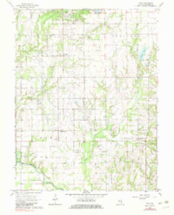
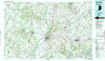
13 topographic sheets cover this place, the earliest surveyed in 1910 and the latest in 1986. It stands in Martin Township. It lies in ZIP code area 62454. The Survey maps it on the Stoy quadrangle. It stands 509 feet above sea level.
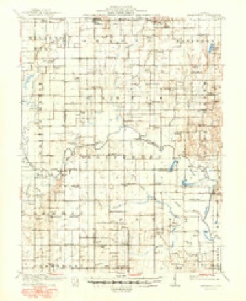
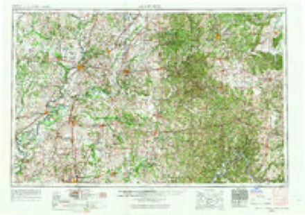
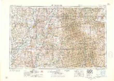
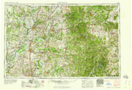
Topographic sheets covering this place
6 surveys from 13 printed sheetsMatched by testing this settlement's coordinate against the published boundary of every sheet in the United States Geological Survey's historical collection. Each opens the scanned sheet at the Survey.
- 1910 USGS Hardinville quadrangle1:62500, 2 printings
- 1956 USGS Vincennes quadrangle1:250000, 4 printings
- 1957 USGS Vincennes quadrangle1:250000
- 1958 USGS Vincennes quadrangle1:250000, 2 printings
- 1968 USGS Stoy quadrangle1:24000, 2 printings
- 1986 USGS Vincennes quadrangle1:100000, 2 printings
Storms near this place
5 since 1999Regional context, not property-specific evidence. The National Weather Service names Hardinville in 5 storm reports between 1999 and 2026: 3 hail, 1 thunderstorm wind, 1 tornado. The reports record 1 injury. Each account below is quoted exactly as the forecast office filed it, from the NOAA Storm Events Database, and each date opens the federal record of that event.
| When | Event | Place named | Harm | What the report says |
|---|---|---|---|---|
| February 2026 | Tornado (EF1) | Hardinville | 1 hurt, $500,000 | The tornado began about three miles southeast of Hardinville, where it damaged several trees near the intersection of East 350th Avenue and North 825th Street. It then intensified to EF-1 as it moved northeast, severely damaging two homes including one mobile home that was thrown off its foundation and wrapped around a tree. An elderly woman in that mobile home was hospitalized with serious injuries. The tornado continued northeast, crossing several tree lines and damaging additional homes and farm buildings along 1125th Street and East 465th Avenue. After that, the tornado only produced minor tree damage. It eventually crossed State Highway 1 and dissipated about 2.5 miles north-northeast of Flat Rock. |
| May 1999 | Thunderstorm Wind | Hardinville | - | Numerous trees and power lines were blown down in Hardinville, Oblong, Robinson and Palestine. A tree fell onto a house in rural Robinson causing minor damage. |
| February 2026 | Hail | Hardinville | - | no account filed |
| May 2022 | Hail | Hardinville | - | no account filed |
| April 2002 | Hail | Hardinville | - | no account filed |
Nearest settlements
The eight closest, with where each one stands in the county. Distances are straight-line, computed from the Geographic Names Information System coordinates.
| Map | Place | Distance | Sheets |
|---|---|---|---|
| Oil Center | 3.6 miles | 13 | |
| Green Brier | 3.8 miles | 13 | |
| Pierceburg | 3.9 miles | 13 | |
| Landes | 4.5 miles | 12 | |
| Villas | 4.6 miles | 13 | |
| Port Jackson | 4.8 miles | 12 | |
| New Hebron | 5.4 miles | 13 | |
| Stoy | 5.6 miles | 13 |
Elsewhere
Matched on this settlement's Geographic Names Information System number rather than its name, so it cannot be a different place of the same name in another state.
| Wikipedia article on Hardinville | An encyclopaedic summary. Its text is share-alike, so it is linked here rather than copied. |
| Wikidata item Q5656180 | The structured record the population and elevation above come from. Public domain (CC0). |
Provenance
This settlement is recorded in the Geographic Names Information System as feature 409774. The sheet list is computed by point-in-boundary test against the United States Geological Survey's historical topographic inventory. Both are works of the United States government and carry no copyright under 17 U.S.C. 105.
Storms. NOAA National Centers for Environmental Information, Storm Events Database https://www.ncei.noaa.gov/stormevents/ A work of the United States government, no copyright under 17 U.S.C. 105. Narratives are quoted verbatim from the National Weather Service report and are not edited or summarised.