 Block
Pierceburg, Illinois
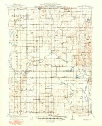
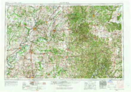
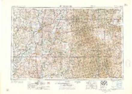
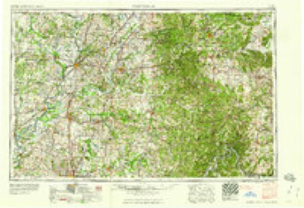
13 topographic sheets cover this place, the earliest surveyed in 1910 and the latest in 1986. It stands in Martin Township. It lies in ZIP code area 62449. It stands on Little Creek. The Survey maps it on the Oblong South quadrangle. It stands 456 feet above sea level.
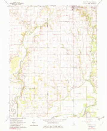
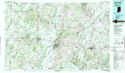
Topographic sheets covering this place
6 surveys from 13 printed sheetsMatched by testing this settlement's coordinate against the published boundary of every sheet in the United States Geological Survey's historical collection. Each opens the scanned sheet at the Survey.
- 1910 USGS Hardinville quadrangle1:62500, 2 printings
- 1956 USGS Vincennes quadrangle1:250000, 4 printings
- 1957 USGS Vincennes quadrangle1:250000
- 1958 USGS Vincennes quadrangle1:250000, 2 printings
- 1968 USGS Oblong South quadrangle1:24000, 2 printings
- 1986 USGS Vincennes quadrangle1:100000, 2 printings
Storms near this place
10 since 2009Regional context, not property-specific evidence. The National Weather Service names Pierceburg in 10 storm reports between 2009 and 2023: 6 flash flood, 2 flood, 1 thunderstorm wind, 1 tornado. The reports record 3 deaths and 8 injuries. Each account below is quoted exactly as the forecast office filed it, from the NOAA Storm Events Database, and each date opens the federal record of that event.
| When | Event | Place named | Harm | What the report says |
|---|---|---|---|---|
| March 2023 | Tornado (EF3) | Pierceburg | 3 killed, 8 hurt | This tornado crossed into western Crawford County from Jasper County at 9:03pm CDT. The tornado tracked northeastward, doing minor structural damage to a machine shed along County Highway 1 near Pierceburg. Numerous wooden power poles were snapped and heavy damage to trees was noted with tops sheared off about 30 feet above ground. Structural damage to homes of the EF1-EF2 variety occurred as the tornado moved across County Highway 15 where two single family homes sustained major roof damage. A mobile home was torn in half with its debris strewn about 20 yards in opposite directions. Trees, while sparse in this area, were sheared about 20-30 feet above the ground. Further east along County Highway 15, structural damage occurred to a large machine shed where a stationary semi-trailer blew into its west-facing wall causing the entire structure to fail. The debris from the large machine shed then blew into an old, poorly anchored single-family residence and caused exterior walls to slide off its foundation. Over the next 3 miles along the path of the tornado just before it reached the south side of Robinson, considerable tree damage was observed.||As the tornado tracked into the south side of Robinson, it narrowly missed a major oil refinery. The tornado destroyed two manufactured homes resulting in two fatalities as it crossed County Highway 9 near the interchange of East 900th Avenue and North 1200th Street. Damage to structures, trees, and wooden power poles was determined to be EF1-EF2.||Heavy structural damage (EF3) and an additional fatality were noted on the east side of Robinson near the interchange of State Highway 1 and East 1050th Avenue where a two-story masonry building experienced failure to its top story walls. The adjacent properties also experienced heavy damage where the exterior walls of two |single-family homes collapsed. Damage to trees and utility poles in this area was extensive due to the amount of debris strewn toward the northeast. ||The tornado then moved over Robinson Municipal Airport, destroying airport hangers and a small outbuilding. The progressive collapse of the rigid frames of the metal building systems, which included steel beams measuring greater than 18 inches in diameter, caused the survey team to estimate EF3 damage at this point.||A continuous track of EF1 damage then extended northeastward across County Highway 5 where multiple single-family homes exhibited large sections of their roof structures removed. In addition, multiple large machine sheds experienced a collapse of their wall structures. ||The survey team concluded that the storm likely maintained its intensity as it tracked northeastward toward the Wabash River, noting about a quarter-mile wide swath of heavy tree damage to distant tree lines as it continued toward the river. The tornado then crossed the Wabash River into the National Weather Service Indianapolis County Warning Area (CWA) in western Sullivan County at 9:21pm CDT. |
| September 2014 | Thunderstorm Wind | Pierceburg | $20,000 | A grain delivery system was blown over and damaged. |
| May 2017 | Flash Flood | Pierceburg | - | The Green Brier Levee on the Embarras River in rural southwest Crawford County was breached in three locations during the afternoon of May 6th. Several rural roads along the river, between Green Brier and Landes were closed due to the flash flooding caused by the levee breach. |
| May 2017 | Flood | Pierceburg | - | The Green Brier Levee on the Embarras River in rural southwest Crawford County was breached in three locations during the afternoon of May 6th. Several rural roads along the river, between Green Brier and Landes were closed due to the flash flooding caused by the levee breach. Flooding of the rural roads continued through the afternoon of May 7th as the water slowly receded. The flood waters finally receded, allowing roads to be re-opened, by the early afternoon of May 8th. |
| May 2017 | Flash Flood | Pierceburg | - | The third heavy rain event to occur in less than two weeks resulted in rapid flash flooding in southern Crawford County. Rainfall amounts ranged from 1.50 to 2.00 inches during the late evening of May 10th into the early morning of May 11th in areas where ditches were already full of water and soils were saturated. Numerous rural roads were closed, particularly from Green Brier to Landes, where the heaviest rainfall occurred. |
| May 2017 | Flood | Pierceburg | - | The third heavy rain event to occur in less than two weeks resulted in rapid flash flooding in southern Crawford County. Rainfall amounts ranged from 1.50 to 2.00 inches during the late evening of May 10th into the early morning of May 11th in areas where ditches were already full of water and soils were saturated. Numerous rural roads were closed, particularly from Green Brier to Landes, where the heaviest rainfall occurred. An additional 0.50 inch of rain during the early morning hours of May 11th kept flood waters from receding until daybreak. |
| June 2015 | Flash Flood | Pierceburg | - | Persistent thunderstorms produced 3.00 to 5.00 of rain on extremely saturated ground in northwest Crawford County during the late evening hours of June 25th. Parts of Illinois Route 33 from Oblong to Stoy were impassable, and rural roads in the west central part of the Crawford County were flooded. |
| June 2013 | Flash Flood | Pierceburg | - | Slow moving thunderstorms produced 2 to 4 inches of rain in a two hour period during the late afternoon in Crawford County. Many rural roads between Robinson and Hardinville were flooded and impassable. Roads south of the city of Palestine between Illinois Route 33 and the Wabash River were also flooded. The flooding quickly subsided by late evening. |
| July 2011 | Flash Flood | Pierceburg | - | Heavy rain of 3.00 to 6.00 inches in a three hour period during the early evening produced flash flooding in southwest Crawford County. Many rural roads south of Oblong were inundated with water flowing over them. |
| June 2009 | Flash Flood | Pierceburg | - | Thunderstorms produced heavy rain of 3.00 to 4.00 inches in central and eastern Crawford County. Many rural roads were inundated with high water. |
Nearest settlements
The eight closest, with where each one stands in the county. Distances are straight-line, computed from the Geographic Names Information System coordinates.
| Map | Place | Distance | Sheets |
|---|---|---|---|
| Green Brier | 1.5 miles | 13 | |
| Hardinville | 3.9 miles | 13 | |
| Landes | 4.6 miles | 12 | |
| Oil Center | 4.7 miles | 13 | |
| Oblong | 4.9 miles | 14 | |
| Stoy | 6.1 miles | 13 | |
| Port Jackson | 8.3 miles | 12 | |
| Villas | 8.4 miles | 13 |
Elsewhere
Matched on this settlement's Geographic Names Information System number rather than its name, so it cannot be a different place of the same name in another state.
| Wikipedia article on Pierceburg | An encyclopaedic summary. Its text is share-alike, so it is linked here rather than copied. |
| Wikidata item Q7191843 | The structured record the population and elevation above come from. Public domain (CC0). |
Provenance
This settlement is recorded in the Geographic Names Information System as feature 415645. The sheet list is computed by point-in-boundary test against the United States Geological Survey's historical topographic inventory. Both are works of the United States government and carry no copyright under 17 U.S.C. 105.
Storms. NOAA National Centers for Environmental Information, Storm Events Database https://www.ncei.noaa.gov/stormevents/ A work of the United States government, no copyright under 17 U.S.C. 105. Narratives are quoted verbatim from the National Weather Service report and are not edited or summarised.