 Block
Harristown, Illinois
11 topographic sheets cover this place, the earliest surveyed in 1954 and the latest in 1985. It stands in Harristown Township. It lies in ZIP code area 62537. The Survey maps it on the Harristown quadrangle. 1,310 people lived here at the 2020 count. It stands 672 feet above sea level.
Population over time
2 figuresHarristown fell from 1,367 to 1,310 between 2010 and 2020. These are the recorded population figures Wikidata holds for this place, reached through the Geographic Names Information System number this page is keyed on rather than by name, so they belong to this place and not to another of the same name. Most are census counts, but not all are: an early figure may be a founding or settlement estimate, and an estimate published within five years of a census is left out. The change column is computed, and is left blank where more than 20 years separate a figure from the one before it, because a gap that long is not a change between two counts.
| Year | People | Change |
|---|---|---|
| 2010 | 1,367 | |
| 2020 | 1,310 | -57 (-4%) |
Topographic sheets covering this place
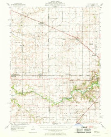
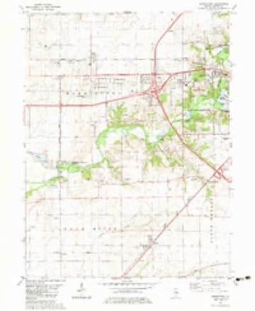
5 surveys from 11 printed sheetsMatched by testing this settlement's coordinate against the published boundary of every sheet in the United States Geological Survey's historical collection. Each opens the scanned sheet at the Survey.
- 1954 USGS Niantic quadrangle1:62500, 3 printings
- 1958 USGS Decatur quadrangle1:250000, 3 printings
- 1961 USGS Decatur quadrangle1:250000, 2 printings
- 1982 USGS Harristown quadrangle1:24000
- 1985 USGS Springfield quadrangle1:100000, 2 printings



In the county-history sources
3,951 words on this townshipHistory of Macon County, Illinois : with Illustrations Descriptive of Its Scenery, and Biographical Sketches of Some of Its Prominent Men and Pioneers, published 1880 names this settlement in its chapter on Harristown Township. These are the passages that mention it, exactly as the scans read.
Harrbtown, like all the towns along the main line of the Wabash. St. Louis and Pacific railway, was laid out soon after the completi.n a the r ad. It is located on sections 9 and 10. In 1856 Jacob I. H bbs built the first house in the town: this was a framebull ling. The first p st-office was established in 1853, at which time Davis Ma^t-rr-. who is at present living in the town and is engage; in manufacturing wagons, was appointed post-master, which position he held for a number of years.
Passage source: History of Macon County, Illinois : with Illustrations Descriptive of Its Scenery, and Biographical Sketches of Some of Its Prominent Men and Pioneers, published 1880.
The next year 1859 Samuel Cox opened a store of general merchandize, which was the first in the place. The earliest school was taught by a gentleman named John S Randle in 1861. It was two years more before the town could boast of a school-house, which was built in 1863.
Passage source: History of Macon County, Illinois : with Illustrations Descriptive of Its Scenery, and Biographical Sketches of Some of Its Prominent Men and Pioneers, published 1880.
In 18b a church, which originally stood a few miles south east of the town, was moved across the prairie and located in Harristown. Tfits was the first church Harristown had within her limits, "fie, however, was without a preacher until 1864, when the Rev. A*. S. Bastian located as pastor. Dr. Greeley was the earliest physician who came to Harristown to practice. H. C. Masters was the first blacksmith in the place.
Passage source: History of Macon County, Illinois : with Illustrations Descriptive of Its Scenery, and Biographical Sketches of Some of Its Prominent Men and Pioneers, published 1880.
Machine-read from a century-old scan, so expect the errors a machine makes: misspelled names, dropped words, stray characters.
Read the whole chapter on Harristown Township - it names this place 6 more 6 times.
Mines and quarries near this place
2 within 5 milesRegional context, not property-specific evidence. The federal mineral resources record lists 2 workings within 5 miles of Harristown: 1 past producer, 1 producer. 1 still produces. What was taken out: Sand and Gravel, Construction. Distance is straight-line from the map coordinates, so a quarry counted here may appear on a neighbouring settlement's page as well.
| Where | Site | Commodity | Status | Recorded |
|---|---|---|---|---|
| Decatur Dredge No. 2 | Sand and Gravel, Construction | Past Producer | ||
| Macon Co. Materials Dredge | Sand and Gravel, Construction | Producer |
Storms near this place
16 since 1994Regional context, not property-specific evidence. The National Weather Service names Harristown in 16 storm reports between 1994 and 2025: 14 thunderstorm wind, 1 tornado, 1 flash flood. No death or injury is recorded in these reports. Each account below is quoted exactly as the forecast office filed it, from the NOAA Storm Events Database, and each date opens the federal record of that event.
| When | Event | Place named | Harm | What the report says |
|---|---|---|---|---|
| December 2018 | Tornado (EF0) | Harristown | $25,000 | A tornado touched down on the southwest edge of Harristown at 6:03 PM CST. The tornado damaged trees and did minor roof damage before quickly dissipating at 6:04 PM CST. |
| June 2018 | Thunderstorm Wind | Harristown | $10,000 | Power lines were blown down on Meridian Street north of Old Route 36. |
| May 2025 | Thunderstorm Wind | Harristown | - | A few power poles were blown down. |
| June 2023 | Thunderstorm Wind | Harristown | - | A tree and several tree branches were blown down. |
| August 2022 | Thunderstorm Wind | Harristown | - | Power lines were blown down in Harristown. |
| June 2021 | Thunderstorm Wind | Harristown | - | An apple tree was snapped. |
| June 2020 | Flash Flood | Harristown | - | Water was flowing over numerous roads in and around Harristown. |
| May 2019 | Thunderstorm Wind | Harristown | - | A tree was snapped in Harristown. |
| May 2018 | Thunderstorm Wind | Harristown | - | A large tree branch was blown down. |
| July 2018 | Thunderstorm Wind | Harristown | - | A few large branches were blown down. |
| April 2006 | Thunderstorm Wind | Harristown | - | Several homes were damaged and numerous outbuildings were damaged or destroyed. Most of the damage to the homes was to the roofs. Numerous trees and power lines down. |
| August 2000 | Thunderstorm Wind | Harristown | - | Numerous trees and power lines were blown down in Harristown, Decatur, Macon, Blue Mound, Mt. Zion and Long Creek. In Blue Mound, a large tree that was knocked down by lightning fell onto a minivan, destroying it. No damage estimates for the van were available. |
| June 1999 | Thunderstorm Wind | Harristown | - | Thunderstorm winds blew down several power lines in Harristown. |
| August 1997 | Thunderstorm Wind | Harristown | - | As a severe thunderstorm moved south across western Macon County, thunderstorm winds knocked down numerous trees, tree limbs and power lines. Also, a power pole was snapped in half in Boody. No injuries were reported and no damage estimate was available. |
| July 1994 | Thunderstorm Wind | Harristown | - | Thunderstorm winds blew down a tree onto a car in Argenta, numerous trees and power lines in Harristown, siding off of a house in Decatur, and roof damage to an apartment building in Warrensburg. No damage estimate was available. |
| July 2004 | Thunderstorm Wind | Harristown | - | no account filed |
Nearest settlements
The eight closest, with where each one stands in the county. Distances are straight-line, computed from the Geographic Names Information System coordinates.
| Map | Place | Distance | Sheets |
|---|---|---|---|
| Wyckles | 2.9 miles | 11 | |
| Wyckles Corners | 3.0 miles | 11 | |
| Niantic | 4.4 miles | 11 | |
| Bearsdale | 4.9 miles | 11 | |
| Bulldog Crossing | 5.5 miles | 11 | |
| Warrensburg | 5.6 miles | 11 | |
| Boody | 6.3 miles | 11 | |
| Blackland | 6.5 miles | 11 |
Elsewhere
Matched on this settlement's Geographic Names Information System number rather than its name, so it cannot be a different place of the same name in another state.
| Wikipedia article on Harristown | An encyclopaedic summary. Its text is share-alike, so it is linked here rather than copied. |
| Wikidata item Q980911 | The structured record the population and elevation above come from. Public domain (CC0). |
Provenance
This settlement is recorded in the Geographic Names Information System as feature 409869. The sheet list is computed by point-in-boundary test against the United States Geological Survey's historical topographic inventory. Both are works of the United States government and carry no copyright under 17 U.S.C. 105.
Mines and quarries. USGS Mineral Resources Data System (MRDS) https://mrdata.usgs.gov/mrds/ A work of the United States government, no copyright under 17 U.S.C. 105.
Storms. NOAA National Centers for Environmental Information, Storm Events Database https://www.ncei.noaa.gov/stormevents/ A work of the United States government, no copyright under 17 U.S.C. 105. Narratives are quoted verbatim from the National Weather Service report and are not edited or summarised.