 Block
Boody, Illinois
11 topographic sheets cover this place, the earliest surveyed in 1954 and the latest in 1985. It stands in Blue Mound Township. It lies in ZIP code area 62514. The Survey maps it on the Harristown quadrangle. 232 people lived here at the 2020 count. It stands 682 feet above sea level.
Population over time
2 figuresBoody fell from 276 to 232 between 2010 and 2020. These are the recorded population figures Wikidata holds for this place, reached through the Geographic Names Information System number this page is keyed on rather than by name, so they belong to this place and not to another of the same name. Most are census counts, but not all are: an early figure may be a founding or settlement estimate, and an estimate published within five years of a census is left out. The change column is computed, and is left blank where more than 20 years separate a figure from the one before it, because a gap that long is not a change between two counts.
| Year | People | Change |
|---|---|---|
| 2010 | 276 | |
| 2020 | 232 | -44 (-16%) |
Topographic sheets covering this place
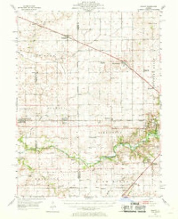
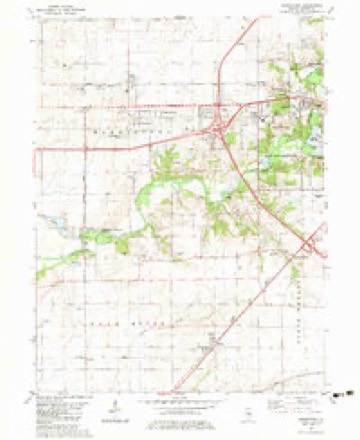
5 surveys from 11 printed sheetsMatched by testing this settlement's coordinate against the published boundary of every sheet in the United States Geological Survey's historical collection. Each opens the scanned sheet at the Survey.
- 1954 USGS Niantic quadrangle1:62500, 3 printings
- 1958 USGS Decatur quadrangle1:250000, 3 printings
- 1961 USGS Decatur quadrangle1:250000, 2 printings
- 1982 USGS Harristown quadrangle1:24000
- 1985 USGS Springfield quadrangle1:100000, 2 printings



In the county-history sources
16,767 words on this townshipHistory of Macon County, Illinois : with Illustrations Descriptive of Its Scenery, and Biographical Sketches of Some of Its Prominent Men and Pioneers, published 1880 names this settlement in its chapter on Blue Mound Township. These are the passages that mention it, exactly as the scans read.
The first land entered in the township was by James Edwards, March 16th, 1833, 40 acres in section No. 20 ; Garland Hall entered December 18th, 1833, 77.40 acres in section 19 ; and Dempsey Pope entered on the same day 80 acres, same section - all in township No. 15 N., R. 1 E. of the 3d P. M. Benjamin Wilson entered Nov. 13th, 1827, 160 acres in section 34 ; also 80 acres in section 35; and on the same day Francis G. Hill enters 80 acres in section 36. The last three entries are in township No. 16 N., R. 1 E of the 3d P. M.
Passage source: History of Macon County, Illinois : with Illustrations Descriptive of Its Scenery, and Biographical Sketches of Some of Its Prominent Men and Pioneers, published 1880.
This place is located on the line of the Wabash, St. Louis and Pacific Railway, in the eastern portion of the township, on each side of the line dividing sections 11 and 12, about six miles southwest from Decatur. The town was named in compliment of the Hon. William Boody, the first president of the Decatur and East St. Louis Railroad. The town was originally laid out by Messrs. Neintker and Smith on sections eleven and twelve, in the year 1870. Frank Reafly erected the first dwelling-house in the same year the town was laid out; and Frederick Nientker, one of the original proprietors of the town, erected and opened the first store with a general stock of goods for sale. This was also in the same year, 1870. In 1872, Charles Mush established the first blacksmithing business The first elevator was built by a gentleman named Binkley, about 1871 ; its capacity was about five thousand bushels. The post-office - Boody - was created in 1870, and Frederick Neintker was appointed the first post-master. Dr. A. C. Douglass was the first physician to locate here. In 1874, four years after the founding of the town, the first school-house was erected, and Byron Lewis became the first teacher. T D. Weems was another early teacher in the Boody school. Among the present business houses of the town will be found : General Stores - Sauter & Hauck, Hill &
Passage source: History of Macon County, Illinois : with Illustrations Descriptive of Its Scenery, and Biographical Sketches of Some of Its Prominent Men and Pioneers, published 1880.
Machine-read from a century-old scan, so expect the errors a machine makes: misspelled names, dropped words, stray characters.
Read the whole chapter on Blue Mound Township - it names this place 1 more 1 time.
Mines and quarries near this place
2 within 5 milesRegional context, not property-specific evidence. The federal mineral resources record lists 2 workings within 5 miles of Boody: 1 past producer, 1 producer. 1 still produces. What was taken out: Sand and Gravel, Construction. Distance is straight-line from the map coordinates, so a quarry counted here may appear on a neighbouring settlement's page as well.
| Where | Site | Commodity | Status | Recorded |
|---|---|---|---|---|
| Decatur Dredge No. 2 | Sand and Gravel, Construction | Past Producer | ||
| Macon Co. Materials Dredge | Sand and Gravel, Construction | Producer |
Storms near this place
9 since 1999Regional context, not property-specific evidence. The National Weather Service names Boody in 9 storm reports between 1999 and 2025: 5 thunderstorm wind, 3 hail, 1 tornado. No death or injury is recorded in these reports. Each account below is quoted exactly as the forecast office filed it, from the NOAA Storm Events Database, and each date opens the federal record of that event.
| When | Event | Place named | Harm | What the report says |
|---|---|---|---|---|
| May 2008 | Thunderstorm Wind | Boody | $15,000 | A tree was uprooted and numerous large tree limbs were blown down. |
| May 2025 | Thunderstorm Wind | Boody | - | A car lot roof was partially torn off and multiple trees were blown down. |
| May 2023 | Tornado (EFU) | Boody | - | A brief landspout tornado touched down in a field about 1 mile north-northwest of Boody at 2:37 PM CDT. The tornado quickly dissipated, and no damage was observed. |
| June 2023 | Thunderstorm Wind | Boody | - | Several large tree branches were blown down. |
| July 2018 | Thunderstorm Wind | Boody | - | Two power poles were leaning. |
| June 1999 | Thunderstorm Wind | Boody | - | Several power lines were blown down in Boody. |
| March 2025 | Hail | Boody | - | no account filed |
| May 2008 | Hail | Boody | - | no account filed |
| June 1999 | Hail | Boody | - | no account filed |
Nearest settlements
The eight closest, with where each one stands in the county. Distances are straight-line, computed from the Geographic Names Information System coordinates.
| Map | Place | Distance | Sheets |
|---|---|---|---|
| Bulldog Crossing | 2.8 miles | 11 | |
| Blackland | 2.9 miles | 11 | |
| Elwin | 3.8 miles | 14 | |
| Macon | 4.6 miles | 11 | |
| Wyckles Corners | 5.5 miles | 11 | |
| Blue Mound | 6.0 miles | 11 | |
| Wyckles | 6.1 miles | 11 | |
| Harristown | 6.3 miles | 11 |
Elsewhere
Matched on this settlement's Geographic Names Information System number rather than its name, so it cannot be a different place of the same name in another state.
| Wikipedia article on Boody | An encyclopaedic summary. Its text is share-alike, so it is linked here rather than copied. |
| Wikidata item Q4942806 | The structured record the population and elevation above come from. Public domain (CC0). |
Provenance
This settlement is recorded in the Geographic Names Information System as feature 404693. The sheet list is computed by point-in-boundary test against the United States Geological Survey's historical topographic inventory. Both are works of the United States government and carry no copyright under 17 U.S.C. 105.
Mines and quarries. USGS Mineral Resources Data System (MRDS) https://mrdata.usgs.gov/mrds/ A work of the United States government, no copyright under 17 U.S.C. 105.
Storms. NOAA National Centers for Environmental Information, Storm Events Database https://www.ncei.noaa.gov/stormevents/ A work of the United States government, no copyright under 17 U.S.C. 105. Narratives are quoted verbatim from the National Weather Service report and are not edited or summarised.