 Block
Henderson Grove, Illinois
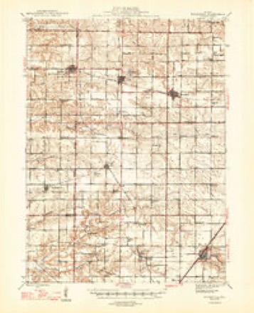
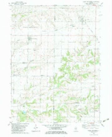
9 topographic sheets cover this place, the earliest surveyed in 1947 and the latest in 1989. It stands in Henderson Township. It lies in ZIP code area 61401. The Survey maps it on the North Henderson quadrangle. It stands 755 feet above sea level.
Topographic sheets covering this place
7 surveys from 9 printed sheetsMatched by testing this settlement's coordinate against the published boundary of every sheet in the United States Geological Survey's historical collection. Each opens the scanned sheet at the Survey.
- 1947 USGS Woodhull quadrangle1:62500, 2 printings
- 1958 USGS Davenport quadrangle1:250000, 2 printings
- 1961 USGS Davenport quadrangle1:250000
- 1962 USGS Davenport quadrangle1:250000
- 1982 USGS North Henderson quadrangle1:24000
- 1984 USGS Aledo quadrangle1:100000
- 1989 USGS Aledo quadrangle1:100000





In the county-history sources
14,041 words on this townshipHistory of Knox County, Illinois, published 1878 names this settlement in its chapter on Henderson Township. These are the passages that mention it, exactly as the scans read.
In an early day, on section 30, near the creek, a well was dug. On arriving at a depth of 60 feet the workmen came to what seemed to be an Indian camping-ground. Ashes, stumps, and general rubbish were there as fresh as though the fires had just gone out. A red cedar log was tJso found.
Passage source: History of Knox County, Illinois, published 1878.
This township has a fine body of timber known as Henderson Grove. A beautiful stream of water passes through this delightful grove, which takes a southwesterly course, and, after receiving several branches, enters into the Mississippi. The timber in this grove is large and lofty, and occupies an area of several square miles. The prairie around is undulating, very rich and dry. Along the edges of the timber the first pioneers settled, and here, too, in Log City the Galesburg colony made their temporary quarters.
Passage source: History of Knox County, Illinois, published 1878.
Mr. Gale, by the early part of 1835, had secured a subscription to the amount of $21,000. On the 6th day of May of this year the first meeting of the subscribers was held in Rome, N. Y. At this meeting an organization was effected, and a Prudential Committee appointed, consisting of George W. Gale, H. II. Kellogg, J. C. Smith, N. West, Thomas Gilbert and Walter Webb. This committee appointed an exploring committee which consisted of Nehemiah West, Thomas Gilbert and Timothy B. Jervis. They were not to purchase land, but examine the country and report a suitable location for the objects of the colony. A purchasing committee was subsequently appointed to proceed forthwith to Illinois, select a location if possible, and make a purchase. This committee were Sylvanus Ferris, Nehemiah West, Thomas Simmons and George W. Gale. They left New York September, 1835. The committee entered about 17 sections of land in township 11 north, 1 east, Knox county, at $1.25 per acre, and returned home, being absent but about 8 weeks.
Passage source: History of Knox County, Illinois, published 1878.
Machine-read from a century-old scan, so expect the errors a machine makes: misspelled names, dropped words, stray characters.
Read the whole chapter on Henderson Township - it names this place 3 more 3 times.
Nearest settlements
The eight closest, with where each one stands in the county. Distances are straight-line, computed from the Geographic Names Information System coordinates.
| Map | Place | Distance | Sheets |
|---|---|---|---|
| Soperville | 1.1 miles | 9 | |
| Henderson | 3.0 miles | 9 | |
| Galesburg | 5.4 miles | 17 | |
| Rio | 6.2 miles | 9 | |
| Ontario | 6.8 miles | 9 | |
| Wataga | 7.0 miles | 9 | |
| East Galesburg | 7.3 miles | 17 | |
| Knox | 10.2 miles | 17 |
Elsewhere
Matched on this settlement's Geographic Names Information System number rather than its name, so it cannot be a different place of the same name in another state.
| Wikipedia article on Henderson Grove | An encyclopaedic summary. Its text is share-alike, so it is linked here rather than copied. |
| Wikidata item Q14687538 | The structured record the population and elevation above come from. Public domain (CC0). |
Provenance
This settlement is recorded in the Geographic Names Information System as feature 410050. The sheet list is computed by point-in-boundary test against the United States Geological Survey's historical topographic inventory. Both are works of the United States government and carry no copyright under 17 U.S.C. 105.