 Block
Henkel, Illinois
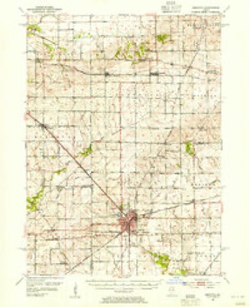
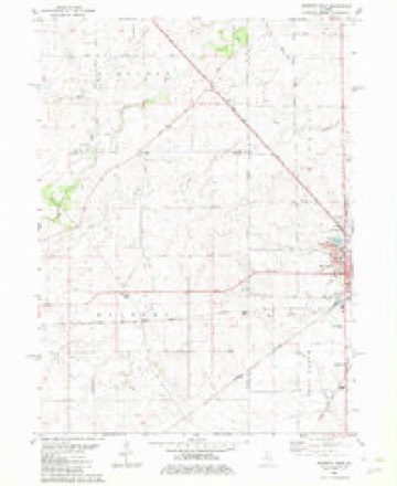
10 topographic sheets cover this place, the earliest surveyed in 1952 and the latest in 1985. It stands in Sublette Township. It lies in ZIP code area 61342. The Survey maps it on the Mendota West quadrangle.
Topographic sheets covering this place
5 surveys from 10 printed sheetsMatched by testing this settlement's coordinate against the published boundary of every sheet in the United States Geological Survey's historical collection. Each opens the scanned sheet at the Survey.
- 1952 USGS Mendota quadrangle1:62500, 3 printings
- 1958 USGS Aurora quadrangle1:250000, 3 printings
- 1961 USGS Aurora quadrangle1:250000
- 1982 USGS Mendota West quadrangle1:24000
- 1985 USGS Dixon quadrangle1:100000, 2 printings



What happened here
An account from the chapter on Sublette township. The inset identifies its exact source book and publication year.
Deceased
JSTelson F. SwARTwouT, farmer, Sublette, brother of Abram Swartwont, was born in Rock Island county, Illinois, in 1844. He attended the Lee Center Academy as well as a commercial school ; enlisted at Dixon, October 1861, in the 34th 111. Inf.; went into Tennessee, was first engaged at Nashville, and was there wounded.
In the county-history sources
16,840 words on this townshipHistory of Lee County, published 1881 has no passage naming this settlement, which was common for smaller places. Its township is covered in full.
The chapter on Sublette Township covers the township.
Read the chapter on Sublette Township - 16,840 words.
Storms near this place
1 since 2017Regional context, not property-specific evidence. The National Weather Service names Henkel in 1 storm report in 2017: 1 thunderstorm wind. No death or injury is recorded in these reports. Each account below is quoted exactly as the forecast office filed it, from the NOAA Storm Events Database, and each date opens the federal record of that event.
| When | Event | Place named | Harm | What the report says |
|---|---|---|---|---|
| May 2017 | Thunderstorm Wind | Henkel | - | Sporadic wind damage was noted over eastern Lee County. Several wooden power poles were broken on route 52 northwest of Mendota. Several hardwood trees were snapped on Route 251 near Cottage Hill Road. An irrigation pivot was toppled in the same area. |
Nearest settlements
The eight closest, with where each one stands in the county. Distances are straight-line, computed from the Geographic Names Information System coordinates.
| Map | Place | Distance | Sheets |
|---|---|---|---|
| Sublette | 4.1 miles | 10 | |
| Welland | 5.7 miles | 11 | |
| West Brooklyn | 6.5 miles | 10 | |
| Melugin Grove (historical) | 8.0 miles | 11 | |
| Shaws | 8.1 miles | 10 | |
| Compton | 8.1 miles | 11 | |
| The Burg | 8.3 miles | 11 | |
| Roxbury | 9.9 miles | 11 |
Provenance
This settlement is recorded in the Geographic Names Information System as feature 422800. The sheet list is computed by point-in-boundary test against the United States Geological Survey's historical topographic inventory. Both are works of the United States government and carry no copyright under 17 U.S.C. 105.
Storms. NOAA National Centers for Environmental Information, Storm Events Database https://www.ncei.noaa.gov/stormevents/ A work of the United States government, no copyright under 17 U.S.C. 105. Narratives are quoted verbatim from the National Weather Service report and are not edited or summarised.