 Block
Hermon, Illinois
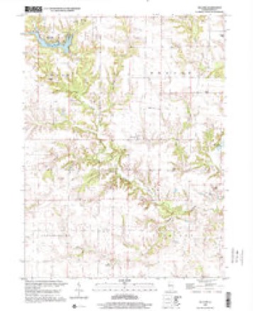
18 topographic sheets cover this place, the earliest surveyed in 1925 and the latest in 1998. It stands in Chestnut Township. It lies in ZIP code area 61458. The Survey maps it on the DeLong quadrangle.
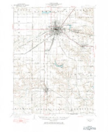
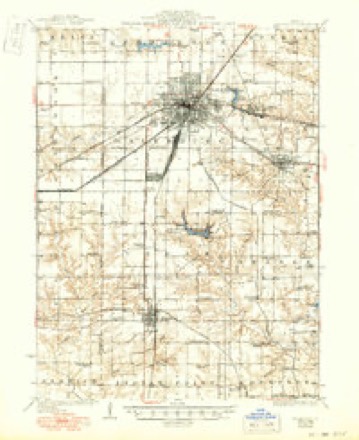
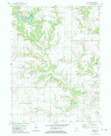
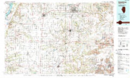
Topographic sheets covering this place
10 surveys from 18 printed sheetsMatched by testing this settlement's coordinate against the published boundary of every sheet in the United States Geological Survey's historical collection. Each opens the scanned sheet at the Survey.
- 1925 USGS Galesburg quadrangle1:62500, 2 printings
- 1927 USGS Galesburg quadrangle1:62500, 3 printings
- 1958 USGS Burlington quadrangle1:250000, 4 printings
- 1961 USGS Burlington quadrangle1:250000
- 1963 USGS Burlington quadrangle1:250000
- 1982 USGS De Long quadrangle1:24000
- 1985 USGS Galesburg quadrangle1:100000, 2 printings
- 1989 USGS Galesburg quadrangle1:100000
- 1990 USGS Burlington quadrangle1:250000, 2 printings
- 1998 USGS De Long quadrangle1:24000




In the county-history sources
2,837 words on this townshipHistory of Knox County, Illinois, published 1878; Portrait and Biographical Album of Knox County, Illinois, published 1886 names this settlement in its chapter on Chestnut Township. These are the passages that mention it, exactly as the scans read.
Spoon river enters this township near the center of section 24 and flows west one mile, and south one mile, west again a mile and a half, then south, making its exit near the center of section 34. For agricultural purposes Chestnut ranks among the best townships in Knox county. The village of Hermon is in this township near its western line.
Passage source: History of Knox County, Illinois, published 1878.
In 1833 Anson Dolf broke ground and sowed wheat on section 17, but did not make a permanent settlement here until the spring of 1834. That year John Terry came and settled on section 16. He was from Greenbriar county, Virginia. William McFarland came in 1839. He came from Loudon county, Ya. Both these pioneers now reside in Abingdon. John Terry was the first Justice of the Peace and performed the first marriage ceremony, by uniting a Mr. Gray to to a Miss Cope, both coming from a distance riding the same horse. The first child born was a daughter of Mr. and Mrs. Shaver, on section 17, in 1835. The first death was that of Jacob Harford.
Passage source: History of Knox County, Illinois, published 1878.
Copley is numbered 12 north of range 4 east, and is bounded on the north by Walnut Grove, on the east by Victoria, on the south by Persifer, and on the west by Sparta Townships. It is very well watered by Court Creek, which runs southwesterly, and then southeasterly, emptying into Sparta River, Foreman Creek, which runs northeasterly, and a branch of Spoon River, running southerly. The northern portion is fine, rolling prairie, and the south- ! em broken and very well timbered. It is especially adapted for raising the cereals, oats and corn being the best crop, and in this production Copley ranks among the first townships in the county. Matthew Herbert was the pioneer settler in this township. He came with his family in the spring of 1837 and made a claim on section 14. He subsequently moved away and is now dead.
Passage source: Portrait and Biographical Album of Knox County, Illinois, published 1886.
Machine-read from a century-old scan, so expect the errors a machine makes: misspelled names, dropped words, stray characters.
Read the whole chapter on Chestnut Township - it names this place 2 more 2 times.
Storms near this place
2 since 1998Regional context, not property-specific evidence. The National Weather Service names Hermon in 2 storm reports between 1998 and 2021: 1 thunderstorm wind, 1 tornado. No death or injury is recorded in these reports. Each account below is quoted exactly as the forecast office filed it, from the NOAA Storm Events Database, and each date opens the federal record of that event.
| When | Event | Place named | Harm | What the report says |
|---|---|---|---|---|
| June 2021 | Tornado (EF1) | Hermon | $150,000 | A tornado touched down 3.5 miles east-southeast of Abingdon at 11:50 PM CDT. The tornado tracked southeastward, flattening crops and knocking down numerous trees along its path. Significant damage occurred to several farm outbuildings along County Road 850 East north of County Highway 39, with debris being strewn southeastward for over a half mile. The tornado lifted about 0.5 miles west of Rapatee just north of the Fulton County line at 12:05 AM CDT. |
| May 1998 | Thunderstorm Wind | Hermon | - | Thunderstorm winds blew down over a dozen trees between Hermon and Williamsfield. One tree fell onto a house causing minor damage and two other homes sustained shingle damage. Also, numerous large tree limbs were blown down. No injuries were reported and no damage estimate was available. |
Nearest settlements
The eight closest, with where each one stands in the county. Distances are straight-line, computed from the Geographic Names Information System coordinates.
| Map | Place | Distance | Sheets |
|---|---|---|---|
| Burnside (historical) | 2.6 miles | 18 | |
| DeLong | 4.2 miles | 18 | |
| Bridgeport (historical) | 4.5 miles | 17 | |
| Abingdon | 5.4 miles | 18 | |
| Saint Augustine | 5.5 miles | 17 | |
| Maquon | 8.7 miles | 16 | |
| Saluda | 8.9 miles | 18 | |
| Rapatee | 9.0 miles | 17 |
Provenance
This settlement is recorded in the Geographic Names Information System as feature 410099. The sheet list is computed by point-in-boundary test against the United States Geological Survey's historical topographic inventory. Both are works of the United States government and carry no copyright under 17 U.S.C. 105.
Storms. NOAA National Centers for Environmental Information, Storm Events Database https://www.ncei.noaa.gov/stormevents/ A work of the United States government, no copyright under 17 U.S.C. 105. Narratives are quoted verbatim from the National Weather Service report and are not edited or summarised.