 Block
Holmes, Illinois
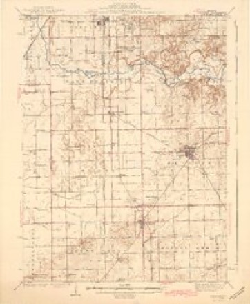
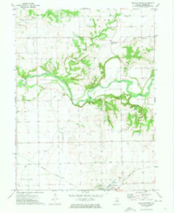
13 topographic sheets cover this place, the earliest surveyed in 1942 and the latest in 1990. It stands in Delavan Township. It lies in ZIP code area 61734. The Survey maps it on the Delavan North quadrangle.
Topographic sheets covering this place
8 surveys from 13 printed sheetsMatched by testing this settlement's coordinate against the published boundary of every sheet in the United States Geological Survey's historical collection. Each opens the scanned sheet at the Survey.
- 1942 USGS Delavan quadrangle1:62500, 3 printings
- 1958 USGS Peoria quadrangle1:250000, 4 printings
- 1961 USGS Peoria quadrangle1:250000
- 1963 USGS Peoria quadrangle1:250000
- 1971 USGS Delavan North quadrangle1:24000
- 1985 USGS Lincoln quadrangle1:100000
- 1989 USGS Lincoln quadrangle1:100000
- 1990 USGS Peoria quadrangle1:250000




In the county-history sources
8,602 words on this townshipHistory of Tazewell County, Illinois ; Together with Sketches of Its Cities, Villages and Townships, Educational, Religious, Civil, Military, and Political History; Portraits of Prominent Persons and Biographies of Representative Citizens. History of Illinois ... Digest of State Laws, published 1879 names this settlement in its chapter on Delavan Township. These are the passages that mention it, exactly as the scans read.
Joseph Holmes, farmer, sections 5 and 6 ; is the son of Joseph Holmes and Charlotte Few, of Cambridgeshire, Eng., where, July 5, 1825, their son Joseph was born. He came to this county in 1848, not until he had married, however; for we find, on the 22d of May, 1842, he was united in marriage with Mary Allgood, also a native of Cambridgeshire, Eng., but at the time of the marriage a resident of Lockport, N. Y. Their children - Alfred was born Jan. 25, 1845, Charles, born April 4, 1855, and Alice J., Mar. 24, 1863. Alfred served three years in the 73d 111. Infantry during the Rebellion. Mr. H. is a brother of Richard Holmes, and, like him, is identified with the Republican party. P. O., Delavan.
Passage source: History of Tazewell County, Illinois ; Together with Sketches of Its Cities, Villages and Townships, Educational, Religious, Civil, Military, and Political History; Portraits of Prominent Persons and Biographies of Representative Citizens. History of Illinois ... Digest of State Laws, published 1879.
George W. Patten. This gentleman was born in Jeiferson Co., N. Y., May. 8, 1836. He is the son of John A. and Betsey E. (Caster) Patten. He received a liberal education in the common schools and Lowville Academy, Lewis Co. He has been engaged in farming during the greater part of his life, and in addition has conducted a hardware store in Delavan for four years. He has, however, disposed of both his store and farm. He served three years in 73d 111. Inf., enlisting in July, 1862. He is now Captain of Co. K. 7th I. N. G. This company is made up of citizens of Delavan. He led to the marriage altar in 1867, Sept. 10, Lottie J. Holmes. Their children are John A., born Sept. 27, 1868, Maggie B., Nov. 27, 1869, Zeboim C, Sept. 15, 1875, and George H., Oct. 15, 1877.
Passage source: History of Tazewell County, Illinois ; Together with Sketches of Its Cities, Villages and Townships, Educational, Religious, Civil, Military, and Political History; Portraits of Prominent Persons and Biographies of Representative Citizens. History of Illinois ... Digest of State Laws, published 1879.
Machine-read from a century-old scan, so expect the errors a machine makes: misspelled names, dropped words, stray characters.
Read the whole chapter on Delavan Township - it names this place 1 more 1 time.
Fires near this place
2 since 2018Regional context, not property-specific evidence. The federal wildfire occurrence database lists 2 fires within 5 miles of Holmes in 2018, burning about 2 acres in total. None started naturally. None was recorded as arson. Distance is straight-line from the map coordinates, so a fire counted here may appear on a neighbouring settlement's page as well.
| Reported cause | Fires |
|---|---|
| Power generation/transmission/distribution | 1 |
| Railroad operations and maintenance | 1 |
The most recent of them, most recent first, with the day each was reported and the service that recorded it.
| Date | Cause | Size | Reported by | Name on the report |
|---|---|---|---|---|
| 5 September 2018 | Power generation/transmission/distribution | 2.0 acres | Illinois Division of Forestry Resources | 087-18 |
| 26 October 2018 | Railroad operations and maintenance | under an acre | Illinois Division of Forestry Resources | 098-18 |
Settlements close enough to share some of these fires:
Mines and quarries near this place
1 within 5 milesRegional context, not property-specific evidence. The federal mineral resources record lists 1 working within 5 miles of Holmes: 1 producer. All of them still produce. What was taken out: Sand and Gravel, Construction. Distance is straight-line from the map coordinates, so a quarry counted here may appear on a neighbouring settlement's page as well.
| Where | Site | Commodity | Status | Recorded |
|---|---|---|---|---|
| Crabb Pit | Sand and Gravel, Construction | Producer |
Nearest settlements
The eight closest, with where each one stands in the county. Distances are straight-line, computed from the Geographic Names Information System coordinates.
| Map | Place | Distance | Sheets |
|---|---|---|---|
| Delavan | 2.2 miles | 13 | |
| Winkel | 3.4 miles | 13 | |
| Green Valley | 3.5 miles | 14 | |
| Brownwood | 5.9 miles | 14 | |
| Dillon | 6.9 miles | 13 | |
| Boynton | 8.2 miles | 14 | |
| South Pekin | 8.4 miles | 14 | |
| Hopedale | 9.4 miles | 14 |
Provenance
This settlement is recorded in the Geographic Names Information System as feature 422816. The sheet list is computed by point-in-boundary test against the United States Geological Survey's historical topographic inventory. Both are works of the United States government and carry no copyright under 17 U.S.C. 105.
Wildfire. Short, Karen C. 2022. Spatial wildfire occurrence data for the United States, 1992-2020 [FPA_FOD_20221014]. 6th Edition. Fort Collins, CO: Forest Service Research Data Archive. https://doi.org/10.2737/RDS-2013-0009.6 Collected with United States Government funding and usable without additional permissions or fees.
Mines and quarries. USGS Mineral Resources Data System (MRDS) https://mrdata.usgs.gov/mrds/ A work of the United States government, no copyright under 17 U.S.C. 105.