 Block
Idylside, Illinois
23 topographic sheets cover this place, the earliest surveyed in 1892 and the latest in 1998. It stands in Joliet Township. It lies in ZIP code area 60436. The Survey maps it on the Joliet quadrangle.
Topographic sheets covering this place
10 surveys from 23 printed sheetsMatched by testing this settlement's coordinate against the published boundary of every sheet in the United States Geological Survey's historical collection. Each opens the scanned sheet at the Survey.
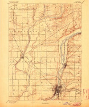
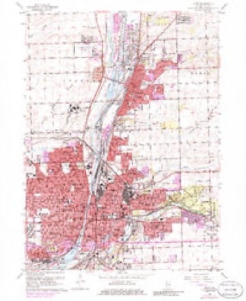
- 1892 USGS Joliet quadrangle1:62500, 6 printings
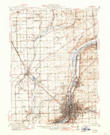
- 1923 USGS Joliet quadrangle1:62500, 5 printings
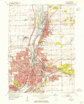
- 1954 USGS Joliet quadrangle1:24000
- 1954 USGS Joliet quadrangle1:62500
- 1958 USGS Aurora quadrangle1:250000, 3 printings
- 1961 USGS Aurora quadrangle1:250000
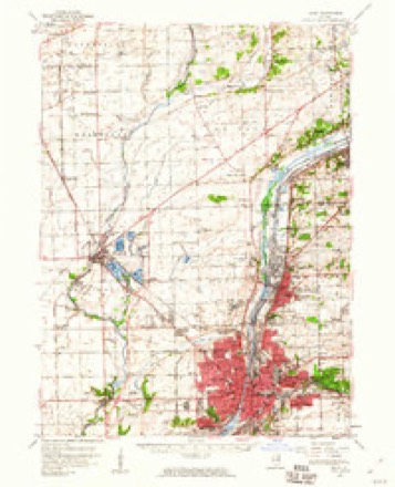
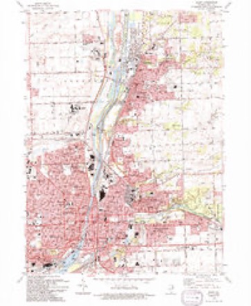
- 1962 USGS Joliet quadrangle1:24000, 3 printings
- 1985 USGS Aurora quadrangle1:100000
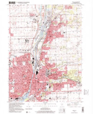
- 1993 USGS Joliet quadrangle1:24000
- 1998 USGS Joliet quadrangle1:24000



In the county-history sources
16,216 words on this townshipThe History of Will County, Illinois, Containing a History of the County ... a Directory of Its Real Estate Owners; Portraits of Early Settlers and Prominent Men; General and Local Statistics ... History of Illinois ... History of the Northwest .., published 1878 has no passage naming this settlement, which was common for smaller places. Its township is covered in full.
The chapter on Joliet Township covers the township.
Read the chapter on Joliet Township - 16,216 words.
Fires near this place
2 since 2008Regional context, not property-specific evidence. The federal wildfire occurrence database lists 2 fires within 5 miles of Idylside between 2008 and 2018, burning about 32 acres in total. None started naturally. None was recorded as arson. Distance is straight-line from the map coordinates, so a fire counted here may appear on a neighbouring settlement's page as well.
| Reported cause | Fires |
|---|---|
| Debris and open burning | 1 |
| Railroad operations and maintenance | 1 |
The most recent of them, most recent first, with the day each was reported and the service that recorded it.
| Date | Cause | Size | Reported by | Name on the report |
|---|---|---|---|---|
| 15 August 2008 | Debris and open burning | 6.5 acres | Midewin National Tall Grass Prairie | MILLSDALE FIRE |
| 20 March 2018 | Railroad operations and maintenance | 25 acres | Midewin National Tall Grass Prairie | DRUMMOND |
Settlements close enough to share some of these fires:
Mines and quarries near this place
10 of 17 shownRegional context, not property-specific evidence. The federal mineral resources record lists 17 workings within 5 miles of Idylside: 10 past producers, 3 occurrences, 3 producers, 1 plant. 4 still produce. What was taken out: Stone, Crushed/Broken, Phosphorus-Phosphates, Magnesite. Distance is straight-line from the map coordinates, so a quarry counted here may appear on a neighbouring settlement's page as well.
| Where | Site | Commodity | Status | Recorded |
|---|---|---|---|---|
| U S Refactories Div. Mill | Magnesite | Producer | ||
| Joliet Phos-Acid Plant | Phosphorus-Phosphates | Plant | ||
| Joliet Phosphoric Acid Plant | Phosphorus-Phosphates | Past Producer | ||
| Gross & Mc Cowan Lumber Co. Quarry | Stone, Crushed/Broken | Past Producer | ||
| Inland Crushed Stone Co Quarry | Stone, Crushed/Broken | Past Producer | ||
| Joliet Quarry & Mill Yard 340 | Stone, Crushed/Broken | Producer | ||
| Limestone Prospect | Stone, Crushed/Broken | Occurrence | ||
| Limestone Prospect | Stone, Crushed/Broken | Occurrence | ||
| Limestone Prospect | Stone, Crushed/Broken | Occurrence | ||
| Lincoln Stone Quarry | Stone, Crushed/Broken | Past Producer |
Storms near this place
7 since 2009Regional context, not property-specific evidence. The National Weather Service names Idylside in 7 storm reports between 2009 and 2026: 3 thunderstorm wind, 2 hail, 1 lightning, 1 flood. No death or injury is recorded in these reports. Each account below is quoted exactly as the forecast office filed it, from the NOAA Storm Events Database, and each date opens the federal record of that event.
| When | Event | Place named | Harm | What the report says |
|---|---|---|---|---|
| July 2009 | Lightning | Idylside | $50,000 | Lightning struck a four unit condominium near Buell and Midland Avenues and started a fire in the attic. |
| June 2010 | Thunderstorm Wind | Idylside | $5,000 | A one foot diameter tree limb was blown down on a garage roof near Jefferson Street and Larkin Avenue causing damage. |
| January 2026 | Flood | Idylside | - | Video shared on social media showed street flooding in multiple locations in Joliet. Rainfall reports included 2.92 inches in Rockdale and 2.77 inches near Lockport. |
| May 2020 | Thunderstorm Wind | Idylside | - | Dozens of large trees were blown down across Joliet including in downtown. There was wind damage to multiple roofs, including much of a roof lifted and thrown from a downtown building. Numerous trees and power lines were blown down. Near Larkin Avenue and Jefferson Street, widespread tree damage was reported including trees two feet in diameter, blocking multiple streets. Power lines were blown down along Black Road at Ann Street and Larkin Avenue. The entire damage area was most likely due to a series of downbursts given the large footprint. Wind gusts were estimated between 75 mph and 95 mph. |
| August 2020 | Thunderstorm Wind | Idylside | - | Sporadic tree limbs 6 to 12 inches in diameter were blown down along McDonough Street. |
| February 2024 | Hail | Idylside | - | no account filed |
| August 2014 | Hail | Idylside | - | no account filed |
Nearest settlements
The eight closest, with where each one stands in the county. Distances are straight-line, computed from the Geographic Names Information System coordinates.
| Map | Place | Distance | Sheets |
|---|---|---|---|
| Rockdale | 1.0 miles | 23 | |
| Fairway Estates | 1.4 miles | 23 | |
| Sayles Manor | 1.6 miles | 23 | |
| Old Kent | 1.8 miles | 23 | |
| Northfield | 1.8 miles | 23 | |
| Larkins Pointe | 1.9 miles | 23 | |
| Springwood South | 2.1 miles | 23 | |
| Joliet | 2.2 miles | 23 |
Elsewhere
Matched on this settlement's Geographic Names Information System number rather than its name, so it cannot be a different place of the same name in another state.
| Wikidata item Q122541474 | The structured record the population and elevation above come from. Public domain (CC0). |
Provenance
This settlement is recorded in the Geographic Names Information System as feature 410750. The sheet list is computed by point-in-boundary test against the United States Geological Survey's historical topographic inventory. Both are works of the United States government and carry no copyright under 17 U.S.C. 105.
Wildfire. Short, Karen C. 2022. Spatial wildfire occurrence data for the United States, 1992-2020 [FPA_FOD_20221014]. 6th Edition. Fort Collins, CO: Forest Service Research Data Archive. https://doi.org/10.2737/RDS-2013-0009.6 Collected with United States Government funding and usable without additional permissions or fees.
Mines and quarries. USGS Mineral Resources Data System (MRDS) https://mrdata.usgs.gov/mrds/ A work of the United States government, no copyright under 17 U.S.C. 105.
Storms. NOAA National Centers for Environmental Information, Storm Events Database https://www.ncei.noaa.gov/stormevents/ A work of the United States government, no copyright under 17 U.S.C. 105. Narratives are quoted verbatim from the National Weather Service report and are not edited or summarised.