 Block
Industry, Illinois
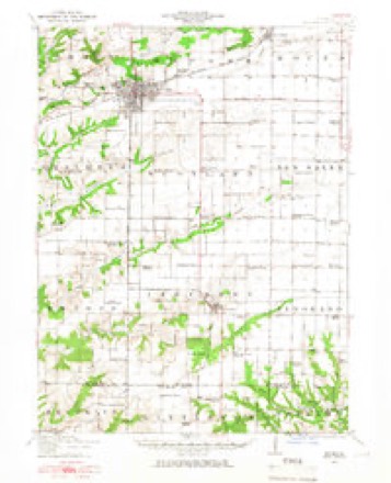
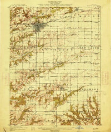
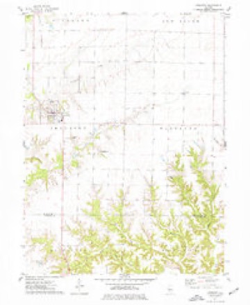
16 topographic sheets cover this place, the earliest surveyed in 1912 and the latest in 1990. It stands in Industry Township. It lies in ZIP code area 61440. The Survey maps it on the Industry quadrangle. 399 people lived here at the 2020 count. It stands 659 feet above sea level.
Population over time
2 figuresIndustry fell from 478 to 399 between 2010 and 2020. These are the recorded population figures Wikidata holds for this place, reached through the Geographic Names Information System number this page is keyed on rather than by name, so they belong to this place and not to another of the same name. Most are census counts, but not all are: an early figure may be a founding or settlement estimate, and an estimate published within five years of a census is left out. The change column is computed, and is left blank where more than 20 years separate a figure from the one before it, because a gap that long is not a change between two counts.
| Year | People | Change |
|---|---|---|
| 2010 | 478 | |
| 2020 | 399 | -79 (-17%) |
Topographic sheets covering this place
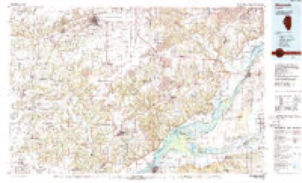
9 surveys from 16 printed sheetsMatched by testing this settlement's coordinate against the published boundary of every sheet in the United States Geological Survey's historical collection. Each opens the scanned sheet at the Survey.
- 1912 USGS Macomb quadrangle1:62500
- 1914 USGS Macomb quadrangle1:62500, 4 printings
- 1958 USGS Burlington quadrangle1:250000, 4 printings
- 1961 USGS Burlington quadrangle1:250000
- 1963 USGS Burlington quadrangle1:250000
- 1974 USGS Industry quadrangle1:24000
- 1985 USGS Macomb quadrangle1:100000
- 1989 USGS Macomb quadrangle1:100000
- 1990 USGS Burlington quadrangle1:250000, 2 printings




Storms near this place
41 since 1993Regional context, not property-specific evidence. The National Weather Service names Industry in 41 storm reports between 1993 and 2026: 13 thunderstorm wind, 13 hail, 6 tornado, 3 heavy rain. No death or injury is recorded in these reports. Each account below is quoted exactly as the forecast office filed it, from the NOAA Storm Events Database, and each date opens the federal record of that event.
| When | Event | Place named | Harm | What the report says |
|---|---|---|---|---|
| June 2008 | Thunderstorm Wind | Industry | $25,000 | Winds estimated to be 70 mph blew down 7 to 8 utility poles across Highway 67 near Industry, IL. |
| June 2003 | Thunderstorm Wind | Industry | $20,000 | Power lines down |
| April 1997 | Tornado (F0) | Industry | $20,000 | no account filed |
| July 2008 | Flash Flood | Industry | $15,000 | Torrential rains resulted in flash flooding of a church in Industry, IL during the evening of July 27. Standing water was also observed in the area. |
| June 2010 | Tornado (EF0) | Industry | $5,000 | A tornado briefly touched down northeast of Industry, IL around 730 pm CDT June 21. A spotter observed this touchdown as it took the roof off a barn. |
| April 2006 | Thunderstorm Wind | Industry | $4,000 | Two foot diameter pine trees uprooted with shingles off a house and garage. A basketball stand was blown over onto an automobile causing damage. Power lines and a privacy fence were downed. |
| August 1993 | Thunderstorm Wind | Industry | $500 | Several 8-inch diameter trees were blown down 2 miles south of Colchester. A large tree was blown down at Industry. |
| April 2026 | Thunderstorm Wind | Industry | - | Tree limbs down and a flag pole snapped 8 feet above the ground. |
| May 2024 | Thunderstorm Wind | Industry | - | Large tree limb reported blown down. The time was estimated from radar data. |
| April 2023 | Tornado (EF1) | Industry | - | An EF1 tornado touched down south of Industry, Illinois near highway 67 damaging barns, outbuildings, and snapping many large hardwood trees. The tornado continued to track to the northeast causing significant damage to several empty large grain bins and destroying a portion of a roof of a house. Occasional damage was found to trees, outbuildings, and grain bins across far east-central McDonough County as the tornado appeared to be dissipating just before the McDonough-Fulton County line. The tornado was on the ground for 8.31 miles with a maximum width of 350 yards. Its peak estimated wind speed was 105 MPH. |
| April 2023 | Hail | Industry | - | A trained spotter reported that the hail lasted for 5 minutes and nearly covered the ground. |
| April 2023 | Hail | Industry | - | A trained spotter reported that hail size has increased to quarters. |
| May 2022 | Tornado (EF1) | Industry | - | A tornado touched down northwest of Industry, IL on the evening of May 31, 2022. The tornado lofted a grain bin, damaged a farm outbuilding and snapped a power pole along Highway 67. The tornado was on the ground for just over 1.5 miles. Start and end times were estimated by radar. There were no injuries/fatalities reported. Assistance from McDonough County Emergency Management in completing the survey is greatly appreciated. |
| June 2022 | Flood | Industry | - | A trained spotter reported the Grindstone Creek well out of it's banks due to heavy rain. |
| June 2022 | Thunderstorm Wind | Industry | - | A pine tree was snapped off, about half way up the tree. |
| June 2022 | Thunderstorm Wind | Industry | - | A portion of a barn roof was blown off, as relayed by broadcast media. The time of this event was estimated from radar data. |
| May 2019 | Flash Flood | Industry | - | A county road was washed out due to the flooding from storms late May 25th. |
| December 2018 | Tornado (EF0) | Industry | - | A trained spotter reported a brief tornado in a field. The spotter reported that the tornado narrowly missed a house. No damage was reported and the track of the storm was estimated. The tornado was on the ground for approximately 10 to 15 seconds. |
| March 2017 | Thunderstorm Wind | Industry | - | A report of 4 to 5 power poles was received from the county emergency manager, located on Highway 67 north of 550th Street in the North portion of Industry. Time was estimated by radar. |
| June 2015 | Flash Flood | Industry | - | Water was reported over Highway 67 in locations 1 to 2 miles north of Industry, Illinois. The water was 6 to 10 inches deep in areas. |
| November 2015 | Thunderstorm Wind | Industry | - | A trained spotter reported a large tree around 4 feet in diameter was blown down on a house. |
| April 2014 | Hail | Industry | - | Law enforcement reported that golf ball sized hail fell for 3 to 5 minutes and littered the ground. |
| May 2013 | Thunderstorm Wind | Industry | - | Law enforcement reported power poles and lines down along a 2 to 3 mile stretch of Highway 67. |
| July 2010 | Thunderstorm Wind | Industry | - | Wind gusts estimated to be 65 mph blew down a couple of trees in Industry, IL around 230 pm CDT July 24. |
| March 2009 | Thunderstorm Wind | Industry | - | According to the Macomb Journal newspaper, 13 power poles were snapped off just east of Industry due to thunderstorm winds. |
| May 2009 | Flood | Industry | - | Heavy rains caused the flooding of some agricultural fields just north of Industry, IL during the late evening hours of May 15. The runoff from the fields flooded a 200 foot section of Highway 67. The flood waters were 3 to 6 inches deep. |
| February 2008 | Heavy Rain | Industry | - | A spotter reported many flooded farm fields with area creeks and ditches running full near Industry. |
| February 2008 | Heavy Rain | Industry | - | A spotter reported that Grind Stone Creek was approximately 2 feet out of its banks 2 miles southwest of Industry. |
| April 2006 | Hail | Industry | - | Nickel sized hail fell on the north side of town. |
| September 2006 | Heavy Rain | Industry | - | A spotter reported 1 inch of rain since 1800 CST September 10th. |
| May 1998 | Tornado (F0) | Industry | - | A brief tornado touched down then lifted as the thunderstorm producing the tornado moved east. No damage was reported. |
| March 2024 | Hail | Industry | - | no account filed |
| April 2023 | Hail | Industry | - | no account filed |
| April 2023 | Hail | Industry | - | no account filed |
| April 2023 | Hail | Industry | - | no account filed |
| May 2023 | Hail | Industry | - | no account filed |
| June 2018 | Hail | Industry | - | no account filed |
| March 2017 | Hail | Industry | - | no account filed |
| April 2014 | Hail | Industry | - | no account filed |
| April 2013 | Hail | Industry | - | no account filed |
| June 1999 | Funnel Cloud | Industry | - | no account filed |
Nearest settlements
The eight closest, with where each one stands in the county. Distances are straight-line, computed from the Geographic Names Information System coordinates.
| Map | Place | Distance | Sheets |
|---|---|---|---|
| Stewardsville (historical) | 1.9 miles | 16 | |
| Doddsville | 4.2 miles | 16 | |
| Pennington Point | 5.4 miles | 16 | |
| Adair | 8.6 miles | 18 | |
| Fandon | 8.7 miles | 14 | |
| Shoo Fly | 9.2 miles | 18 | |
| Macomb | 9.7 miles | 20 | |
| East Village | 10.2 miles | 20 |
Elsewhere
Matched on this settlement's Geographic Names Information System number rather than its name, so it cannot be a different place of the same name in another state.
| Wikipedia article on Industry | An encyclopaedic summary. Its text is share-alike, so it is linked here rather than copied. |
| Wikidata item Q2123957 | The structured record the population and elevation above come from. Public domain (CC0). |
Provenance
This settlement is recorded in the Geographic Names Information System as feature 410887. The sheet list is computed by point-in-boundary test against the United States Geological Survey's historical topographic inventory. Both are works of the United States government and carry no copyright under 17 U.S.C. 105.
Storms. NOAA National Centers for Environmental Information, Storm Events Database https://www.ncei.noaa.gov/stormevents/ A work of the United States government, no copyright under 17 U.S.C. 105. Narratives are quoted verbatim from the National Weather Service report and are not edited or summarised.