 Block
Inman, Illinois
19 topographic sheets cover this place, the earliest surveyed in 1905 and the latest in 1987. It stands in Ridgway Township. It lies in ZIP code area 62979. The Survey maps it on the New Haven SW quadrangle.
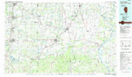
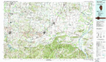
Topographic sheets covering this place
12 surveys from 19 printed sheetsMatched by testing this settlement's coordinate against the published boundary of every sheet in the United States Geological Survey's historical collection. Each opens the scanned sheet at the Survey.
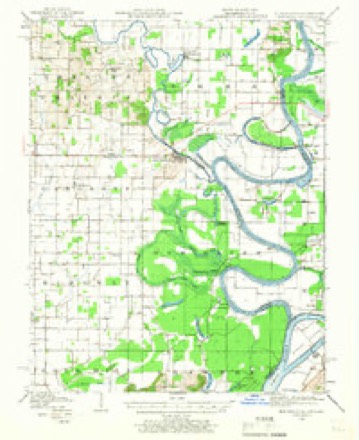
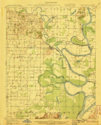
- 1905 USGS New Haven quadrangle1:62500
- 1906 USGS New Haven quadrangle1:62500, 4 printings
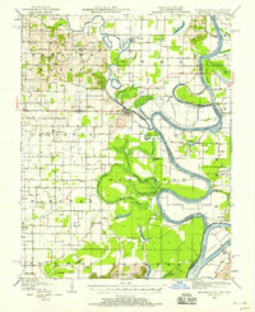
- 1949 USGS New Haven quadrangle1:62500
- 1949 USGS Paducah quadrangle1:250000, 2 printings
- 1950 USGS Paducah quadrangle1:250000
- 1954 USGS Paducah quadrangle1:250000, 2 printings
- 1961 USGS Paducah quadrangle1:250000, 2 printings
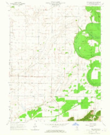
- 1964 USGS New Haven SW quadrangle1:24000
- 1964 USGS Paducah quadrangle1:250000, 2 printings
- 1984 USGS West Frankfort quadrangle1:100000
- 1987 USGS Paducah quadrangle1:250000
- 1987 USGS West Frankfort quadrangle1:100000






Mines and quarries near this place
1 within 5 milesRegional context, not property-specific evidence. The federal mineral resources record lists 1 working within 5 miles of Inman: 1 occurrence. None of them still produces. What was taken out: Sand and Gravel, Construction. Distance is straight-line from the map coordinates, so a quarry counted here may appear on a neighbouring settlement's page as well.
| Where | Site | Commodity | Status | Recorded |
|---|---|---|---|---|
| Shawnee High Interest Sand and Gravel Deposit | Sand and Gravel, Construction | Occurrence | Sand and Gravel |
Storms near this place
2 since 2024Regional context, not property-specific evidence. The National Weather Service names Inman in 2 storm reports between 2024 and 2025: 1 tornado, 1 flood. No death or injury is recorded in these reports. Each account below is quoted exactly as the forecast office filed it, from the NOAA Storm Events Database, and each date opens the federal record of that event.
| When | Event | Place named | Harm | What the report says |
|---|---|---|---|---|
| April 2024 | Tornado (EF1) | Inman | $80,000 | A brief EF-1 tornado occurred in eastern Gallatin County during the early morning hours of Tuesday, April 2nd. The tornado began about five miles east of Ridgway along Maloney Road. A couple of large farm outbuildings had significant portions of their roofs removed, with debris tossed hundreds of feet. A cattle feed barn was knocked down. One home on Maloney Road suffered shingle damage. After crossing Big Hill Road, the tornado lifted just west of the intersection of Hulda Lake Road and Sand Road. Several trees along the path were uprooted or had large limbs broken. Peak winds were estimated at 95 mph. |
| February 2025 | Flood | Inman | $5,000 | Minor flooding of bottomland and surrounding low-lying areas occurred near Shawneetown continuously through the end of the month and into early March. Moderate flooding closed several county roads from the 21st through the 26th, when the river rose to a crest of 44.7 feet which was above the moderate flood stage of 43 feet. |
Nearest settlements
The eight closest, with where each one stands in the county. Distances are straight-line, computed from the Geographic Names Information System coordinates.
| Map | Place | Distance | Sheets |
|---|---|---|---|
| Cottonwood | 4.1 miles | 20 | |
| New Market (historical) | 4.7 miles | 19 | |
| Ridgway | 5.4 miles | 18 | |
| New Haven | 5.4 miles | 20 | |
| Omaha | 7.8 miles | 18 | |
| Elba | 8.2 miles | 18 | |
| Junction | 8.6 miles | 23 | |
| Shawneetown | 8.6 miles | 23 |
Provenance
This settlement is recorded in the Geographic Names Information System as feature 422838. The sheet list is computed by point-in-boundary test against the United States Geological Survey's historical topographic inventory. Both are works of the United States government and carry no copyright under 17 U.S.C. 105.
Mines and quarries. USGS Mineral Resources Data System (MRDS) https://mrdata.usgs.gov/mrds/ A work of the United States government, no copyright under 17 U.S.C. 105.
Storms. NOAA National Centers for Environmental Information, Storm Events Database https://www.ncei.noaa.gov/stormevents/ A work of the United States government, no copyright under 17 U.S.C. 105. Narratives are quoted verbatim from the National Weather Service report and are not edited or summarised.