 Block
Ridgway, Illinois
18 topographic sheets cover this place, the earliest surveyed in 1905 and the latest in 1987. It stands in Ridgway Township. It lies in ZIP code area 62979. The Survey maps it on the Ridgway quadrangle. 851 people lived here at the 2020 count. It stands 374 feet above sea level.
Population over time
2 figuresRidgway fell from 869 to 851 between 2010 and 2020. These are the recorded population figures Wikidata holds for this place, reached through the Geographic Names Information System number this page is keyed on rather than by name, so they belong to this place and not to another of the same name. Most are census counts, but not all are: an early figure may be a founding or settlement estimate, and an estimate published within five years of a census is left out. The change column is computed, and is left blank where more than 20 years separate a figure from the one before it, because a gap that long is not a change between two counts.
| Year | People | Change |
|---|---|---|
| 2010 | 869 | |
| 2020 | 851 | -18 (-2%) |
Topographic sheets covering this place
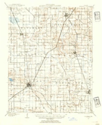
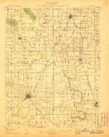
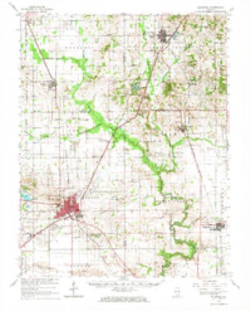
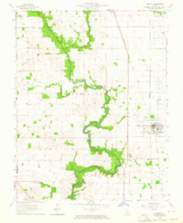
12 surveys from 18 printed sheetsMatched by testing this settlement's coordinate against the published boundary of every sheet in the United States Geological Survey's historical collection. Each opens the scanned sheet at the Survey.
- 1905 USGS Eldorado quadrangle1:62500
- 1906 USGS Eldorado quadrangle1:62500, 2 printings
- 1949 USGS Paducah quadrangle1:250000, 2 printings
- 1950 USGS Paducah quadrangle1:250000
- 1954 USGS Paducah quadrangle1:250000, 2 printings
- 1961 USGS Paducah quadrangle1:250000, 2 printings
- 1963 USGS Eldorado quadrangle1:62500
- 1963 USGS Ridgway quadrangle1:24000, 2 printings
- 1964 USGS Paducah quadrangle1:250000, 2 printings
- 1984 USGS West Frankfort quadrangle1:100000
- 1987 USGS Paducah quadrangle1:250000
- 1987 USGS West Frankfort quadrangle1:100000






Storms near this place
27 since 1999Regional context, not property-specific evidence. The National Weather Service names Ridgway in 27 storm reports between 1999 and 2024: 13 thunderstorm wind, 9 hail, 2 funnel cloud, 1 flash flood. No death or injury is recorded in these reports. Each account below is quoted exactly as the forecast office filed it, from the NOAA Storm Events Database, and each date opens the federal record of that event.
| When | Event | Place named | Harm | What the report says |
|---|---|---|---|---|
| April 2011 | Thunderstorm Wind | Ridgway | $2,000,000 | A large swath of very damaging straight-line winds, associated with a bow echo on radar, affected north and east Gallatin County. The damage swath was mostly over sparsely populated farm country, except where it struck New Haven. Winds were estimated around 90 mph over much of the area. Some barns were destroyed or damaged, including partial loss of roofs and walls. Grain storage equipment was damaged, including upending and destruction of several grain bins. One grain bin was blown into vehicles and onto a house, damaging the house roof. Some metal storage sheds were damaged or destroyed. Many large trees were uprooted, and a number of large tree trunks were snapped. There was shingle, siding, and antenna damage at some residences. One mobile home was shifted off piers and one was overturned. Utility pole crossarms were snapped, and poles were blown over. |
| March 2008 | Flood | Ridgway | $1,200,000 | Much of the flooding was due to a combination of backwater from the Ohio River and tremendous runoff from inland areas. The emergency management director reported that flooding in Old Shawneetown was the worst since 1964. All but the eastern part of town was flooded. About 20 families evacuated flooded parts of the county. Near Ridgway, firefighters rescued three children who were boating in floodwaters. The boat was taking on water, and the children were bailing water. Sandbagging was done to protect property in Equality and Junction. The Saline River was the primary cause of flooding there. A State of Emergency was declared for the county. Old Shaweetown was closed to all traffic except emergency local traffic. |
| April 2024 | Tornado (EF1) | Ridgway | $80,000 | A brief EF-1 tornado impacted the west side of Ridgway, IL, during the early morning hours of Tuesday, April 2nd. The tornado began just south of Main Street along St. Joseph Road, where one home suffered minor roof damage and several large tree limbs were downed. Moving northeast, the tornado damaged a grain bin just south of Main Street and collapsed an outbuilding just north of Main Street. The tornado did limited tree damage in the city park before lifting near the intersection of City Park Drive and Murphy Street. Peak winds were estimated at 90 mph. |
| April 2006 | Thunderstorm Wind | Ridgway | $60,000 | The roofs of several buildings were damaged, including those of a funeral home and a gym. At a church downtown, about a third of the parish center roof was blown off, and several windows and doors were blown out. A board that was blown through a window was impaled in the wall of a Sunday school room. The siding was ripped off one side of a hardware store. Scattered trees and large tree limbs were down on the properties of the damaged buildings. |
| May 2024 | Thunderstorm Wind | Ridgway | $45,000 | Significant tree damage occurred in Ridgway with roof damage to multiple homes as a result of straight-line winds moving through Gallatin County. |
| August 2023 | Thunderstorm Wind | Ridgway | $25,000 | There were numerous reports of trees and power lines down. Nearly 900 customers were without power. |
| May 2011 | Thunderstorm Wind | Ridgway | $10,000 | Several power poles were blown down. |
| May 2006 | Thunderstorm Wind | Ridgway | $10,000 | In New Haven Township, a half dozen irrigation units were blown over and damaged or destroyed. |
| May 2000 | Thunderstorm Wind | Ridgway | $7,000 | Five power poles were snapped off. |
| July 2012 | Thunderstorm Wind | Ridgway | $5,000 | Power lines were blown down. |
| May 1999 | Thunderstorm Wind | Ridgway | $5,000 | Gusts to 60 MPH downed tree limbs and power lines. |
| June 2011 | Thunderstorm Wind | Ridgway | $4,000 | A large pine tree was blown over. Another small tree was blown down. A dog pen and lawn furniture were blown over. |
| April 2016 | Thunderstorm Wind | Ridgway | $3,000 | Power lines were blown down. |
| April 2002 | Thunderstorm Wind | Ridgway | $3,000 | A tin roof was damaged, and a large tree was down on a swing set. |
| September 2006 | Hail | Ridgway | - | Dime-size hail was reported in New Haven. |
| November 2005 | Flash Flood | Ridgway | - | Water was over Illinois Route 1 at St. Joseph Road. In Equality, the unofficial 24-hour rainfall total was 6.12 inches. |
| June 2004 | Hail | Ridgway | - | Nickel to quarter-size hail was reported from Shawneetown up toward Ridgway. |
| June 2023 | Hail | Ridgway | - | no account filed |
| April 2014 | Funnel Cloud | Ridgway | - | no account filed |
| July 2012 | Hail | Ridgway | - | no account filed |
| March 2006 | Hail | Ridgway | - | no account filed |
| March 2006 | Funnel Cloud | Ridgway | - | no account filed |
| May 2006 | Hail | Ridgway | - | no account filed |
| May 2006 | Hail | Ridgway | - | no account filed |
| November 2005 | Thunderstorm Wind | Ridgway | - | no account filed |
| May 2004 | Hail | Ridgway | - | no account filed |
| May 2003 | Hail | Ridgway | - | no account filed |
Nearest settlements
The eight closest, with where each one stands in the county. Distances are straight-line, computed from the Geographic Names Information System coordinates.
| Map | Place | Distance | Sheets |
|---|---|---|---|
| New Market (historical) | 1.3 miles | 19 | |
| Elba | 3.9 miles | 18 | |
| Lawler | 5.1 miles | 22 | |
| Inman | 5.4 miles | 19 | |
| Junction | 5.4 miles | 23 | |
| Equality | 6.3 miles | 22 | |
| Omaha | 6.7 miles | 18 | |
| Cottonwood | 6.7 miles | 20 |
Elsewhere
Matched on this settlement's Geographic Names Information System number rather than its name, so it cannot be a different place of the same name in another state.
| Wikipedia article on Ridgway | An encyclopaedic summary. Its text is share-alike, so it is linked here rather than copied. |
| Wikidata item Q2406871 | The structured record the population and elevation above come from. Public domain (CC0). |
Provenance
This settlement is recorded in the Geographic Names Information System as feature 416659. The sheet list is computed by point-in-boundary test against the United States Geological Survey's historical topographic inventory. Both are works of the United States government and carry no copyright under 17 U.S.C. 105.
Storms. NOAA National Centers for Environmental Information, Storm Events Database https://www.ncei.noaa.gov/stormevents/ A work of the United States government, no copyright under 17 U.S.C. 105. Narratives are quoted verbatim from the National Weather Service report and are not edited or summarised.