 Block
Kempton, Illinois
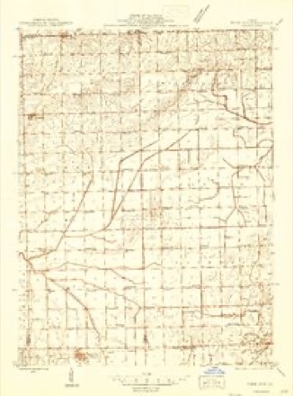
14 topographic sheets cover this place, the earliest surveyed in 1944 and the latest in 1998. It stands in Mona Township. It lies in ZIP code area 60946. The Survey maps it on the Cabery quadrangle. 176 people lived here at the 2020 count. It stands 738 feet above sea level.
Population over time
2 figuresKempton fell from 231 to 176 between 2010 and 2020. These are the recorded population figures Wikidata holds for this place, reached through the Geographic Names Information System number this page is keyed on rather than by name, so they belong to this place and not to another of the same name. Most are census counts, but not all are: an early figure may be a founding or settlement estimate, and an estimate published within five years of a census is left out. The change column is computed, and is left blank where more than 20 years separate a figure from the one before it, because a gap that long is not a change between two counts.
| Year | People | Change |
|---|---|---|
| 2010 | 231 | |
| 2020 | 176 | -55 (-24%) |
Topographic sheets covering this place
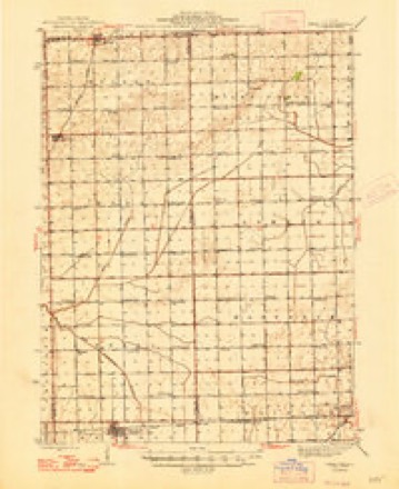
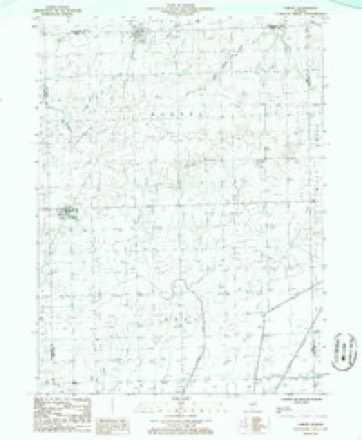
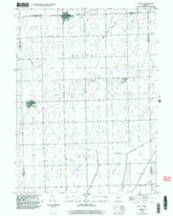
10 surveys from 14 printed sheetsMatched by testing this settlement's coordinate against the published boundary of every sheet in the United States Geological Survey's historical collection. Each opens the scanned sheet at the Survey.
- 1944 USGS Piper City quadrangle1:48000
- 1944 USGS Piper City quadrangle1:62500
- 1947 USGS Piper City quadrangle1:62500
- 1958 USGS Peoria quadrangle1:250000, 4 printings
- 1961 USGS Peoria quadrangle1:250000
- 1963 USGS Peoria quadrangle1:250000
- 1985 USGS Fairbury quadrangle1:100000, 2 printings
- 1986 USGS Cabery quadrangle1:24000
- 1990 USGS Peoria quadrangle1:250000
- 1998 USGS Cabery quadrangle1:24000




In the county-history sources
22,906 words on this townshipHistorical Atlas of Ford County Illinois, published 1884 names this settlement in its chapter on Mona Township. These are the passages that mention it, exactly as the scans read.
In 1881, the society erected a church in Kempton, under the supervision of Rev. Joe Bell, pastor, and A. Stuart, R. F. Bell and James Kemp, Trustees. The new church was dedicated the 28th of April, 1882, by Rev. B. F. Tallman. R. F. Bell was ap¬ pointed the first Superintendent of the Sunday sohool.
Passage source: Historical Atlas of Ford County Illinois, published 1884.
Kempton is the only village in the township, a station on the Kankakee A Southwestern Railroad. It was laid out in 1878, by Wright Kemp. The railroad company called their station Kempton, in honor of Mr. Kemp, who rendered them excellent service in securing the right-of-way for the railroad across the township. The village contains two general stores, one hard¬ ware store, one drug store, one lumber yard, two elevators, and a hotel. The population is about 200. J. W. Brown built the first frame house in the village. J. E. Seyster was the first sta¬ tion agent
Passage source: Historical Atlas of Ford County Illinois, published 1884.
David Keighin is a native of the Isle of Man. He came to Tennessee in 1848, and to this township from Peoria in 1869. He has a fine farm of 480 acres, and a pleasant home on Sec¬ tion 11. In connection with his farm, he, with his son Charles, are engaged in the grain business in Kempton. Mr. Keighin was elected the first Supervisor of Mona, which office he ably filled for seven years. In the community and in all public en¬ terprises he takes a lively interest His warm heart and genial ways have made him an abundance of friends, and by his indus¬ try, honesty and integrity, is justly entitled to the respect of all.
Passage source: Historical Atlas of Ford County Illinois, published 1884.
Machine-read from a century-old scan, so expect the errors a machine makes: misspelled names, dropped words, stray characters.
Read the whole chapter on Mona Township - it names this place 11 more 11 times.
Storms near this place
1 since 2025Regional context, not property-specific evidence. The National Weather Service names Kempton in 1 storm report in 2025: 1 flood. No death or injury is recorded in these reports. Each account below is quoted exactly as the forecast office filed it, from the NOAA Storm Events Database, and each date opens the federal record of that event.
| When | Event | Place named | Harm | What the report says |
|---|---|---|---|---|
| June 2025 | Flood | Kempton | - | Multiple reports were received of minor yard and agricultural flooding near Piper City and Cullom. |
Nearest settlements
The eight closest, with where each one stands in the county. Distances are straight-line, computed from the Geographic Names Information System coordinates.
Elsewhere
Matched on this settlement's Geographic Names Information System number rather than its name, so it cannot be a different place of the same name in another state.
| Wikipedia article on Kempton | An encyclopaedic summary. Its text is share-alike, so it is linked here rather than copied. |
| Wikidata item Q1874137 | The structured record the population and elevation above come from. Public domain (CC0). |
Provenance
This settlement is recorded in the Geographic Names Information System as feature 411391. The sheet list is computed by point-in-boundary test against the United States Geological Survey's historical topographic inventory. Both are works of the United States government and carry no copyright under 17 U.S.C. 105.
Storms. NOAA National Centers for Environmental Information, Storm Events Database https://www.ncei.noaa.gov/stormevents/ A work of the United States government, no copyright under 17 U.S.C. 105. Narratives are quoted verbatim from the National Weather Service report and are not edited or summarised.