 Block
Melvin, Illinois
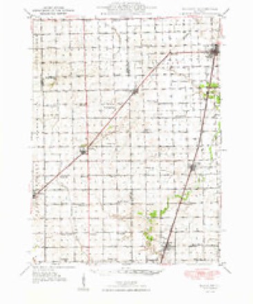
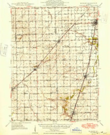
13 topographic sheets cover this place, the earliest surveyed in 1948 and the latest in 1990. It stands in Peach Orchard Township. It lies in ZIP code area 60952. The Survey maps it on the Melvin East quadrangle. 416 people lived here at the 2020 count. It stands 810 feet above sea level.
Population over time
2 figuresMelvin fell from 452 to 416 between 2010 and 2020. These are the recorded population figures Wikidata holds for this place, reached through the Geographic Names Information System number this page is keyed on rather than by name, so they belong to this place and not to another of the same name. Most are census counts, but not all are: an early figure may be a founding or settlement estimate, and an estimate published within five years of a census is left out. The change column is computed, and is left blank where more than 20 years separate a figure from the one before it, because a gap that long is not a change between two counts.
| Year | People | Change |
|---|---|---|
| 2010 | 452 | |
| 2020 | 416 | -36 (-8%) |
Topographic sheets covering this place
8 surveys from 13 printed sheetsMatched by testing this settlement's coordinate against the published boundary of every sheet in the United States Geological Survey's historical collection. Each opens the scanned sheet at the Survey.
- 1948 USGS Buckley quadrangle1:62500
- 1949 USGS Buckley quadrangle1:62500, 2 printings
- 1958 USGS Peoria quadrangle1:250000, 4 printings
- 1961 USGS Peoria quadrangle1:250000
- 1963 USGS Peoria quadrangle1:250000
- 1985 USGS Fairbury quadrangle1:100000, 2 printings
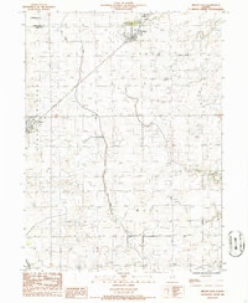
- 1986 USGS Melvin East quadrangle1:24000
- 1990 USGS Peoria quadrangle1:250000




In the county-history sources
3,346 words on this townshipHistorical Atlas of Ford County Illinois, published 1884 names this settlement in its chapter on Peach Orchard Township. These are the passages that mention it, exactly as the scans read.
D. K. Pearson, of Chicago, owned the east tier of sections in this township, and one day in November, 1866, he came down here and sold the entire tier of sections ; the average price paid was $8.50 per acre. Melvin, named afler the President of the Gilman, Clinton & Springfield Railroad, is the only village in the township. It was surveyed and laid out at the request of Enoch Hunt, and includes about sixty* five acres. It is situated on the south half of the northwest quarter of Section 1, and contains a fine school building, four churches, two elevators, one lumber yard, six dry goods and grocery stores, one agricultural ware¬ house, two blacksmith shops, one wagon shop, a drug store, a hardware and furniture store and a hotel.
Passage source: Historical Atlas of Ford County Illinois, published 1884.
William B. Holmes was boro in England in 1820. He em¬ igrated to America in 1849, landing in New York. He came to Fond du Lac County, Wis., where he remained about three years. He then moved to Georgetown, Vermilion Co., Ill., and worked at the carpenter's trade for several years, then moved to what is now Peach Orchard Township in April, 1855, settling on the farm he now owns. He built the firet house, and turned the first furrow in this township. In 1860, the Prince of Wales' suite - Capt. Carter, Hon. C. A. Ellis, now Duke of Rutland, and a
Passage source: Historical Atlas of Ford County Illinois, published 1884.
Thomas D. Thompson was borrf in Belmont County, Ohio, in 1847, where he resided until 1864. He then moved to Illinois, and in 1868 settled in Ford County, and was the first station agent at Melvin. He now is engaged in the grocery and dry goods business and is Postmaster of Melvin. Mr. Thompson has always taken a lively interest in the building-up of the churches and schools of this place.
Passage source: Historical Atlas of Ford County Illinois, published 1884.
Machine-read from a century-old scan, so expect the errors a machine makes: misspelled names, dropped words, stray characters.
Read the whole chapter on Peach Orchard Township - it names this place 11 more 11 times.
Storms near this place
14 since 1998Regional context, not property-specific evidence. The National Weather Service names Melvin in 14 storm reports between 1998 and 2024: 9 thunderstorm wind, 2 hail, 2 tornado, 1 flash flood. No death or injury is recorded in these reports. Each account below is quoted exactly as the forecast office filed it, from the NOAA Storm Events Database, and each date opens the federal record of that event.
| When | Event | Place named | Harm | What the report says |
|---|---|---|---|---|
| March 2006 | Thunderstorm Wind | Melvin | $3,000 | Utility poles and power lines were blown down on Route 59 causing the road to be closed. |
| June 2011 | Thunderstorm Wind | Melvin | $2,000 | Five utility poles were blown down. |
| May 2007 | Thunderstorm Wind | Melvin | $2,000 | Several trees and numerous tree limbs were blown down. An empty, above ground pool was destroyed. |
| July 2024 | Tornado (EFU) | Melvin | - | Video and photos showed a slow moving landspout tornado that developed near County Road E 9000N between N 1200E and N 1300E. It was intermittently in contact with the ground before it dissipated over a field northeast of the intersection of County Roads N 1300E and E 1000N. No damage was reported. |
| June 2024 | Thunderstorm Wind | Melvin | - | Emergency management reported numerous power lines and power poles downed southwest of Melvin. |
| June 2010 | Tornado (EF0) | Melvin | - | A trained spotter witnessed a brief tornado with a debris cloud in an open field near U.S. 52, southwest of Melvin. |
| June 2010 | Flash Flood | Melvin | - | Roads were closed due to water from nearby fields flowing across them. |
| June 2008 | Thunderstorm Wind | Melvin | - | Trees, tree limbs and power lines were blown down across Melvin. |
| July 2005 | Thunderstorm Wind | Melvin | - | A roof was blown off a storage building. Several tree limbs were blown down across the area. |
| April 1998 | Hail | Melvin | - | Strong thunderstorms produced nickel-sized hail. |
| June 1998 | Thunderstorm Wind | Melvin | - | Thunderstorm winds blew down trees in Melvin. |
| July 2003 | Thunderstorm Wind | Melvin | - | no account filed |
| April 2000 | Hail | Melvin | - | no account filed |
| June 1998 | Thunderstorm Wind | Melvin | - | no account filed |
Nearest settlements
The eight closest, with where each one stands in the county. Distances are straight-line, computed from the Geographic Names Information System coordinates.
| Map | Place | Distance | Sheets |
|---|---|---|---|
| Roberts | 4.6 miles | 13 | |
| Guthrie | 5.8 miles | 14 | |
| Sibley | 7.2 miles | 14 | |
| Elliott | 7.2 miles | 14 | |
| Perdueville | 7.9 miles | 16 | |
| Garber | 7.9 miles | 14 | |
| Gibson City | 10.5 miles | 14 | |
| Paxton | 11.0 miles | 16 |
Elsewhere
Matched on this settlement's Geographic Names Information System number rather than its name, so it cannot be a different place of the same name in another state.
| Wikipedia article on Melvin | An encyclopaedic summary. Its text is share-alike, so it is linked here rather than copied. |
| Wikidata item Q2593505 | The structured record the population and elevation above come from. Public domain (CC0). |
Provenance
This settlement is recorded in the Geographic Names Information System as feature 413381. The sheet list is computed by point-in-boundary test against the United States Geological Survey's historical topographic inventory. Both are works of the United States government and carry no copyright under 17 U.S.C. 105.
Storms. NOAA National Centers for Environmental Information, Storm Events Database https://www.ncei.noaa.gov/stormevents/ A work of the United States government, no copyright under 17 U.S.C. 105. Narratives are quoted verbatim from the National Weather Service report and are not edited or summarised.