 Block
Kirkwood, Illinois
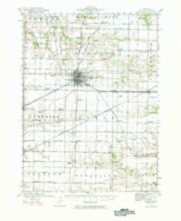
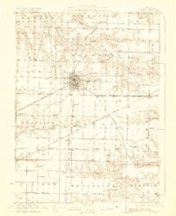
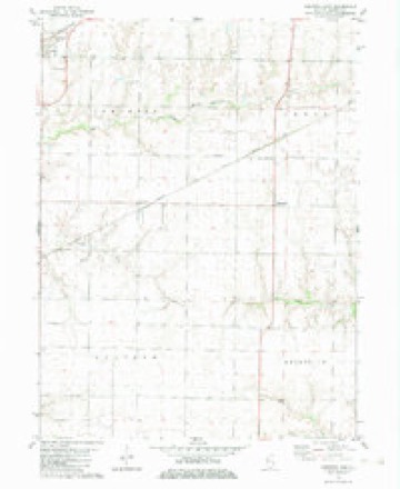
18 topographic sheets cover this place, the earliest surveyed in 1921 and the latest in 1998. It stands in Tompkins Township. It lies in ZIP code area 61447. The Survey maps it on the Kirkwood East quadrangle. 678 people lived here at the 2020 count.
Population over time
2 figuresKirkwood fell from 714 to 678 between 2010 and 2020. These are the recorded population figures Wikidata holds for this place, reached through the Geographic Names Information System number this page is keyed on rather than by name, so they belong to this place and not to another of the same name. Most are census counts, but not all are: an early figure may be a founding or settlement estimate, and an estimate published within five years of a census is left out. The change column is computed, and is left blank where more than 20 years separate a figure from the one before it, because a gap that long is not a change between two counts.
| Year | People | Change |
|---|---|---|
| 2010 | 714 | |
| 2020 | 678 | -36 (-5%) |
Topographic sheets covering this place
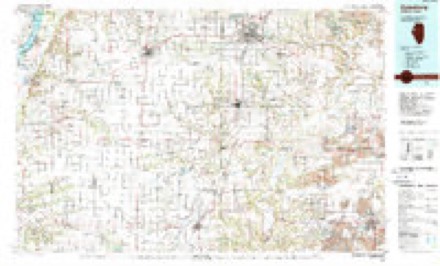
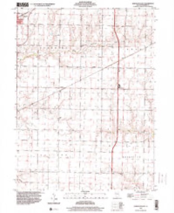
10 surveys from 18 printed sheetsMatched by testing this settlement's coordinate against the published boundary of every sheet in the United States Geological Survey's historical collection. Each opens the scanned sheet at the Survey.
- 1921 USGS Monmouth quadrangle1:62500, 3 printings
- 1923 USGS Monmouth quadrangle1:62500, 2 printings
- 1958 USGS Burlington quadrangle1:250000, 4 printings
- 1961 USGS Burlington quadrangle1:250000
- 1963 USGS Burlington quadrangle1:250000
- 1982 USGS Kirkwood East quadrangle1:24000
- 1985 USGS Galesburg quadrangle1:100000, 2 printings
- 1989 USGS Galesburg quadrangle1:100000
- 1990 USGS Burlington quadrangle1:250000, 2 printings
- 1998 USGS Kirkwood East quadrangle1:24000




In the county-history sources
8,645 words on this townshipPortrait and Biographical Album of Warren County, Illinois : Containing Full Page Portraits and Biographical Sketches of Prominent and Representative Citizens of the County, Together with Portraits and Biographies of All the Governors of Illinois, and of the Presidents of the United States ; Also Containing a History of the County, from Its Earliest Settlement Up to the Present Time, published 1886 names this settlement in its chapter on Tompkins Township. These are the passages that mention it, exactly as the scans read.
Zachariah M. Davis located in the township soon after the Gibsons, and near their farm. They are now living in Nebraska. They had two children, Joann and Martin. Joann married Lew Leslie, and is dead ; Martin is still living.
Samuel Hutchinson came in, in the spring of 1833. He is recently deceased, in Momnouth. In 1835 Joseph and Ransom Tinkham, from New England, with their families, came in and settled in the lower tier of sections, where they lived for many years. Ransom is dead, but his family are living in Kirkwood. Joseph is also living there.
The first church built in the township was at Kirkwood, and the first service held in it was by Rev. Jas. Brace, afterwards of the United Presbyterian Church. Prior to this, religious meetings were held in private houses.
Machine-read from a century-old scan, so expect the errors a machine makes: misspelled names, dropped words, stray characters.
Read the whole chapter on Tompkins Township - it names this place 23 more 23 times.
Fires near this place
2 since 2014Regional context, not property-specific evidence. The federal wildfire occurrence database lists 2 fires within 5 miles of Kirkwood in 2014, burning about 28 acres in total. None started naturally. None was recorded as arson. Distance is straight-line from the map coordinates, so a fire counted here may appear on a neighbouring settlement's page as well.
| Reported cause | Fires |
|---|---|
| Debris and open burning | 2 |
The most recent of them, most recent first, with the day each was reported and the service that recorded it.
| Date | Cause | Size | Reported by | Name on the report |
|---|---|---|---|---|
| 11 April 2014 | Debris and open burning | 12 acres | Illinois Division of Forestry Resources | 2014-244 |
| 11 April 2014 | Debris and open burning | 16 acres | Illinois Division of Forestry Resources | 2014-242 |
Settlements close enough to share some of these fires:
Storms near this place
19 since 2003Regional context, not property-specific evidence. The National Weather Service names Kirkwood in 19 storm reports between 2003 and 2022: 9 thunderstorm wind, 5 hail, 2 flash flood, 1 heavy rain. No death or injury is recorded in these reports. Each account below is quoted exactly as the forecast office filed it, from the NOAA Storm Events Database, and each date opens the federal record of that event.
| When | Event | Place named | Harm | What the report says |
|---|---|---|---|---|
| August 2007 | Thunderstorm Wind | Kirkwood | $250,000 | Straight-line winds estimated to be around 100 mph blew down several large trees, ripped part of a roof off a house, displaced and dented several grain silos, and flattened numerous corn fields between Kirkwood, IL and Monmouth, IL. Some of the trees fell onto houses and other structures (EF Scale rating: EF1). |
| July 2015 | Tornado (EF2) | Kirkwood | $150,000 | An EF2 tornado with maximum wind estimated at 120 MPH touched down 2.6 miles east of Kirkwood, IL. The tornado traveled approximately 1.7 miles and lifted 3.2 miles southwest of Monmouth, IL. The maximum path width was about 300 yards. Along the path, the tornado destroyed a grain bin and a cattle barn at Shauman's Corner about 6.4 miles southwest of Monmouth on US 34. Power poles were also snapped. |
| July 2003 | Thunderstorm Wind | Kirkwood | $50,000 | Trees down on U.S. 34. Power out. |
| August 2004 | Hail | Kirkwood | $4,000 | no account filed |
| March 2006 | Thunderstorm Wind | Kirkwood | $2,000 | limbs down |
| May 2017 | Thunderstorm Wind | Kirkwood | $1,000 | The county emergency manager reported two tall pine trees were uprooted at a residence near the county line. |
| July 2004 | Thunderstorm Wind | Kirkwood | $1,000 | Crops flattened west of town with some 12 inch diameter limbs blocking streets. |
| May 2022 | Thunderstorm Wind | Kirkwood | - | Three inch tree limbs and power poles broken. Report received from MPing. |
| July 2020 | Funnel Cloud | Kirkwood | - | Report of a funnel cloud relayed by emergency management. |
| May 2014 | Hail | Kirkwood | - | Quarter sized hail fell 7 miles west of Monmouth, IL at 421 pm CDT May 11. |
| September 2011 | Hail | Kirkwood | - | Non-severe dime sized hail fell in Kirkwood, IL at 325 pm CDT September 3. |
| June 2010 | Flash Flood | Kirkwood | - | Heavy rains resulted in flash flooding of the Kirkwood Blacktop or Route 135 just to the north of Kirkwood, IL during the evening of June 23. Water was waist-deep in places on South First Street. |
| June 2010 | Thunderstorm Wind | Kirkwood | - | Wind gusts estimated to be 70 mph blew down some 10 inch diameter tree limbs on the north side of Kirkwood, IL at 540 pm June 23. |
| June 2010 | Hail | Kirkwood | - | Nickel sized hail started to cover the ground about 2 miles north of Kirkwood, IL around 1024 pm June 1. |
| June 2010 | Flash Flood | Kirkwood | - | Heavy rains of 3 to 5 inches during the morning hours of June 5 resulted in flash flooding about 5 miles west of Monmouth at the intersection of Route 135 and Route 164. The flood waters were 5 to 6 inches deep. |
| August 2009 | Thunderstorm Wind | Kirkwood | - | Wind gusts estimated to be 55 to 60 mph were observed in Kirkwood, IL around 759 am August 4. |
| June 2008 | Thunderstorm Wind | Kirkwood | - | Winds estimated to be 60 mph blew down some tree limbs in Kirkwood, IL at 9:05 pm June 8. The limbs were 4 to 6 inches in diameter. |
| July 2004 | Heavy Rain | Kirkwood | - | Street flooding |
| June 2010 | Hail | Kirkwood | - | no account filed |
Nearest settlements
The eight closest, with where each one stands in the county. Distances are straight-line, computed from the Geographic Names Information System coordinates.
| Map | Place | Distance | Sheets |
|---|---|---|---|
| Ponemah | 3.9 miles | 18 | |
| Smithshire | 5.3 miles | 17 | |
| Larchland | 6.0 miles | 18 | |
| Monmouth | 6.2 miles | 18 | |
| Ellison (historical) | 6.6 miles | 17 | |
| Ormonde | 7.2 miles | 18 | |
| New Lancaster (historical) | 7.7 miles | 18 | |
| Eleanor | 8.6 miles | 18 |
Elsewhere
Matched on this settlement's Geographic Names Information System number rather than its name, so it cannot be a different place of the same name in another state.
| Wikipedia article on Kirkwood | An encyclopaedic summary. Its text is share-alike, so it is linked here rather than copied. |
| Wikidata item Q478523 | The structured record the population and elevation above come from. Public domain (CC0). |
Provenance
This settlement is recorded in the Geographic Names Information System as feature 411550. The sheet list is computed by point-in-boundary test against the United States Geological Survey's historical topographic inventory. Both are works of the United States government and carry no copyright under 17 U.S.C. 105.
Wildfire. Short, Karen C. 2022. Spatial wildfire occurrence data for the United States, 1992-2020 [FPA_FOD_20221014]. 6th Edition. Fort Collins, CO: Forest Service Research Data Archive. https://doi.org/10.2737/RDS-2013-0009.6 Collected with United States Government funding and usable without additional permissions or fees.
Storms. NOAA National Centers for Environmental Information, Storm Events Database https://www.ncei.noaa.gov/stormevents/ A work of the United States government, no copyright under 17 U.S.C. 105. Narratives are quoted verbatim from the National Weather Service report and are not edited or summarised.