 Block
Ellison, Illinois
17 topographic sheets cover this place, the earliest surveyed in 1934 and the latest in 1990. It stands in Ellison Township. It lies in ZIP code area 61478. The Survey maps it on the Kirkwood West quadrangle. The federal gazetteer marks this settlement historical: it is no longer a populated place, though the surveys that recorded it still are.
Topographic sheets covering this place
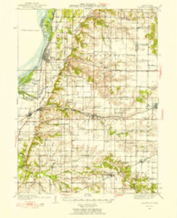
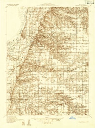
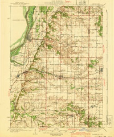
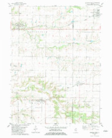
10 surveys from 17 printed sheetsMatched by testing this settlement's coordinate against the published boundary of every sheet in the United States Geological Survey's historical collection. Each opens the scanned sheet at the Survey.
- 1934 USGS Oquawka quadrangle1:62500, 2 printings
- 1934 USGS Oquawka quadrangle1:48000
- 1940 USGS Oquawka quadrangle1:62500, 2 printings
- 1958 USGS Burlington quadrangle1:250000, 4 printings
- 1961 USGS Burlington quadrangle1:250000
- 1963 USGS Burlington quadrangle1:250000
- 1982 USGS Kirkwood West quadrangle1:24000
- 1985 USGS Galesburg quadrangle1:100000, 2 printings
- 1989 USGS Galesburg quadrangle1:100000
- 1990 USGS Burlington quadrangle1:250000, 2 printings




In the county-history sources
1,713 words on this townshipPortrait and Biographical Album of Warren County, Illinois : Containing Full Page Portraits and Biographical Sketches of Prominent and Representative Citizens of the County, Together with Portraits and Biographies of All the Governors of Illinois, and of the Presidents of the United States ; Also Containing a History of the County, from Its Earliest Settlement Up to the Present Time, published 1886 names this settlement in its chapter on Ellison Township. These are the passages that mention it, exactly as the scans read.
Isaac A. Watson and Wm. P. Thompson settled in this township in 1835. Kenner Brent, his wife, Elizabeth, and a large family of children,among whom were Kenner, Jr., David C., Wm P. and Paul, came in March, 1836, locating on section 18. They were from Lancaster Co. Va. Mr. Brent and his wife, Elizabeth, are both dead. Some of their children are still living in the township. Mr. Brent was in the war of 1812, where he distinguished himself for his bravery in several active engagements, Seneca Salsbury and family from Ohio, located in 1836, on section 4. Among those that soon followed these pioneers and settled in the township before 1840, are Mr. Meacham and family, C. Higler and family, Mathew Cox and family, Samuel Baldwin and Jesse Coleman with their families ; also, Mr. Staley ; John and Edward Ray, with their families ; Benton Godfrey, Paul, William and John Birdsell, Daniel Leacock, James Gregory, William Talbot, Decatur Loftus, and family from Tennessee ; William Brown and family from Virginia. Mr. Jarvis was a large, powerful man, and a noted bee-hunter. The early settlers depended upon Field almost entirely to furnish them with honey. Horace Sexton and wife, Hannah, came in and settled in the northwestern part of the township, in the spring of 1840. When they settled, there was but one house between them and Monmouth. They came from Ashtabula Co., Ohio. Horace Sexton died at the old homestead, in Oct., 1877 ; his widow is still living. Seneca Salsbury and wife are both dead, the former but recently. It is said that at the time he erected his dwelling house, it was the finest house in the county. Mr. Salsbury was the first Postmaster in the township.
The first couple to enter into the sacred ties of matrimony were Decatur Loftus and Mary Barrett. Their honey-moon and after life were spent on section 25. The first birth and death are not remembered. This township has not been exempt from the wrathful winds of earth, though it has been shown that it deserved no such affliction. On the 3oth day of May, 1858, towards sunset, the blue sky became overcast with dark, ominous clouds. Soon the roar of the wind was heard in the timber west of Ellison Village. The dreadful sound increased and in a few seconds a tornado with lightning-like speed and destructiveness overshadowed the town. But a few moments and only a few, buildings were left standing, and nearly all of the inhabitants were more or less injured, and many of them killed.
This town is the home of Mrs. Nancy Wilcox, grandmother of the celebrated opera singer, Emma Abbott. A very good story is related about the grandmother. In the fall of 1854 Mrs. Wilcox attended the Methodist Love Feast, in the Methodist Church at Ellison village, which was presided over by the Rev. Richard Haney. During the meeting, or Love Feast, Mrs. Wilcox arose to give her religious experiences. Among other facts related by this lady, was one of the difficulties which beset her before she joined the Church. When she had made up , her mind to number herself with God's people, she addressed her husband, saying: " Isaac, my beloved husband, I have decided to give my heart to God, and to join the Methodist Church." Her husband very energetically replied: " Nancy, I'll be damned if you do!" Mrs. Wilcox, with equal emphasis, replied : " Isaac, I'll be damned if I don't! " Since that day Isaac died the death of the righteous and Mrs. Wilcox is still living, in her good old age, the life of a Christian.
Machine-read from a century-old scan, so expect the errors a machine makes: misspelled names, dropped words, stray characters.
Read the whole chapter on Ellison Township - it names this place 4 more 4 times.
Fires near this place
4 since 2013Regional context, not property-specific evidence. The federal wildfire occurrence database lists 4 fires within 5 miles of Ellison (historical) between 2013 and 2014, burning about 22 acres in total. None started naturally. None was recorded as arson. Distance is straight-line from the map coordinates, so a fire counted here may appear on a neighbouring settlement's page as well.
| Reported cause | Fires |
|---|---|
| Debris and open burning | 4 |
The most recent of them, most recent first, with the day each was reported and the service that recorded it.
| Date | Cause | Size | Reported by | Name on the report |
|---|---|---|---|---|
| 7 May 2014 | Debris and open burning | under an acre | Illinois Division of Forestry Resources | 201437 |
| 13 May 2014 | Debris and open burning | 1.0 acres | Illinois Division of Forestry Resources | 201439 |
| 6 April 2013 | Debris and open burning | 19 acres | Illinois Division of Forestry Resources | 201329 |
| 11 April 2014 | Debris and open burning | 2.0 acres | Illinois Division of Forestry Resources | 201428 |
Settlements close enough to share some of these fires:
Mines and quarries near this place
2 within 5 milesRegional context, not property-specific evidence. The federal mineral resources record lists 2 workings within 5 miles of Ellison (historical): 2 past producers. None of them still produces. What was taken out: Stone, Crushed/Broken. Distance is straight-line from the map coordinates, so a quarry counted here may appear on a neighbouring settlement's page as well.
| Where | Site | Commodity | Status | Recorded |
|---|---|---|---|---|
| Dollar Quarry | Stone, Crushed/Broken | Past Producer | ||
| Media Quarry | Stone, Crushed/Broken | Past Producer |
Nearest settlements
The eight closest, with where each one stands in the county. Distances are straight-line, computed from the Geographic Names Information System coordinates.
| Map | Place | Distance | Sheets |
|---|---|---|---|
| Smithshire | 1.6 miles | 17 | |
| New Lancaster (historical) | 2.3 miles | 18 | |
| Ponemah | 4.8 miles | 18 | |
| Roseville | 6.2 miles | 17 | |
| Kirkwood | 6.6 miles | 18 | |
| Larchland | 7.0 miles | 18 | |
| Swan Creek | 9.4 miles | 17 | |
| Ormonde | 10.1 miles | 18 |
Provenance
This settlement is recorded in the Geographic Names Information System as feature 1823812. The sheet list is computed by point-in-boundary test against the United States Geological Survey's historical topographic inventory. Both are works of the United States government and carry no copyright under 17 U.S.C. 105.
Wildfire. Short, Karen C. 2022. Spatial wildfire occurrence data for the United States, 1992-2020 [FPA_FOD_20221014]. 6th Edition. Fort Collins, CO: Forest Service Research Data Archive. https://doi.org/10.2737/RDS-2013-0009.6 Collected with United States Government funding and usable without additional permissions or fees.
Mines and quarries. USGS Mineral Resources Data System (MRDS) https://mrdata.usgs.gov/mrds/ A work of the United States government, no copyright under 17 U.S.C. 105.