 Block
Libertyville, Illinois
19 topographic sheets cover this place, the earliest surveyed in 1906 and the latest in 1998. It stands in Libertyville Township. It lies in ZIP code area 60048. The Survey maps it on the Libertyville quadrangle. 20,579 people lived here at the 2020 count.
Research this city
On record in Libertyville
Buildings and businesses the archive holds for this place. Each opens its own page, with the source record it came from.
On the National Register 10 records
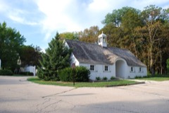 David Adler Estatelisted 1999
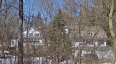 Mrs. Isaac D. Adler Houselisted 2002
 Church of the St. Sava Serbian Orthodox Monasterylisted 1979
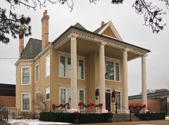 Cook Memorial Librarylisted 2001
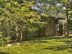 Lloyd Lewis Houselisted 1982
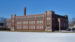 Libertyville High School Brainerd Buildinglisted 2008
 Proctor Buildinglisted 1998
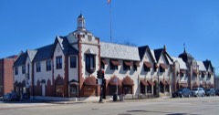 Public Service Buildinglisted 1983
- Libertyville Downtown Historic Districtlisted 2025
- Libertyville Town Halllisted 2022
Population over time
2 figuresLibertyville grew from 20,315 to 20,579 between 2010 and 2020. These are the recorded population figures Wikidata holds for this place, reached through the Geographic Names Information System number this page is keyed on rather than by name, so they belong to this place and not to another of the same name. Most are census counts, but not all are: an early figure may be a founding or settlement estimate, and an estimate published within five years of a census is left out. The change column is computed, and is left blank where more than 20 years separate a figure from the one before it, because a gap that long is not a change between two counts.
| Year | People | Change |
|---|---|---|
| 2010 | 20,315 | |
| 2020 | 20,579 | +264 (+1%) |
Topographic sheets covering this place
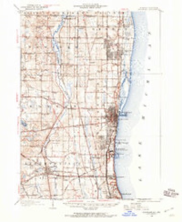
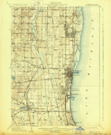
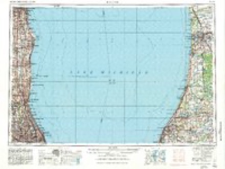
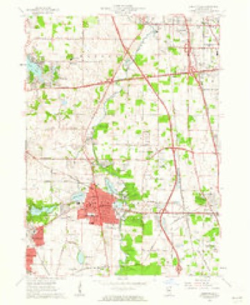
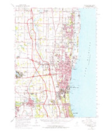
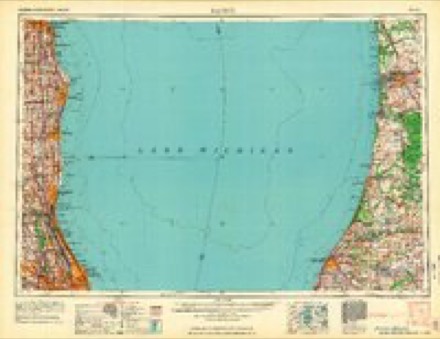
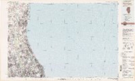
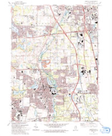
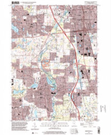
9 surveys from 19 printed sheetsMatched by testing this settlement's coordinate against the published boundary of every sheet in the United States Geological Survey's historical collection. Each opens the scanned sheet at the Survey.
- 1906 USGS Waukegan quadrangle1:62500
- 1908 USGS Waukegan quadrangle1:62500, 5 printings
- 1958 USGS Racine quadrangle1:250000, 3 printings
- 1960 USGS Libertyville quadrangle1:24000, 5 printings
- 1960 USGS Waukegan quadrangle1:62500
- 1962 USGS Racine quadrangle1:250000
- 1980 USGS Waukegan quadrangle1:100000
- 1993 USGS Libertyville quadrangle1:24000
- 1998 USGS Libertyville quadrangle1:24000
In the county-history sources
2,542 words on this townshipThe Past and Present of Lake County, Illinois, published 1877 names this settlement in its chapter on Libertyville Township. These are the passages that mention it, exactly as the scans read.
In this connection, it may be here mentioned that Liberty ville, in the early his¬ tory of the county, has produced more marked men and notable characters than Any other town in this county. Among the number, Tobias Wynkoop, before mentioned, is entitled to a passing notice. He settled in the Fall of 1835, at the point where the Milwaukee road crosses the creek, north of Libertyville, afterward known as Wynkoop'* Creek; He had expansive ideas as to the size of a farm he required. He declared that a quarter-section of land would only answer him for a garden spot. He claimed nearly the entire breadth of prai¬ rie on the west, extending westward about three miles. His boundaries were defined by laying down a single rail around it, in the form of a Virginia fence. When the land sale came, he was unable to purchase the land, and it passed into other hands.
Passage source: The Past and Present of Lake County, Illinois, published 1877.
Horace Butler, who settled at Libertyville in 1837, was the second lawyer who came to the county, but was really the first who practiced his profession. He was a man of ability, and one of the main supporters of the interests of Libertyville in all its early contests. He was a member of the Constitutional Convention of this State in 1847, and was, for one term, a Representative in the Legislature 'from Lake County.
Passage source: The Past and Present of Lake County, Illinois, published 1877.
Dr. J. H. Foster, who likewise settled at Libertyville at an early day (August, 1837), was the first physician who settled and practiced in the county. He was a man of public spirit, of earnest convictions, and among the most tenacious adherents to the cause of Libertyville in its local contests.
Passage source: The Past and Present of Lake County, Illinois, published 1877.
Machine-read from a century-old scan, so expect the errors a machine makes: misspelled names, dropped words, stray characters.
Read the whole chapter on Libertyville Township - it names this place 5 more 5 times.
Fires near this place
15 since 2012Regional context, not property-specific evidence. The federal wildfire occurrence database lists 15 fires within 5 miles of Libertyville between 2012 and 2019, burning about 26 acres in total. None started naturally. None was recorded as arson. Distance is straight-line from the map coordinates, so a fire counted here may appear on a neighbouring settlement's page as well.
| Reported cause | Fires |
|---|---|
| Missing data/not specified/undetermined | 10 |
| Debris and open burning | 3 |
| Power generation/transmission/distribution | 1 |
| Equipment and vehicle use | 1 |
The most recent of them, most recent first, with the day each was reported and the service that recorded it.
| Date | Cause | Size | Reported by | Name on the report |
|---|---|---|---|---|
| 1 September 2018 | Missing data/not specified/undetermined | under an acre | Illinois Division of Forestry Resources | 9118 |
| 1 August 2018 | Missing data/not specified/undetermined | under an acre | Illinois Division of Forestry Resources | 8118 |
| 9 July 2012 | Equipment and vehicle use | under an acre | Illinois Division of Forestry Resources | DEC-79 |
| 8 July 2018 | Missing data/not specified/undetermined | under an acre | Illinois Division of Forestry Resources | 18-2269 |
| 26 June 2012 | Missing data/not specified/undetermined | 1.0 acres | Illinois Division of Forestry Resources | 12-0482 |
| 1 June 2018 | Debris and open burning | under an acre | Illinois Division of Forestry Resources | 60118 |
| 8 May 2018 | Debris and open burning | under an acre | Illinois Division of Forestry Resources | 18-1522 |
| 9 April 2019 | Missing data/not specified/undetermined | 15 acres | Illinois Division of Forestry Resources | 19-971 |
Settlements close enough to share some of these fires:
Mines and quarries near this place
5 within 5 milesRegional context, not property-specific evidence. The federal mineral resources record lists 5 workings within 5 miles of Libertyville: 4 past producers, 1 producer. 1 still produces. What was taken out: Sand and Gravel, Construction, Stone, Stone, Crushed/Broken. Distance is straight-line from the map coordinates, so a quarry counted here may appear on a neighbouring settlement's page as well.
| Where | Site | Commodity | Status | Recorded |
|---|---|---|---|---|
| Mundelein Pit | Stone | Past Producer | ||
| Unamed Limestone Quarry | Stone, Crushed/Broken | Past Producer | ||
| Lake County Pit No. 1 | Sand and Gravel, Construction | Producer | ||
| Lake County Pit No. 2 | Sand and Gravel, Construction | Past Producer | ||
| Peterson Pit | Sand and Gravel, Construction | Past Producer |
Storms near this place
30 since 1996Regional context, not property-specific evidence. The National Weather Service names Libertyville in 30 storm reports between 1996 and 2025: 16 thunderstorm wind, 6 hail, 4 flood, 3 heavy rain. No death or injury is recorded in these reports. Each account below is quoted exactly as the forecast office filed it, from the NOAA Storm Events Database, and each date opens the federal record of that event.
| When | Event | Place named | Harm | What the report says |
|---|---|---|---|---|
| September 2000 | Lightning | Libertyville | $25,000 | Several lightning strikes reported throughout the city, with only one fire reported. |
| July 2011 | Thunderstorm Wind | Libertyville | $10,000 | Telephone lines were blown down along with large trees in Prairie View. A roof was blown off. |
| June 2025 | Thunderstorm Wind | Libertyville | - | A microburst impacted portions of Libertyville. A large tree fell onto a townhouse on Country Club Dr, rendering it uninhabitable, and power poles were downed near Liberty Lake. Tree damage was also noted in the same general area. |
| February 2024 | Thunderstorm Wind | Libertyville | - | A photo shared via social media showed fence panels blown over in Libertyville. Time was estimated using radar. |
| June 2024 | Heavy Rain | Libertyville | - | Mesonet station FW4338 recorded 5.33 of rain. |
| June 2024 | Heavy Rain | Libertyville | - | Storm total rainfall of 6.86 was recorded in Libertyville. |
| July 2023 | Thunderstorm Wind | Libertyville | - | Multiple trees between 8 and 12 inches in diameter were reported down off of Lake Street in Libertyville. |
| August 2021 | Thunderstorm Wind | Libertyville | - | Multiple large tree limbs were blown down. |
| September 2021 | Thunderstorm Wind | Libertyville | - | Tree limbs were blown down. |
| May 2020 | Flood | Libertyville | - | Appley Avenue was flooded near Oak Spring Road. |
| July 2020 | Thunderstorm Wind | Libertyville | - | Wind gusts were estimated to 60 mph and 2 inch diameter tree limbs were blown down. |
| June 2018 | Flood | Libertyville | - | Numerous local roads had several inches of standing flood water along with some flowing water. Rainfall of 0.56 inches occurred in a ten minute period from 403 pm CST to 413 pm CST. |
| September 2014 | Thunderstorm Wind | Libertyville | - | A large tree was blown down onto Butterfield Road just north of IL-176. |
| June 2011 | Thunderstorm Wind | Libertyville | - | Wind gusts were estimated to 60 mph. |
| July 2011 | Thunderstorm Wind | Libertyville | - | A portion of a roof was peeled off by strong winds on Church Street. |
| March 2007 | Flood | Libertyville | - | Eight to twelve inches of standing water reported on Route 176, 1/8 mile west of St. Mary's Road. Six inches of standing water on Bradley Road at Interstate 94. |
| July 2006 | Flood | Libertyville | - | One foot of standing water reported at Route 21 and Maple Avenue. |
| July 2006 | Thunderstorm Wind | Libertyville | - | Two medium sized trees blown down and several tree limbs blown down. |
| July 2005 | Thunderstorm Wind | Libertyville | - | Trees and power lines were blown down. |
| May 2004 | Thunderstorm Wind | Libertyville | - | Trees were blown down near Milwaukee and Peterson Roads and north along Route 21. |
| April 2017 | Hail | Libertyville | - | no account filed |
| March 2011 | Hail | Libertyville | - | no account filed |
| April 2007 | Hail | Libertyville | - | no account filed |
| May 2003 | Heavy Rain | Libertyville | - | no account filed |
| July 2003 | Thunderstorm Wind | Libertyville | - | no account filed |
| May 2000 | Hail | Libertyville | - | no account filed |
| May 2000 | Hail | Libertyville | - | no account filed |
| May 1998 | Hail | Libertyville | - | no account filed |
| September 1996 | Thunderstorm Wind | Libertyville | - | no account filed |
| April 1996 | Thunderstorm Wind | Libertyville | - | no account filed |
Nearest settlements
The eight closest, with where each one stands in the county. Distances are straight-line, computed from the Geographic Names Information System coordinates.
| Map | Place | Distance | Sheets |
|---|---|---|---|
| Bushs Corners | 1.8 miles | 19 | |
| Oak Grove | 2.1 miles | 19 | |
| Rockefeller | 2.6 miles | 19 | |
| Green Oaks | 2.7 miles | 19 | |
| Leithton | 2.9 miles | 23 | |
| Mundelein | 3.0 miles | 21 | |
| Rondout | 3.1 miles | 19 | |
| Moran Corners | 3.5 miles | 19 |
Elsewhere
Matched on this settlement's Geographic Names Information System number rather than its name, so it cannot be a different place of the same name in another state.
| Wikipedia article on Libertyville | An encyclopaedic summary. Its text is share-alike, so it is linked here rather than copied. |
| Wikidata item Q1787181 | The structured record the population and elevation above come from. Public domain (CC0). |
Provenance
This settlement is recorded in the Geographic Names Information System as feature 412036. The sheet list is computed by point-in-boundary test against the United States Geological Survey's historical topographic inventory. Both are works of the United States government and carry no copyright under 17 U.S.C. 105.
Wildfire. Short, Karen C. 2022. Spatial wildfire occurrence data for the United States, 1992-2020 [FPA_FOD_20221014]. 6th Edition. Fort Collins, CO: Forest Service Research Data Archive. https://doi.org/10.2737/RDS-2013-0009.6 Collected with United States Government funding and usable without additional permissions or fees.
Mines and quarries. USGS Mineral Resources Data System (MRDS) https://mrdata.usgs.gov/mrds/ A work of the United States government, no copyright under 17 U.S.C. 105.
Storms. NOAA National Centers for Environmental Information, Storm Events Database https://www.ncei.noaa.gov/stormevents/ A work of the United States government, no copyright under 17 U.S.C. 105. Narratives are quoted verbatim from the National Weather Service report and are not edited or summarised.