 Block
Lightsville, Illinois
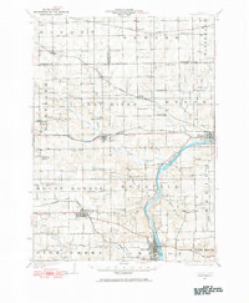
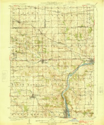
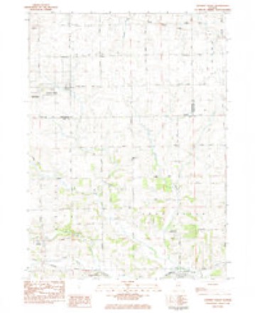
14 topographic sheets cover this place, the earliest surveyed in 1922 and the latest in 1983. It stands in Leaf River Township. It lies in ZIP code area 61047. It stands on Otter Creek. The Survey maps it on the German Valley quadrangle.
Topographic sheets covering this place
8 surveys from 14 printed sheetsMatched by testing this settlement's coordinate against the published boundary of every sheet in the United States Geological Survey's historical collection. Each opens the scanned sheet at the Survey.
- 1922 USGS Oregon quadrangle1:62500
- 1924 USGS Oregon quadrangle1:62500, 3 printings
- 1954 USGS Rockford quadrangle1:250000
- 1955 USGS Rockford quadrangle1:250000
- 1958 USGS Rockford quadrangle1:250000, 4 printings
- 1963 USGS Rockford quadrangle1:250000
- 1981 USGS Rockford quadrangle1:100000, 2 printings
- 1983 USGS German Valley quadrangle1:24000





What happened here
An account from the chapter on Leaf River township. The inset identifies its exact source book and publication year.
Swartout Miraxda
SWARTOUT MIRAXDA R. Tenant Farmer ; Sec. 8 ; P. 0. Rockvale ; Mr. S. was born March 18, 1813, in Dutchess Co., N. Y.; was married June 2, 1843 to Lydia M., daughter of John Lewis, of Saratoga Co., N. Y.; Mrs. S. was born April 21, 1827; in January, 1854, Mr. S. came to Ole Co., and lived here until 1858, when he moved to Minnesota and resided there until October, 1874, when he returned to Ogle County and settled in Rockvale, where he now resides ; on the 6th of October, 1862, he enlisted in the 1st Regiment of Minnesota Mounted Rangers, which was formed for service on the 'frontier against the Sioux Indians, who perpetrated the well-remembered Minnesota Massacre ; Mr.
In the county-history sources
15,394 words on this townshipThe History of Ogle County, Illinois, Containing a History of the County, Its Cities, Towns, Etc., a Biographical Directory of Its Citizens, War Record of Its Volunteers in the Late Rebellion, General and Local Statistics ... History of the Northwest, History of Illinois ... Etc, published 1878 names this settlement in its chapter on Leaf River Township. These are the passages that mention it, exactly as the scans read.
Kl^ODIiE WESLEY, Tenant Farmer; Sec. 17; P. 0. Wales; was born Oct 17, 1837, in Preble Co., Ohio ; his parents moved to Ogle Co. in 1840, where he lived until he enlisted in the War of the Rebellion, Aug. 13, 1862, in the 74th I. V. I. ; he was engaged in the battles of Perryville, Knob Gap, Stone River, Mission Ridge, Resaca, Lookout Mountain, Kenesaw Mountain, Peach Tree Creek, Franklin, Tenn., and in all of the engagements that his regiment participated in, altogether about twenty-eight hard-fought battles ; he was twice slightly wounded, and was mustered out June 10, 1865, at Nashville, Tenn.; he then returned to Ogle Co., and was married, March 23, 1870, to Ellen E., daughter of Daniel Pofienbarger, of this township ; she was born Dec. 13, 1849 ; they have four children - Charles W., Mary
Passage source: The History of Ogle County, Illinois, Containing a History of the County, Its Cities, Towns, Etc., a Biographical Directory of Its Citizens, War Record of Its Volunteers in the Late Rebellion, General and Local Statistics ... History of the Northwest, History of Illinois ... Etc, published 1878.
Machine-read from a century-old scan, so expect the errors a machine makes: misspelled names, dropped words, stray characters.
Read the whole chapter on Leaf River Township - it names this place 4 more 4 times.
Fires near this place
3 since 2003Regional context, not property-specific evidence. The federal wildfire occurrence database lists 3 fires within 5 miles of Lightsville between 2003 and 2019, burning about 5 acres in total. None started naturally. None was recorded as arson. Distance is straight-line from the map coordinates, so a fire counted here may appear on a neighbouring settlement's page as well.
| Reported cause | Fires |
|---|---|
| Missing data/not specified/undetermined | 3 |
The most recent of them, most recent first, with the day each was reported and the service that recorded it.
| Date | Cause | Size | Reported by | Name on the report |
|---|---|---|---|---|
| 19 July 2003 | Missing data/not specified/undetermined | under an acre | Illinois State Fire Marshal's Office | not named |
| 18 March 2019 | Missing data/not specified/undetermined | 2.0 acres | Illinois Division of Forestry Resources | 1900028 |
| 13 March 2012 | Missing data/not specified/undetermined | 3.0 acres | Illinois Division of Forestry Resources | HORST |
Settlements close enough to share some of these fires:
Mines and quarries near this place
10 of 14 shownRegional context, not property-specific evidence. The federal mineral resources record lists 14 workings within 5 miles of Lightsville: 13 past producers, 1 plant. 1 still produces. What was taken out: Stone, Crushed/Broken, Sand and Gravel, Construction. Distance is straight-line from the map coordinates, so a quarry counted here may appear on a neighbouring settlement's page as well.
| Where | Site | Commodity | Status | Recorded |
|---|---|---|---|---|
| Sheely Pit & Mill | Sand and Gravel, Construction | Plant | ||
| A. Hoover Quarry | Stone, Crushed/Broken | Past Producer | ||
| A. Right Quarry | Stone, Crushed/Broken | Past Producer | ||
| Denekas Quarry | Stone, Crushed/Broken | Past Producer | ||
| Freeze Property Quarry | Stone, Crushed/Broken | Past Producer | ||
| J. Horst Quarry | Stone, Crushed/Broken | Past Producer | ||
| Kruse Quarry | Stone, Crushed/Broken | Past Producer | ||
| Stukenberg Property Quarry | Stone, Crushed/Broken | Past Producer | ||
| Unnamed Limestone Quarry | Stone, Crushed/Broken | Past Producer | ||
| Unnamed Limestone Quarry | Stone, Crushed/Broken | Past Producer |
Nearest settlements
The eight closest, with where each one stands in the county. Distances are straight-line, computed from the Geographic Names Information System coordinates.
| Map | Place | Distance | Sheets |
|---|---|---|---|
| Leaf River | 1.5 miles | 14 | |
| Egan | 2.9 miles | 14 | |
| Myrtle | 2.9 miles | 14 | |
| Adeline | 4.6 miles | 14 | |
| Mount Morris | 6.8 miles | 14 | |
| Byron Hills Estates | 7.1 miles | 14 | |
| Byron | 8.0 miles | 14 | |
| Forreston | 9.4 miles | 14 |
Provenance
This settlement is recorded in the Geographic Names Information System as feature 412077. The sheet list is computed by point-in-boundary test against the United States Geological Survey's historical topographic inventory. Both are works of the United States government and carry no copyright under 17 U.S.C. 105.
Wildfire. Short, Karen C. 2022. Spatial wildfire occurrence data for the United States, 1992-2020 [FPA_FOD_20221014]. 6th Edition. Fort Collins, CO: Forest Service Research Data Archive. https://doi.org/10.2737/RDS-2013-0009.6 Collected with United States Government funding and usable without additional permissions or fees.
Mines and quarries. USGS Mineral Resources Data System (MRDS) https://mrdata.usgs.gov/mrds/ A work of the United States government, no copyright under 17 U.S.C. 105.