 Block
Liverpool, Illinois
19 topographic sheets cover this place, the earliest surveyed in 1925 and the latest in 1990. It stands in Liverpool Township. It lies in ZIP code area 61543. It stands on Buckheart Creek. The Survey maps it on the Saint David quadrangle. 94 people lived here at the 2020 count. It stands 445 feet above sea level.
Population over time
2 figuresLiverpool fell from 129 to 94 between 2010 and 2020. These are the recorded population figures Wikidata holds for this place, reached through the Geographic Names Information System number this page is keyed on rather than by name, so they belong to this place and not to another of the same name. Most are census counts, but not all are: an early figure may be a founding or settlement estimate, and an estimate published within five years of a census is left out. The change column is computed, and is left blank where more than 20 years separate a figure from the one before it, because a gap that long is not a change between two counts.
| Year | People | Change |
|---|---|---|
| 2010 | 129 | |
| 2020 | 94 | -35 (-27%) |
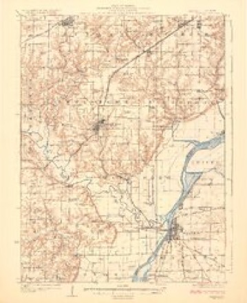
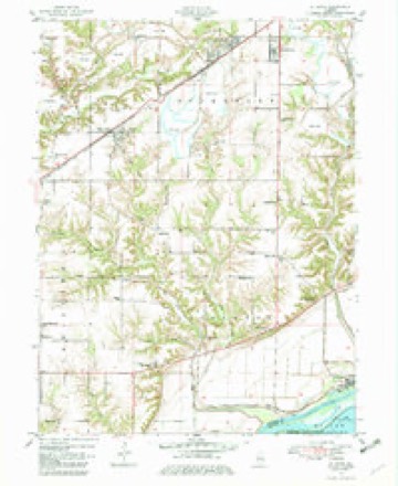
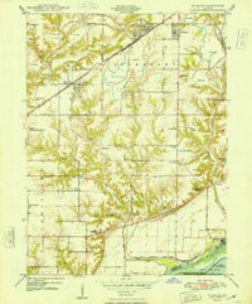
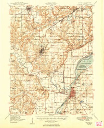
Topographic sheets covering this place
10 surveys from 19 printed sheetsMatched by testing this settlement's coordinate against the published boundary of every sheet in the United States Geological Survey's historical collection. Each opens the scanned sheet at the Survey.
- 1925 USGS Havana quadrangle1:62500, 3 printings
- 1947 USGS St. David quadrangle1:24000
- 1948 USGS St. David quadrangle1:24000, 2 printings
- 1949 USGS Havana quadrangle1:62500, 3 printings
- 1958 USGS Burlington quadrangle1:250000, 4 printings
- 1961 USGS Burlington quadrangle1:250000
- 1963 USGS Burlington quadrangle1:250000
- 1985 USGS Macomb quadrangle1:100000
- 1989 USGS Macomb quadrangle1:100000
- 1990 USGS Burlington quadrangle1:250000, 2 printings




What happened here
An account from the chapter on Liverpool township. The inset identifies its exact source book and publication year.
The Horror Of 1849
The most cah\mitous period in the history of Liverpool township, or indeed of the eutire county, was the dreaded and fearful visitation of the Asiatic cholera in the year 1849. Homes were entered by the dark monster of death and loved ones carried off without a word of warning. Families were broken up and divided.
In the county-history sources
10,091 words on this townshipHistory of Fulton County, Illinois;, published 1879 names this settlement in its chapter on Liverpool Township. These are the passages that mention it, exactly as the scans read.
This is the largest township in Fulton Co. It contains an area of 26,258 acres, 10,794 of which are improved. The first settlers of the township, who came as early as 1826, were Chas. Deprest, Joseph Allen and his wife, who was a daugliter of Squire Willcoxen, John Farris and family, Francis Smith and family, and Seth Hilton and family. The first death to occur in the township was that of a son of Asa Smith and a grandson of Francis Smith. About the first marriage, if not the first, took place at the residence of Elijah Willcoxen in 1831. The contracting parties were Zerilda, his daughter, and Moses Johnson. The widow of Joseph Allen married Benj. F. Roebuck. She is still living in Liverpool township, upon sec. 11, and is 79 years of age. She tells quite an amusing incident illustrating how easily the people were frightened by the report of Indians in the neighborhood on a raid. Some of the neighbor children came running to the house one day and said the Indians had killed their father. Her husband and other neighbors immediately took their guns and went in search of the red-skins, determined upon having revenge. The cause of the scare soon became known. A German family recently came into the neighborhood, and most of the members of the family had black eyes and wore their hair long, which also was black. The children had seen some of them in the corn-field gathering corn and mistook them for Indians, and hence the scare.
Passage source: History of Fulton County, Illinois;, published 1879.
The most cah\mitous period in the history of Liverpool township, or indeed of the eutire county, was the dreaded and fearful visitation of the Asiatic cholera in the year 1849. Homes were entered by the dark monster of death and loved ones carried off without a word of warning. Families were broken up and divided. Fathers, mothers, brothers, sisters and children were taken with the fatal disease and ere a day had elapsed were a corpse.
Passage source: History of Fulton County, Illinois;, published 1879.
July 3, 1849, Esq. Robert Summers, of that neighborhood, happened to be in the village of Liverpool on the Illinois river. A steamboat lay at the landing. Hearing that a man was dying of cholera on the boat, it is said that Es(j. Summers gave way to sympathy or curiosity and went to see him. He returned to his home, was two days afterward taken sick with what appeared to be dysentery, and died on the lOth. Job Mncklin undertook to make him a nice cherry coffin, but got it eight inches too short! He was compelled to make another, and thus the corpse was left uuburied two days. This was a fatal blunder, as the secjuel will show. Esq. Jordon Prichard, father of ex-Sheriff Robert Prichard, hastened at once to the bed-side of his friend and neighbor, Es(}. Summers, and remained with him until his death. Es(|. Prichard and Mrs. Summers were taken ill on the 12th. Mr. P. died on the loth. Ahijah Arnett made a very neat coffin for him and he was buried on the 14th. Mrs. Summers died on the 16th. The neighborhood was now panic-stricken. Tiirec of the Summers children were taken with cholera on the 18th and died the same day.
Passage source: History of Fulton County, Illinois;, published 1879.
Machine-read from a century-old scan, so expect the errors a machine makes: misspelled names, dropped words, stray characters.
Read the whole chapter on Liverpool Township - it names this place 18 more 18 times.
Fires near this place
4 since 2017Regional context, not property-specific evidence. The federal wildfire occurrence database lists 4 fires within 5 miles of Liverpool between 2017 and 2019, burning about 1 acre in total. None started naturally. None was recorded as arson. Distance is straight-line from the map coordinates, so a fire counted here may appear on a neighbouring settlement's page as well.
| Reported cause | Fires |
|---|---|
| Debris and open burning | 2 |
| Missing data/not specified/undetermined | 2 |
The most recent of them, most recent first, with the day each was reported and the service that recorded it.
| Date | Cause | Size | Reported by | Name on the report |
|---|---|---|---|---|
| 20 June 2017 | Debris and open burning | under an acre | Illinois Division of Forestry Resources | 1181710 |
| 20 June 2017 | Debris and open burning | under an acre | Illinois Division of Forestry Resources | 1181710 |
| 17 April 2019 | Missing data/not specified/undetermined | under an acre | Chautauqua National Wildlife Refuge | FIRE 2 |
| 15 April 2019 | Missing data/not specified/undetermined | under an acre | Chautauqua National Wildlife Refuge | STUMP FIRE |
Settlements close enough to share some of these fires:
Mines and quarries near this place
2 within 5 milesRegional context, not property-specific evidence. The federal mineral resources record lists 2 workings within 5 miles of Liverpool: 2 past producers. None of them still produces. What was taken out: Sand and Gravel, Construction, Clay. Distance is straight-line from the map coordinates, so a quarry counted here may appear on a neighbouring settlement's page as well.
| Where | Site | Commodity | Status | Recorded |
|---|---|---|---|---|
| Duck Island Pit | Sand and Gravel, Construction | Past Producer | ||
| Pine Ridge Coal Co. Clay Shale Pit | Clay | Past Producer |
Storms near this place
1 since 2019Regional context, not property-specific evidence. The National Weather Service names Liverpool in 1 storm report in 2019: 1 thunderstorm wind. No death or injury is recorded in these reports. Each account below is quoted exactly as the forecast office filed it, from the NOAA Storm Events Database, and each date opens the federal record of that event.
| When | Event | Place named | Harm | What the report says |
|---|---|---|---|---|
| September 2019 | Thunderstorm Wind | Liverpool | - | Significant wind damage occurred to crops on US 24 and Old Weaver Road. |
Nearest settlements
The eight closest, with where each one stands in the county. Distances are straight-line, computed from the Geographic Names Information System coordinates.
| Map | Place | Distance | Sheets |
|---|---|---|---|
| Little America | 2.0 miles | 19 | |
| Maples Mill | 3.0 miles | 19 | |
| Keeler (historical) | 3.4 miles | 19 | |
| Bryant | 7.0 miles | 19 | |
| Dunfermline | 7.1 miles | 19 | |
| Sepo | 7.1 miles | 19 | |
| Saint David | 7.5 miles | 19 | |
| Waterford (historical) | 7.7 miles | 19 |
Elsewhere
Matched on this settlement's Geographic Names Information System number rather than its name, so it cannot be a different place of the same name in another state.
| Wikipedia article on Liverpool | An encyclopaedic summary. Its text is share-alike, so it is linked here rather than copied. |
| Wikidata item Q2508102 | The structured record the population and elevation above come from. Public domain (CC0). |
Provenance
This settlement is recorded in the Geographic Names Information System as feature 412450. The sheet list is computed by point-in-boundary test against the United States Geological Survey's historical topographic inventory. Both are works of the United States government and carry no copyright under 17 U.S.C. 105.
Wildfire. Short, Karen C. 2022. Spatial wildfire occurrence data for the United States, 1992-2020 [FPA_FOD_20221014]. 6th Edition. Fort Collins, CO: Forest Service Research Data Archive. https://doi.org/10.2737/RDS-2013-0009.6 Collected with United States Government funding and usable without additional permissions or fees.
Mines and quarries. USGS Mineral Resources Data System (MRDS) https://mrdata.usgs.gov/mrds/ A work of the United States government, no copyright under 17 U.S.C. 105.
Storms. NOAA National Centers for Environmental Information, Storm Events Database https://www.ncei.noaa.gov/stormevents/ A work of the United States government, no copyright under 17 U.S.C. 105. Narratives are quoted verbatim from the National Weather Service report and are not edited or summarised.