 Block
Keeler, Illinois
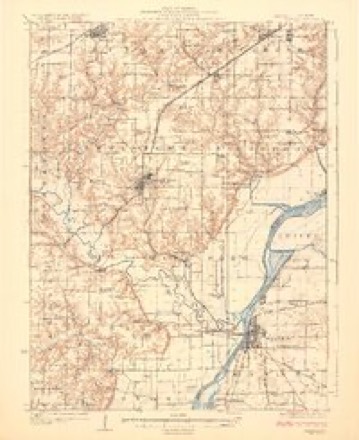
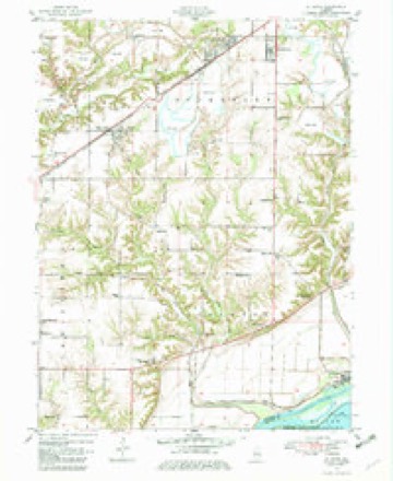
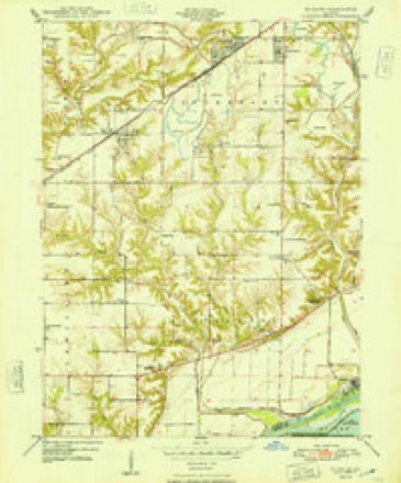
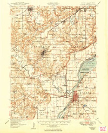
19 topographic sheets cover this place, the earliest surveyed in 1925 and the latest in 1990. It stands in Liverpool Township. It lies in ZIP code area 61542. It stands on Coal Creek. The Survey maps it on the Saint David quadrangle. The federal gazetteer marks this settlement historical: it is no longer a populated place, though the surveys that recorded it still are.
Topographic sheets covering this place
10 surveys from 19 printed sheetsMatched by testing this settlement's coordinate against the published boundary of every sheet in the United States Geological Survey's historical collection. Each opens the scanned sheet at the Survey.
- 1925 USGS Havana quadrangle1:62500, 3 printings
- 1947 USGS St. David quadrangle1:24000
- 1948 USGS St. David quadrangle1:24000, 2 printings
- 1949 USGS Havana quadrangle1:62500, 3 printings
- 1958 USGS Burlington quadrangle1:250000, 4 printings
- 1961 USGS Burlington quadrangle1:250000
- 1963 USGS Burlington quadrangle1:250000
- 1985 USGS Macomb quadrangle1:100000
- 1989 USGS Macomb quadrangle1:100000
- 1990 USGS Burlington quadrangle1:250000, 2 printings




What happened here
An account from the chapter on Liverpool township. The inset identifies its exact source book and publication year.
The Horror Of 1849
The most cah\mitous period in the history of Liverpool township, or indeed of the eutire county, was the dreaded and fearful visitation of the Asiatic cholera in the year 1849. Homes were entered by the dark monster of death and loved ones carried off without a word of warning. Families were broken up and divided.
In the county-history sources
10,091 words on this townshipHistory of Fulton County, Illinois;, published 1879 names this settlement in its chapter on Liverpool Township. These are the passages that mention it, exactly as the scans read.
John G. Ackerson was born Feb. 15, 1831, in Lewistown tp., son of Abram and Eleanor (Kent), the first a native of N. Y., and the latter a native of Ohio, who came to this county about 1828, settling in Lewistown tp, John G. enlisted in the 85th I. V. I., Co. B., in Aug., 18G2 ; at the end of ten months he was honorably discharged on account of sickness ; he was 4th Sergeant; was in the battle of Perryville, etc., but was never wounded. Mr. A., about 1856, married Miss Sarah, daughter of BenJ. Keeler, and has had two children, only I^aura B. living now. Mr. A.'s second marriage was in Cowley Co., Kan., June, 1870, to May Walworth, daughter of Noah Walworth, formerly of New York. Mr. A. is now living on sec. 32.
Passage source: History of Fulton County, Illinois;, published 1879.
Tijfin R.'Xott is a native of Ohio, and was born in Washington county, Jnly 1, 1833; parents. Steward M. and Pluobe (Kent) Nott; they came to this county April 27, I80O, and settled on sec. 31, where they lived till their death. Mrs. N. died in Dec, 1867, and Mr. N. in' Feb., 1868. Mr. N. was a very strong Democrat in politics and served the townshij) in some official ])osition about all the time; was J. P. for 8 years, but never tried a case, inducing parties to come to an amicable settlement rather than to spend their time and money in law contests. T. R. is now serving as J. P. In '57, Dec. 27, iie married Elizabeth V. Keeler. daughter of Bcnj. and ^Farv A. (Ackerman) Keeler, and was born June 27, 1842. Their children are Mary C, Chas. A., Cora L. E., deceased, and Thomas C. They reside on sec, 20, on land entered by Benj. Keeler 43 years ago. Upon this land are many Indian mounds, where relics have been ]>lowed up, among which are sea-shells, with notches cut, eviently to hang in the ears, as ornaments ; also birds
Passage source: History of Fulton County, Illinois;, published 1879.
Machine-read from a century-old scan, so expect the errors a machine makes: misspelled names, dropped words, stray characters.
Fires near this place
5 since 2004Regional context, not property-specific evidence. The federal wildfire occurrence database lists 5 fires within 5 miles of Keeler (historical) between 2004 and 2019, burning about 29 acres in total. None started naturally. None was recorded as arson. Distance is straight-line from the map coordinates, so a fire counted here may appear on a neighbouring settlement's page as well.
| Reported cause | Fires |
|---|---|
| Missing data/not specified/undetermined | 3 |
| Recreation and ceremony | 2 |
The most recent of them, most recent first, with the day each was reported and the service that recorded it.
| Date | Cause | Size | Reported by | Name on the report |
|---|---|---|---|---|
| 4 April 2004 | Missing data/not specified/undetermined | 28 acres | Illinois River National Wildlife Refuge | KNOTT FIRE 4-5-04 |
| 17 April 2019 | Missing data/not specified/undetermined | under an acre | Chautauqua National Wildlife Refuge | FIRE 2 |
| 15 April 2019 | Missing data/not specified/undetermined | under an acre | Chautauqua National Wildlife Refuge | STUMP FIRE |
| 25 January 2004 | Recreation and ceremony | under an acre | Illinois River National Wildlife Refuge | GUDAT 1 |
| 25 January 2004 | Recreation and ceremony | under an acre | Illinois River National Wildlife Refuge | GUDAT 2 |
Settlements close enough to share some of these fires:
Mines and quarries near this place
1 within 5 milesRegional context, not property-specific evidence. The federal mineral resources record lists 1 working within 5 miles of Keeler (historical): 1 past producer. None of them still produces. What was taken out: Clay. Distance is straight-line from the map coordinates, so a quarry counted here may appear on a neighbouring settlement's page as well.
| Where | Site | Commodity | Status | Recorded |
|---|---|---|---|---|
| Pine Ridge Coal Co. Clay Shale Pit | Clay | Past Producer |
Nearest settlements
The eight closest, with where each one stands in the county. Distances are straight-line, computed from the Geographic Names Information System coordinates.
| Map | Place | Distance | Sheets |
|---|---|---|---|
| Little America | 1.7 miles | 19 | |
| Maples Mill | 2.8 miles | 19 | |
| Liverpool | 3.4 miles | 19 | |
| Sepo | 4.7 miles | 19 | |
| Lewistown | 4.8 miles | 19 | |
| Bryant | 5.0 miles | 19 | |
| Waterford (historical) | 5.3 miles | 19 | |
| Saint David | 6.7 miles | 19 |
Provenance
This settlement is recorded in the Geographic Names Information System as feature 1802129. The sheet list is computed by point-in-boundary test against the United States Geological Survey's historical topographic inventory. Both are works of the United States government and carry no copyright under 17 U.S.C. 105.
Wildfire. Short, Karen C. 2022. Spatial wildfire occurrence data for the United States, 1992-2020 [FPA_FOD_20221014]. 6th Edition. Fort Collins, CO: Forest Service Research Data Archive. https://doi.org/10.2737/RDS-2013-0009.6 Collected with United States Government funding and usable without additional permissions or fees.
Mines and quarries. USGS Mineral Resources Data System (MRDS) https://mrdata.usgs.gov/mrds/ A work of the United States government, no copyright under 17 U.S.C. 105.