 Block
Bryant, Illinois
19 topographic sheets cover this place, the earliest surveyed in 1925 and the latest in 1990. It stands in Buckheart Township. It lies in ZIP code area 61519. It stands on Evelen Branch. The Survey maps it on the Saint David quadrangle. 168 people lived here at the 2020 count. It stands 610 feet above sea level.
Population over time
2 figuresBryant fell from 220 to 168 between 2010 and 2020. These are the recorded population figures Wikidata holds for this place, reached through the Geographic Names Information System number this page is keyed on rather than by name, so they belong to this place and not to another of the same name. Most are census counts, but not all are: an early figure may be a founding or settlement estimate, and an estimate published within five years of a census is left out. The change column is computed, and is left blank where more than 20 years separate a figure from the one before it, because a gap that long is not a change between two counts.
| Year | People | Change |
|---|---|---|
| 2010 | 220 | |
| 2020 | 168 | -52 (-24%) |
Topographic sheets covering this place
10 surveys from 19 printed sheetsMatched by testing this settlement's coordinate against the published boundary of every sheet in the United States Geological Survey's historical collection. Each opens the scanned sheet at the Survey.
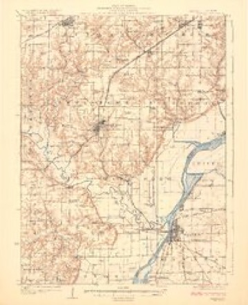
- 1925 USGS Havana quadrangle1:62500, 3 printings
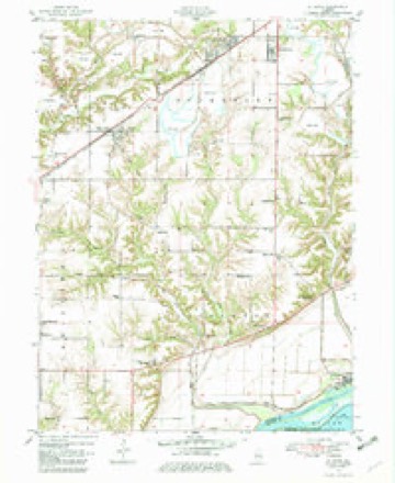
- 1947 USGS St. David quadrangle1:24000
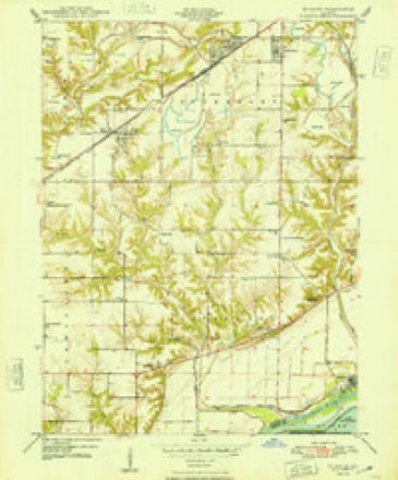
- 1948 USGS St. David quadrangle1:24000, 2 printings
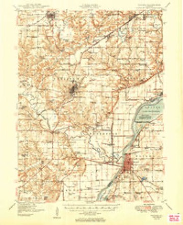
- 1949 USGS Havana quadrangle1:62500, 3 printings
- 1958 USGS Burlington quadrangle1:250000, 4 printings
- 1961 USGS Burlington quadrangle1:250000
- 1963 USGS Burlington quadrangle1:250000
- 1985 USGS Macomb quadrangle1:100000
- 1989 USGS Macomb quadrangle1:100000
- 1990 USGS Burlington quadrangle1:250000, 2 printings




In the county-history sources
13,789 words on this townshipHistory of Fulton County, Illinois;, published 1879 names this settlement in its chapter on Buckheart Township. These are the passages that mention it, exactly as the scans read.
Bryant Methodist Episcopal Church. - There had been no regular Methodist Church within three miles of Bryant until 1846, when Johnson Smitli and wife, Edward Ashtun and wife, John Conner, wife and two daughters, Wm. Morse, wife and two daughters, and John Morse and wife met at the school-house on the northeast corner of sec. 32, fur the purpose of organizing a Methodist society, Rev. Mr. Shinn being the preacher. From this time regular Methodist meetings were held at this school-house until the new church edifice was built at l^ryant. A subscription was taken in 1 868, for the purpose of building a new church edifice and the building was finished the following fall, costing §2,80(1. The first regular Methodist preacher was Rev. Mr. Hunter ; present membership about 60.
Passage source: History of Fulton County, Illinois;, published 1879.
Bryant Christian Church. - The first organization of the Antioch, now the Bryant, Christian Church was in June, 1854, at Mr. T. X. Hasson's, and consisted of the following members: Wm. G. Kirkpatrick, Mrs. K. E. C. Kirkpatrick, Theophilus N. Hasson, Mrs. Margaret Hasson, Solomon Davis, Mrs. Eliza Davis, Mrs. Deborah Snyder, Misses Ellen, Elizal)cth and Cartiline Snyder, Mrs. Lucinda Putnam, Heman Johnscui, Louisa J. Laws, Samuel Rowley, Mrs. Amy Rowley, Mrs. Paulina Harberson and others. Wm. G. Kirkj)atrick was elected Elder and T. \. Hasson Deacon. Elders Wm. Howard and John W. Hoj)kins presided at the meeting, and preached here occasionally f<>r several years. Elder Wm. Grisson was the first permanent preacher. The first permanent church edifice was erected on sec. 6, Liverpool tp., in 186]. James C, Wilcoxen donated the land, and the total expense of building and furnishing was about ^2,000. It was moved to Bryant in the s})ring of 1869, whore it now stands. Elder 11. E. Puette has been pastor of the conirree-ation for sometime, but has recently severed his connection with it.
Passage source: History of Fulton County, Illinois;, published 1879.
Odd Fellows. - Bryant Lodge, No. 619, I. O. O. F., received its charter October 11, 1876, when the members were John Virgil, F. M. Williams, Wni. C. Staton, George Humphrey and Eugene Smith. The charter is signed by N. C. Nason, Grand Secretary, and John H. Oberly, Grand Master. Present membership about 19.
Passage source: History of Fulton County, Illinois;, published 1879.
Machine-read from a century-old scan, so expect the errors a machine makes: misspelled names, dropped words, stray characters.
Read the whole chapter on Buckheart Township - it names this place 12 more 12 times.
Fires near this place
1 since 2019Regional context, not property-specific evidence. The federal wildfire occurrence database lists 1 fire within 5 miles of Bryant in 2019, burning about 10 acres in total. None started naturally. None was recorded as arson. Distance is straight-line from the map coordinates, so a fire counted here may appear on a neighbouring settlement's page as well.
| Reported cause | Fires |
|---|---|
| Debris and open burning | 1 |
The most recent of them, most recent first, with the day each was reported and the service that recorded it.
| Date | Cause | Size | Reported by | Name on the report |
|---|---|---|---|---|
| 23 March 2019 | Debris and open burning | 10 acres | Illinois Division of Forestry Resources | 19-020 |
Settlements close enough to share some of these fires:
Storms near this place
14 since 1994Regional context, not property-specific evidence. The National Weather Service names Bryant in 14 storm reports between 1994 and 2024: 8 thunderstorm wind, 3 hail, 2 flash flood, 1 tornado. No death or injury is recorded in these reports. Each account below is quoted exactly as the forecast office filed it, from the NOAA Storm Events Database, and each date opens the federal record of that event.
| When | Event | Place named | Harm | What the report says |
|---|---|---|---|---|
| June 2010 | Thunderstorm Wind | Bryant | $50,000 | Numerous power poles were blown down along IL 100 near Bryant. |
| June 2015 | Thunderstorm Wind | Bryant | $5,000 | Several 8-inch diameter sycamore branches were blown down. |
| May 1998 | Tornado (F0) | Bryant | $4,000 | A tornado touched down one mile southwest of Bryant. It blew down 4 large trees, one of which fell onto a house causing minor damage. A barn sustained minor damage, a shed was destroyed, and a swingset was thrown 150 feet. Also, a john boat was picked up and tossed into a hay rake, damaging both. No injuries were reported and damage was estimated around $4,000. |
| May 1994 | Thunderstorm Wind | Bryant | $500 | Utility poles were snapped by thunderstorm winds. |
| July 2024 | Flash Flood | Bryant | - | Bethel Road was washed out near Rattlesnake Branch. |
| June 2024 | Thunderstorm Wind | Bryant | - | An electrical pole was snapped. |
| April 2023 | Thunderstorm Wind | Bryant | - | A large tree was snapped at the base along County Highway 4 south of Bryant. |
| April 2023 | Thunderstorm Wind | Bryant | - | Extensive tree damage and some minor roofing damage occurred on the south side of Bryant. |
| October 2021 | Flash Flood | Bryant | - | Water was flowing across Route 100 around Bryant. |
| September 2011 | Thunderstorm Wind | Bryant | - | Significant weather observer estimated a 50 knot wind gust with minor damage to small tree limbs. |
| June 2010 | Thunderstorm Wind | Bryant | - | A 6-inch diameter limb was blown down. A 14-inch diameter soft maple with a rotten core was toppled. |
| August 2016 | Hail | Bryant | - | no account filed |
| May 2006 | Hail | Bryant | - | no account filed |
| May 2006 | Hail | Bryant | - | no account filed |
Nearest settlements
The eight closest, with where each one stands in the county. Distances are straight-line, computed from the Geographic Names Information System coordinates.
| Map | Place | Distance | Sheets |
|---|---|---|---|
| Saint David | 3.0 miles | 19 | |
| Fulton Center (historical) | 3.4 miles | 17 | |
| Dunfermline | 3.6 miles | 19 | |
| Civer (historical) | 4.1 miles | 17 | |
| Maples Mill | 4.2 miles | 19 | |
| Keeler (historical) | 5.0 miles | 19 | |
| Little America | 5.1 miles | 19 | |
| Depler Springs | 5.4 miles | 19 |
Elsewhere
Matched on this settlement's Geographic Names Information System number rather than its name, so it cannot be a different place of the same name in another state.
| Wikipedia article on Bryant | An encyclopaedic summary. Its text is share-alike, so it is linked here rather than copied. |
| Wikidata item Q2089245 | The structured record the population and elevation above come from. Public domain (CC0). |
Provenance
This settlement is recorded in the Geographic Names Information System as feature 405072. The sheet list is computed by point-in-boundary test against the United States Geological Survey's historical topographic inventory. Both are works of the United States government and carry no copyright under 17 U.S.C. 105.
Wildfire. Short, Karen C. 2022. Spatial wildfire occurrence data for the United States, 1992-2020 [FPA_FOD_20221014]. 6th Edition. Fort Collins, CO: Forest Service Research Data Archive. https://doi.org/10.2737/RDS-2013-0009.6 Collected with United States Government funding and usable without additional permissions or fees.
Storms. NOAA National Centers for Environmental Information, Storm Events Database https://www.ncei.noaa.gov/stormevents/ A work of the United States government, no copyright under 17 U.S.C. 105. Narratives are quoted verbatim from the National Weather Service report and are not edited or summarised.