 Block
Long Point, Illinois
11 topographic sheets cover this place, the earliest surveyed in 1925 and the latest in 1991. It stands in Long Point Township. It lies in ZIP code area 61333. The Survey maps it on the Long Point quadrangle. 204 people lived here at the 2020 count. It stands 636 feet above sea level.
On record in Long Point
Buildings and businesses the archive holds for this place. Each opens its own page, with the source record it came from.
On the National Register 1 record
- Memorial Bandstand of Long Pointlisted 2023
Population over time
2 figuresLong Point fell from 226 to 204 between 2010 and 2020. These are the recorded population figures Wikidata holds for this place, reached through the Geographic Names Information System number this page is keyed on rather than by name, so they belong to this place and not to another of the same name. Most are census counts, but not all are: an early figure may be a founding or settlement estimate, and an estimate published within five years of a census is left out. The change column is computed, and is left blank where more than 20 years separate a figure from the one before it, because a gap that long is not a change between two counts.
| Year | People | Change |
|---|---|---|
| 2010 | 226 | |
| 2020 | 204 | -22 (-10%) |
Topographic sheets covering this place
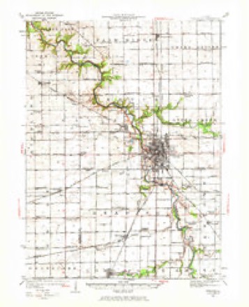
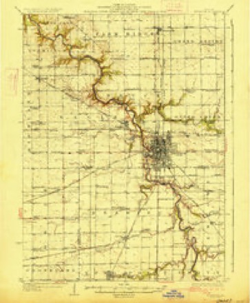
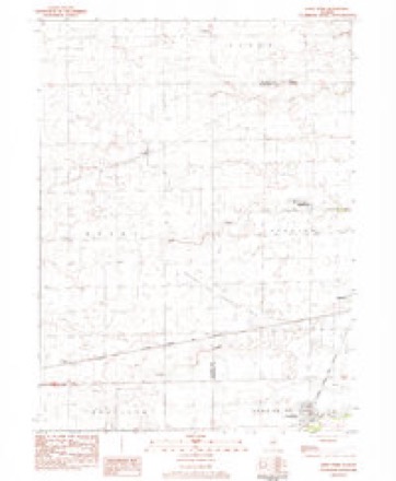
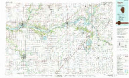
7 surveys from 11 printed sheetsMatched by testing this settlement's coordinate against the published boundary of every sheet in the United States Geological Survey's historical collection. Each opens the scanned sheet at the Survey.
- 1925 USGS Streator quadrangle1:62500, 2 printings
- 1927 USGS Streator quadrangle1:62500, 2 printings
- 1958 USGS Aurora quadrangle1:250000, 3 printings
- 1961 USGS Aurora quadrangle1:250000
- 1983 USGS Long Point quadrangle1:24000
- 1985 USGS Ottawa quadrangle1:100000
- 1991 USGS Ottawa quadrangle1:100000


In the county-history sources
557 words on this townshipThe History of Livingston County, Illinois : Containing a History of the County, Its Cities, Towns, &c. .., published 1878 names this settlement in its chapter on Long Point Township. These are the passages that mention it, exactly as the scans read.
The Chicago, Pekin & Southwestern Railroad was completed through this township in 1872, and immediately there sprang up all along the line at the distance of a few miles apart, new towns, among which was the village named. The Burvey was made by A. C. Huetson, County Surveyor, for F. Plumb, Samuel Sillik and A. J. McDowell, from parts of Sections 4, 5 and '.>.
Passage source: The History of Livingston County, Illinois : Containing a History of the County, Its Cities, Towns, &c. .., published 1878.
The road at first refused to make a station of Ancona ; and, consequently, some of its best institutions were removed to this point, among which were Amos Bosserman and the Masonic Lodge. Bossermau was made agent of the road at this place, and still remains in the position. The Lodge, previously known as Ancona Lodge, was removed the year following the establishment of the town ; and in 1877, its name was changed to Long Point Lodge. This Lodge was organized in October, 1866. The first officers were : Abel Bradley, W. M.; 0. Chubbuck, S. W.; J. C. Mills, J. W.; J. B. Phillips, Treas.; A. J. Bosserman, Sec; E. L. Stratton and J. C. Fulton. Deacons; and I. D. Bullock, Tiler. The present officers are A. J. Bosserman, W. M.; S. D. Carson, S. W.; E. L. Stratton, J. W., A. M. Taggart, Sec; Wm. Miller, Treas.
Passage source: The History of Livingston County, Illinois : Containing a History of the County, Its Cities, Towns, &c. .., published 1878.
The township of Long Point bore an honorable part in the struggle for the preservation of the Union. The promptness with which volunteers flocked to the standard of the country was not surpassed by that of any other community, and several of them sacrificed their lives in their eff'orts to protect it.
Passage source: The History of Livingston County, Illinois : Containing a History of the County, Its Cities, Towns, &c. .., published 1878.
Machine-read from a century-old scan, so expect the errors a machine makes: misspelled names, dropped words, stray characters.
Storms near this place
5 since 2017Regional context, not property-specific evidence. The National Weather Service names Long Point in 5 storm reports between 2017 and 2024: 3 tornado, 1 hail, 1 thunderstorm wind. No death or injury is recorded in these reports. Each account below is quoted exactly as the forecast office filed it, from the NOAA Storm Events Database, and each date opens the federal record of that event.
| When | Event | Place named | Harm | What the report says |
|---|---|---|---|---|
| July 2024 | Thunderstorm Wind | Long Point | - | Softwood trees were snapped and hardwood tree limbs were blown down in a relatively confined area. |
| July 2024 | Tornado (EFU) | Long Point | - | High resolution satellite imagery showed a tornado which began in La Salle County and crossed into Livingston County just south of Prairie Creek. The only damage was to crops, which became more sporadic and subtle along the path in Livingston County. The last instance of crop damage appeared to occur just west of N 200 East Road and south of E 2800 North Road. Since the only known damage from this tornado was to crops, it was assigned the EF-U (unknown) rating. |
| July 2024 | Tornado (EFU) | Long Point | - | High resolution satellite imagery showed a tornado which began in La Salle County and crossed into Livingston County just south of N 4th Road. The only damage was to crops, with the last instance of crop damage just south of E 2400 North Road between N 100 East Road and N 200 East Road. Since the only known damage from this tornado was to crops, it was assigned the EF-U (unknown) rating. |
| February 2017 | Tornado (EF2) | Long Point | - | A tornado began east of Rutland in La Salle County and increased in intensity as it crossed into Livingston County, where it tore the roof off of a house as it was likely at its peak intensity of EF2.The tornado then weakened and snapped a couple of trees before dissipating one mile west of Long Point. |
| September 2019 | Hail | Long Point | - | no account filed |
Nearest settlements
The eight closest, with where each one stands in the county. Distances are straight-line, computed from the Geographic Names Information System coordinates.
| Map | Place | Distance | Sheets |
|---|---|---|---|
| Ancona | 2.7 miles | 11 | |
| Reading | 4.7 miles | 11 | |
| Coalville | 6.3 miles | 11 | |
| Vermilion City | 7.0 miles | 11 | |
| Munster | 7.0 miles | 11 | |
| Carriage Lane Estates | 7.2 miles | 11 | |
| Manville | 7.5 miles | 11 | |
| Smithdale | 8.3 miles | 11 |
Elsewhere
Matched on this settlement's Geographic Names Information System number rather than its name, so it cannot be a different place of the same name in another state.
| Wikipedia article on Long Point | An encyclopaedic summary. Its text is share-alike, so it is linked here rather than copied. |
| Wikidata item Q385171 | The structured record the population and elevation above come from. Public domain (CC0). |
Provenance
This settlement is recorded in the Geographic Names Information System as feature 412586. The sheet list is computed by point-in-boundary test against the United States Geological Survey's historical topographic inventory. Both are works of the United States government and carry no copyright under 17 U.S.C. 105.
Storms. NOAA National Centers for Environmental Information, Storm Events Database https://www.ncei.noaa.gov/stormevents/ A work of the United States government, no copyright under 17 U.S.C. 105. Narratives are quoted verbatim from the National Weather Service report and are not edited or summarised.