 Block
Reading, Illinois
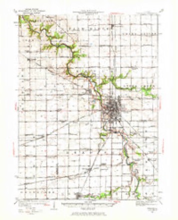
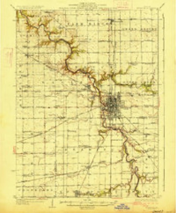
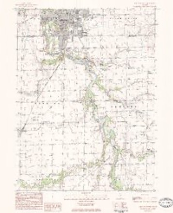
11 topographic sheets cover this place, the earliest surveyed in 1925 and the latest in 1991. It stands in Reading Township. It lies in ZIP code area 61311. The Survey maps it on the Streator South quadrangle.
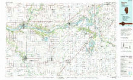
Topographic sheets covering this place
7 surveys from 11 printed sheetsMatched by testing this settlement's coordinate against the published boundary of every sheet in the United States Geological Survey's historical collection. Each opens the scanned sheet at the Survey.
- 1925 USGS Streator quadrangle1:62500, 2 printings
- 1927 USGS Streator quadrangle1:62500, 2 printings
- 1958 USGS Aurora quadrangle1:250000, 3 printings
- 1961 USGS Aurora quadrangle1:250000
- 1983 USGS Streator South quadrangle1:24000
- 1985 USGS Ottawa quadrangle1:100000
- 1991 USGS Ottawa quadrangle1:100000


In the county-history sources
1,400 words on this townshipThe History of Livingston County, Illinois : Containing a History of the County, Its Cities, Towns, &c. .., published 1878 names this settlement in its chapter on Reading Township. These are the passages that mention it, exactly as the scans read.
Excepting the county seat, this is the oldest laid out town in the county, having been surveyed and platted previous to 1851. In the year named, it was surveyed by Franklin Oliver for David Boyle and Caleb Mathis, from the southeast quarter of Section 15. Scarcely a prettier location for a town could be found in the whole county than this. The ground is high and dry ; and being on the bank of a fine little stream of water, good drainage is rendered easy. The first house built in the village was put up by L. S. Latham. Dr. Follet built an office near the same time.
Passage source: The History of Livingston County, Illinois : Containing a History of the County, Its Cities, Towns, &c. .., published 1878.
The history of Ancona is quite similar to that of Reading. With the change of dates and names, the remarks which apply to the one, might with propriety be repeated. Ancona was, however, founded on a different basis. The Great Air Line Railroad, from Fort Wayne to Council Bluffs, had been projected, surveyed and partially graded through this section, and there was not a doubt entertained that it would be completed. Accordingly, in 1854, the town of Ancona was surveyed for Orson Shackleton and Joseph Gumm. Depot grounds were set apart, and a street for a track surveyed. True to expectation, the road was graded through the village, and then Ancona real estate was held at high figures. Lots were sold out rapidly, and buildings went up as if by magic. Stores were opened and a hotel was built. Orson and Benjamin Shackleton built the first house, a store, and occupied it with a stock of goods. The Shackletons were form New York, and remained here until about eight years ago, when they removed. L. B. Smith, who had been living in the township, and who was formerly from Pennsylvania, built the first dwelling, which was the second house in the place. He is still a resident, and occupies the same old house. William Boatman, also a Pcnnsylvanian, soon after erected a hotel, and as this was but a short distance from the coal banks it was well patronized. Boatman afterward sold the hotel to Joel Willet, who had been living in the township. Boatman still resides in the village. Willet is dead, but the hotel is still kept open by members of the family.
Passage source: The History of Livingston County, Illinois : Containing a History of the County, Its Cities, Towns, &c. .., published 1878.
Johnson Bradley came here in 1854, from Ohio, and started a wagon shop, and still carries on the trade at or near the old stand. C. R, Kyser, who had been living in the village of Reading, this year sold out his possessions there to Jacob Bussard, and came to Ancona and opened a blacksmith shop. Joseph Gumm had also been in business in Reading, and, seeing a bigger thing here, removed his store to this point. Gumm and Kyser have both gone further west.
Passage source: The History of Livingston County, Illinois : Containing a History of the County, Its Cities, Towns, &c. .., published 1878.
Machine-read from a century-old scan, so expect the errors a machine makes: misspelled names, dropped words, stray characters.
Read the whole chapter on Reading Township - it names this place 3 more 3 times.
Mines and quarries near this place
1 within 5 milesRegional context, not property-specific evidence. The federal mineral resources record lists 1 working within 5 miles of Reading: 1 producer. All of them still produce. What was taken out: Clay. Distance is straight-line from the map coordinates, so a quarry counted here may appear on a neighbouring settlement's page as well.
| Where | Site | Commodity | Status | Recorded |
|---|---|---|---|---|
| Streator Brick Shale Pit | Clay | Producer |
Storms near this place
4 since 2001Regional context, not property-specific evidence. The National Weather Service names Reading in 4 storm reports between 2001 and 2025: 2 flash flood, 1 flood, 1 funnel cloud. No death or injury is recorded in these reports. Each account below is quoted exactly as the forecast office filed it, from the NOAA Storm Events Database, and each date opens the federal record of that event.
| When | Event | Place named | Harm | What the report says |
|---|---|---|---|---|
| May 2025 | Funnel Cloud | Reading | - | A storm chaser shared a video of a rotating funnel cloud near Reading. It was not conclusive from the video whether the funnel was in contact with the ground and no damage was reported. |
| May 2013 | Flash Flood | Reading | - | Several roads were closed due to high water and flooding. Storm total rainfall reports included 3.50 inches one mile southeast of Pontiac; 2.50 inches in Chatsworth; 2.40 inches in Fairbury and 1.55 inches in Dwight. |
| September 2006 | Flood | Reading | - | One foot of water reported on Route 17 just south of Reading. |
| June 2001 | Flash Flood | Reading | - | no account filed |
Nearest settlements
The eight closest, with where each one stands in the county. Distances are straight-line, computed from the Geographic Names Information System coordinates.
| Map | Place | Distance | Sheets |
|---|---|---|---|
| Coalville | 1.6 miles | 11 | |
| Ancona | 2.0 miles | 11 | |
| Vermilion City | 2.3 miles | 11 | |
| Carriage Lane Estates | 2.6 miles | 11 | |
| Munster | 3.7 miles | 11 | |
| South Streator | 4.3 miles | 11 | |
| Smithdale | 4.4 miles | 11 | |
| Long Point | 4.7 miles | 11 |
Provenance
This settlement is recorded in the Geographic Names Information System as feature 424163. The sheet list is computed by point-in-boundary test against the United States Geological Survey's historical topographic inventory. Both are works of the United States government and carry no copyright under 17 U.S.C. 105.
Mines and quarries. USGS Mineral Resources Data System (MRDS) https://mrdata.usgs.gov/mrds/ A work of the United States government, no copyright under 17 U.S.C. 105.
Storms. NOAA National Centers for Environmental Information, Storm Events Database https://www.ncei.noaa.gov/stormevents/ A work of the United States government, no copyright under 17 U.S.C. 105. Narratives are quoted verbatim from the National Weather Service report and are not edited or summarised.