 Block
Medora, Illinois
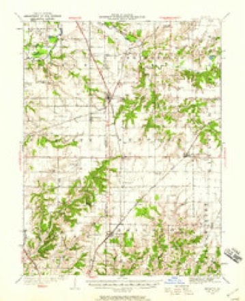
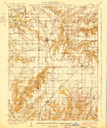
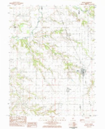
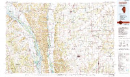
12 topographic sheets cover this place, the earliest surveyed in 1925 and the latest in 1985. It stands in Chesterfield Township. It lies in ZIP code area 62063. The Survey maps it on the Medora quadrangle. 379 people lived here at the 2020 count. It stands 608 feet above sea level.
Population over time
2 figuresMedora fell from 419 to 379 between 2010 and 2020. These are the recorded population figures Wikidata holds for this place, reached through the Geographic Names Information System number this page is keyed on rather than by name, so they belong to this place and not to another of the same name. Most are census counts, but not all are: an early figure may be a founding or settlement estimate, and an estimate published within five years of a census is left out. The change column is computed, and is left blank where more than 20 years separate a figure from the one before it, because a gap that long is not a change between two counts.
| Year | People | Change |
|---|---|---|
| 2010 | 419 | |
| 2020 | 379 | -40 (-10%) |
Topographic sheets covering this place
6 surveys from 12 printed sheetsMatched by testing this settlement's coordinate against the published boundary of every sheet in the United States Geological Survey's historical collection. Each opens the scanned sheet at the Survey.
- 1925 USGS Brighton quadrangle1:62500, 2 printings
- 1928 USGS Brighton quadrangle1:62500, 2 printings
- 1948 USGS Quincy quadrangle1:250000, 2 printings
- 1956 USGS Quincy quadrangle1:250000, 3 printings
- 1983 USGS Medora quadrangle1:24000
- 1985 USGS Jerseyville quadrangle1:100000, 2 printings


In the county-history sources
1,148 words on this townshipHistory of Macoupin County, Illinois : Biographical and Pictorial, published 1911 names this settlement in its chapter on Chesterfield Township. These are the passages that mention it, exactly as the scans read.
The first settlement in the township dates back as early as 1827 and at this time was settled mostly by English emigrants. From that time until 1829, there came here from Kentucky, Abram and Richard Smith, Bennett Tilley and George Nettles, all of whom settled north of the creek a short distance from where the village of Chesterfield now stands. In 1831, John, Henry, Samuel, Jesse, Jacob and Josiah Rhoacls, six brothers, with their families, settled in the southwestern part of the township at what was known as Rhoacls' Point, the present site of Medora. About this same time John Loper settled here on section 21. John Gelder also came with his family in 1831 and settled on section 10. Others of the early settlers were Daniel and Thomas Morfoot, of English birth. Josiah Collins and family. John Reddick and family and Lewis Elliott.
Passage source: History of Macoupin County, Illinois : Biographical and Pictorial, published 1911.
The town of Medora is located in the extreme southwest corner of the township, with a small portion lying on section 6, of Shipman township. It is situated on the line of the Rock Island division of the Chicago, Burlington & Quincy railroad, which runs throug the town and out of the county about a mile northwest of the place. The village was laid out by Thomas B. Rice and surveyed by T. R. McKee in 1859. Prior to this time the place was known as Rhoads' Point.
Passage source: History of Macoupin County, Illinois : Biographical and Pictorial, published 1911.
Medora lies south of Summerville. It is one of the best built and prettiest villages in the county. The citizens of Medora have every incentive to make them proud of their town. The business houses are modern and tasteful in design and the school building, campus and other surroundings are preeminently artistic in design and pleasing to the eye. The early history of Medora is written, and that by a master hand. In 1910, Lyman L. Palmer wrote a series of articles, pertaining to Medora and vicinity, which were published in the Medora Messenger, running several months. No one, who settled in this vicinity, has been overlooked by Mr. Palmer and the history of Medora is told in a concise and illuminating manner.
Passage source: History of Macoupin County, Illinois : Biographical and Pictorial, published 1911.
Machine-read from a century-old scan, so expect the errors a machine makes: misspelled names, dropped words, stray characters.
Read the whole chapter on Chesterfield Township - it names this place 1 more 1 time.
Fires near this place
6 since 2007Regional context, not property-specific evidence. The federal wildfire occurrence database lists 6 fires within 5 miles of Medora in 2007, burning about 35 acres in total. None started naturally. None was recorded as arson. Distance is straight-line from the map coordinates, so a fire counted here may appear on a neighbouring settlement's page as well.
| Reported cause | Fires |
|---|---|
| Missing data/not specified/undetermined | 4 |
| Equipment and vehicle use | 2 |
The most recent of them, most recent first, with the day each was reported and the service that recorded it.
| Date | Cause | Size | Reported by | Name on the report |
|---|---|---|---|---|
| 2 September 2007 | Missing data/not specified/undetermined | 2.0 acres | Illinois Division of Forestry Resources | not named |
| 17 September 2007 | Missing data/not specified/undetermined | 15 acres | Illinois Division of Forestry Resources | not named |
| 18 June 2007 | Missing data/not specified/undetermined | 1.0 acres | Illinois Division of Forestry Resources | not named |
| 24 May 2007 | Equipment and vehicle use | 2.0 acres | Illinois Division of Forestry Resources | not named |
| 27 April 2007 | Equipment and vehicle use | 10 acres | Illinois Division of Forestry Resources | not named |
| 9 February 2007 | Missing data/not specified/undetermined | 5.0 acres | Illinois Division of Forestry Resources | not named |
Settlements close enough to share some of these fires:
Storms near this place
16 since 1997Regional context, not property-specific evidence. The National Weather Service names Medora in 16 storm reports between 1997 and 2024: 7 hail, 5 thunderstorm wind, 2 tornado, 2 flash flood. No death or injury is recorded in these reports. Each account below is quoted exactly as the forecast office filed it, from the NOAA Storm Events Database, and each date opens the federal record of that event.
| When | Event | Place named | Harm | What the report says |
|---|---|---|---|---|
| May 2000 | Hail | Medora | $160,000 | no account filed |
| March 2024 | Tornado (EF0) | Medora | - | As it moved into Macoupin County it crossed Illinois Route 111, just north of the intersection with Three Trees Road. As it crossed Piasa Road, it damaged a farm outbuilding and threw debris to the south in a nearby field. Then before lifting and dissipating 2.7 miles southeast of Fidelity, it snapped off a few large tree limbs. In Macoupin County the tornado was rated EF0 with a path length of 1.62 miles and a max path width of 75 yards. Overall, the tornado was rated EF0 with a path length of 3.90 miles and a max path width of 75 yards. No deaths or injuries were reported. |
| August 2024 | Thunderstorm Wind | Medora | - | Thunderstorm winds downed trees just northeast of Medora. |
| October 2014 | Flash Flood | Medora | - | Up to seven inches of rain fell in a short amount of time causing flash flooding. Several roads were flooded in the area. Also, there were numerous ditches overflowing and several creeks were out of their banks. |
| July 2009 | Flash Flood | Medora | - | Up to 4 inches of rain fell in a short amount of time causing flash flooding. One mile south of Medora, water was flowing over Illinois Route 111. Also, in Staunton several roads in town were flooded due to the heavy rain. |
| July 2006 | Thunderstorm Wind | Medora | - | Numerous trees and tree limbs were blown down. Also, several corn fields were damaged by the winds. |
| June 2005 | Thunderstorm Wind | Medora | - | Local law enforcement reported scattered wind damage across town. Half of the roof shingles of the Post Office were blown off, the roof of a home alone Route 111 was damaged, a tree limb crashed through the window of a home, and a large bay door at H & H Auto was blown in. A semi trailer was also blown over on a company parking lot. |
| June 2005 | Hail | Medora | - | The County Sheriff reported 1 inch hail. |
| July 2000 | Tornado (F0) | Medora | - | Storm spotters reported a brief tornado in a farm field. |
| November 2013 | Hail | Medora | - | no account filed |
| April 2012 | Hail | Medora | - | no account filed |
| July 2012 | Hail | Medora | - | no account filed |
| April 2006 | Thunderstorm Wind | Medora | - | no account filed |
| April 2002 | Hail | Medora | - | no account filed |
| April 1997 | Hail | Medora | - | no account filed |
| April 1997 | Thunderstorm Wind | Medora | - | no account filed |
Nearest settlements
The eight closest, with where each one stands in the county. Distances are straight-line, computed from the Geographic Names Information System coordinates.
| Map | Place | Distance | Sheets |
|---|---|---|---|
| Summerville | 1.4 miles | 12 | |
| Challacombe | 3.2 miles | 12 | |
| Piasa | 4.2 miles | 12 | |
| Shipman | 6.6 miles | 12 | |
| Chesterfield | 7.0 miles | 11 | |
| Miles Station | 7.5 miles | 12 | |
| Plainview | 8.2 miles | 12 | |
| Brighton | 9.3 miles | 12 |
Elsewhere
Matched on this settlement's Geographic Names Information System number rather than its name, so it cannot be a different place of the same name in another state.
| Wikipedia article on Medora | An encyclopaedic summary. Its text is share-alike, so it is linked here rather than copied. |
| Wikidata item Q2433297 | The structured record the population and elevation above come from. Public domain (CC0). |
Provenance
This settlement is recorded in the Geographic Names Information System as feature 413366. The sheet list is computed by point-in-boundary test against the United States Geological Survey's historical topographic inventory. Both are works of the United States government and carry no copyright under 17 U.S.C. 105.
Wildfire. Short, Karen C. 2022. Spatial wildfire occurrence data for the United States, 1992-2020 [FPA_FOD_20221014]. 6th Edition. Fort Collins, CO: Forest Service Research Data Archive. https://doi.org/10.2737/RDS-2013-0009.6 Collected with United States Government funding and usable without additional permissions or fees.
Storms. NOAA National Centers for Environmental Information, Storm Events Database https://www.ncei.noaa.gov/stormevents/ A work of the United States government, no copyright under 17 U.S.C. 105. Narratives are quoted verbatim from the National Weather Service report and are not edited or summarised.