 Block
Piasa, Illinois
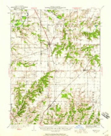
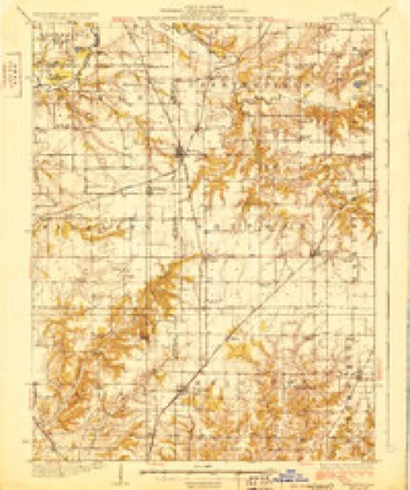
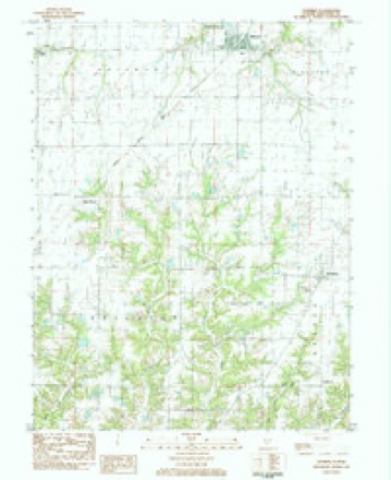
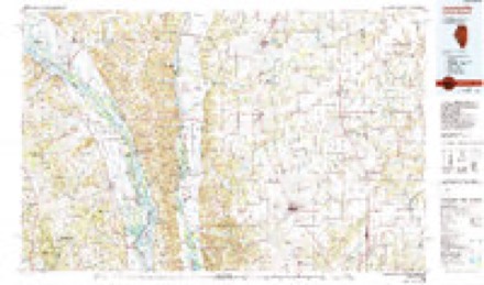
12 topographic sheets cover this place, the earliest surveyed in 1925 and the latest in 1985. It stands in Shipman Township. It lies in ZIP code area 62079. The Survey maps it on the Shipman quadrangle. It stands 594 feet above sea level.
Topographic sheets covering this place
6 surveys from 12 printed sheetsMatched by testing this settlement's coordinate against the published boundary of every sheet in the United States Geological Survey's historical collection. Each opens the scanned sheet at the Survey.
- 1925 USGS Brighton quadrangle1:62500, 2 printings
- 1928 USGS Brighton quadrangle1:62500, 2 printings
- 1948 USGS Quincy quadrangle1:250000, 2 printings
- 1956 USGS Quincy quadrangle1:250000, 3 printings
- 1983 USGS Shipman quadrangle1:24000
- 1985 USGS Jerseyville quadrangle1:100000, 2 printings


In the county-history sources
3,384 words on this townshipHistory of Macoupin County, Illinois : Biographical and Pictorial, published 1911 names this settlement in its chapter on Shipman Township. These are the passages that mention it, exactly as the scans read.
The town of Piasa took its name from the creek which bears the name. It is located on the line of the Rock Island division of the Chicago, Burlington & Quincy railroad, where the corners of sections 19, 20, and 29 and 30 join.
Passage source: History of Macoupin County, Illinois : Biographical and Pictorial, published 1911.
Before the busy hand of man changed the face of nature by reducing it to his uses and purposes, the timber lines stood out in bold relief like promontories extending far out into the ocean, and they served the weary traveler as landmarks to guide him to his goal. In those old days, the hunters, rangers and Indians burned the prairies in the fall of the year, but the permanent settlers soon put a stop to that. It appears that the channels of the larger streams checked the progress of the fires and protected the forests along their courses, so that the timber along the creeks was good, there being white oak, black oak, red oak, post oak, hickory, elm, ash and some walnut. One of the attractions to the first -settlers in this region was the abundance of limestone which cropped out in the streams in five places, first in the Piasa creek on the Jersey county line, one and a fourth miles west of Piasa, thence appearing on four branches nearly on a line south by west for a distance of about two and one-half miles in the same direction.
Passage source: History of Macoupin County, Illinois : Biographical and Pictorial, published 1911.
The fauna of the Piasa were in part deer and wolves in abundance, a few panthers, wild cats, and one Canada lynx was seen by a young man named Andrews, who was driving an ox wagon on a road near a rail fence, when he saw
Passage source: History of Macoupin County, Illinois : Biographical and Pictorial, published 1911.
Machine-read from a century-old scan, so expect the errors a machine makes: misspelled names, dropped words, stray characters.
Read the whole chapter on Shipman Township - it names this place 17 more 17 times.
Fires near this place
4 since 2009Regional context, not property-specific evidence. The federal wildfire occurrence database lists 4 fires within 5 miles of Piasa between 2009 and 2011, burning about 8 acres in total. None started naturally. None was recorded as arson. Distance is straight-line from the map coordinates, so a fire counted here may appear on a neighbouring settlement's page as well.
| Reported cause | Fires |
|---|---|
| Debris and open burning | 2 |
| Missing data/not specified/undetermined | 2 |
The most recent of them, most recent first, with the day each was reported and the service that recorded it.
| Date | Cause | Size | Reported by | Name on the report |
|---|---|---|---|---|
| 1 April 2011 | Debris and open burning | 3.5 acres | Illinois Division of Forestry Resources | PRUITT |
| 6 March 2010 | Debris and open burning | 4.0 acres | Illinois Division of Forestry Resources | DUGAS |
| 17 March 2009 | Missing data/not specified/undetermined | under an acre | Illinois Division of Forestry Resources | 90326 |
| 17 March 2009 | Missing data/not specified/undetermined | under an acre | Illinois Division of Forestry Resources | 90328 |
Settlements close enough to share some of these fires:
Storms near this place
7 since 2000Regional context, not property-specific evidence. The National Weather Service names Piasa in 7 storm reports between 2000 and 2017: 4 tornado, 2 thunderstorm wind, 1 flash flood. No death or injury is recorded in these reports. Each account below is quoted exactly as the forecast office filed it, from the NOAA Storm Events Database, and each date opens the federal record of that event.
| When | Event | Place named | Harm | What the report says |
|---|---|---|---|---|
| May 2008 | Flash Flood | Piasa | $5,000 | Heavy rain of two to five inches caused flash flooding across the southern third of the County. Routes 16 and 159 were flooded. Some roads in Brighton and Piasa had water up to five feet deep. Portions of Panther Creek Road near Mt. Olive, Prairie Dell Road near Shipman, Spanish Needle Road near Gillespie, Moulton Road near Bunker Hill, and Brighton-Bunker Hill Road were all temporarily barricaded. Two vehicles were disables by flooding on Brighton-Bunker Hill Road. A flooded culvert on another part of Bunker Hill-Brighton Road washed away much of an embankment and took out about four feet of the road. |
| April 2017 | Tornado (EF0) | Piasa | - | After the tornado crossed into Macoupin County, it continued to the northeast. It crossed Illinois Routes 111/267 just south of intersection with Bachman Road. In this location it broke off numerous large tree limbs as it crossed Bachman Road. Then the tornado dissipated two tenths of a mile north of Bachman Road, about 3.4 miles north of Brighton. Damage was rated EF0 in Macoupin County. Overall, the tornado was rated EF1 with a path length of 2.36 miles and a max path width of 50 yards. |
| June 2014 | Thunderstorm Wind | Piasa | - | Several large trees were blown over onto Illinois Route 16. |
| August 2008 | Thunderstorm Wind | Piasa | - | The line of severe storms moved across southern portions of Macoupin county. A microburst occurred just south of Shipman. Numerous trees, tree limbs and power lines were blown down. Also, a barn door was blown off two miles south of Shipman. |
| April 2006 | Tornado (F0) | Piasa | - | In Piasa a tornado struck around 515 pm CDT and damaged the roof and siding of numerous homes, snapped several trees and wooden power poles, and took large branches out of trees. Damage was intermittent along a path continuing two miles east of Piasa on Highway 16, where the tornado destroyed a barn near Beacon Road and collapsed a parking canopy at Shipman Elevator Company. A man approximately 1.5 miles north of this tornado witnessed sheet metal debris rotating in the air and dirt swirling on the ground. A woman driving on Highway 16 reported being pushed off the road by the tornado. Total track length of this F0 tornado was 2 miles with a maximum width of 30 yards. |
| April 2006 | Tornado (F0) | Piasa | - | Two miles northeast of Piasa along Little Flock Road another tornado struck around 515 pm CDT and damaged farm buildings and a grain bin. It then destroyed a mobile home after lifting and carrying it approximately 20 yards. This tornado was rated F0 with a track length of one-half mile and track width of 30 yards. |
| July 2000 | Tornado (F0) | Piasa | - | Storm spotters reported a brief tornado in an open field. |
Nearest settlements
The eight closest, with where each one stands in the county. Distances are straight-line, computed from the Geographic Names Information System coordinates.
| Map | Place | Distance | Sheets |
|---|---|---|---|
| Miles Station | 3.3 miles | 12 | |
| Medora | 4.2 miles | 12 | |
| Shipman | 4.2 miles | 12 | |
| Summerville | 5.0 miles | 12 | |
| Brighton | 5.3 miles | 12 | |
| Challacombe | 7.1 miles | 12 | |
| Woodburn | 7.6 miles | 12 | |
| Plainview | 7.7 miles | 12 |
Elsewhere
Matched on this settlement's Geographic Names Information System number rather than its name, so it cannot be a different place of the same name in another state.
| Wikipedia article on Piasa | An encyclopaedic summary. Its text is share-alike, so it is linked here rather than copied. |
| Wikidata item Q7190241 | The structured record the population and elevation above come from. Public domain (CC0). |
Provenance
This settlement is recorded in the Geographic Names Information System as feature 415623. The sheet list is computed by point-in-boundary test against the United States Geological Survey's historical topographic inventory. Both are works of the United States government and carry no copyright under 17 U.S.C. 105.
Wildfire. Short, Karen C. 2022. Spatial wildfire occurrence data for the United States, 1992-2020 [FPA_FOD_20221014]. 6th Edition. Fort Collins, CO: Forest Service Research Data Archive. https://doi.org/10.2737/RDS-2013-0009.6 Collected with United States Government funding and usable without additional permissions or fees.
Storms. NOAA National Centers for Environmental Information, Storm Events Database https://www.ncei.noaa.gov/stormevents/ A work of the United States government, no copyright under 17 U.S.C. 105. Narratives are quoted verbatim from the National Weather Service report and are not edited or summarised.