 Block
Paxton, Illinois
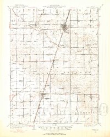
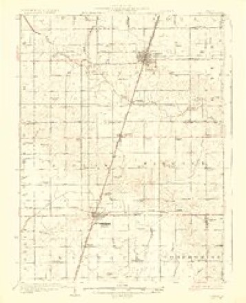
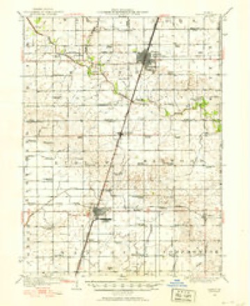
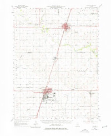
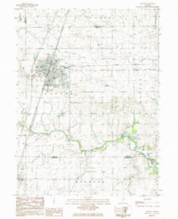
16 topographic sheets cover this place, the earliest surveyed in 1924 and the latest in 1990. It stands in Patton Township. It lies in ZIP code area 60957. The Survey maps it on the Paxton quadrangle. 4,450 people lived here at the 2020 count. It stands 798 feet above sea level.
Research this city
On record in Paxton
Buildings and businesses the archive holds for this place. Each opens its own page, with the source record it came from.
On the National Register 4 records
 Dunnan-Hampton Houselisted 2007
 Paxton Carnegie Public Librarylisted 2002
 Paxton First Schoolhouselisted 1980
 Paxton Water Tower and Pump Houselisted 1984
Population over time
2 figuresPaxton fell from 4,473 to 4,450 between 2010 and 2020. These are the recorded population figures Wikidata holds for this place, reached through the Geographic Names Information System number this page is keyed on rather than by name, so they belong to this place and not to another of the same name. Most are census counts, but not all are: an early figure may be a founding or settlement estimate, and an estimate published within five years of a census is left out. The change column is computed, and is left blank where more than 20 years separate a figure from the one before it, because a gap that long is not a change between two counts.
| Year | People | Change |
|---|---|---|
| 2010 | 4,473 | |
| 2020 | 4,450 | -23 (-1%) |
Topographic sheets covering this place
10 surveys from 16 printed sheetsMatched by testing this settlement's coordinate against the published boundary of every sheet in the United States Geological Survey's historical collection. Each opens the scanned sheet at the Survey.
- 1924 USGS Paxton quadrangle1:62500
- 1927 USGS Paxton quadrangle1:62500, 2 printings
- 1949 USGS Paxton quadrangle1:62500
- 1957 USGS Paxton quadrangle1:62500, 2 printings
- 1958 USGS Peoria quadrangle1:250000, 4 printings
- 1961 USGS Peoria quadrangle1:250000
- 1963 USGS Peoria quadrangle1:250000
- 1984 USGS Paxton quadrangle1:24000
- 1985 USGS Champaign quadrangle1:100000, 2 printings
- 1990 USGS Peoria quadrangle1:250000




In the county-history sources
2,791 words on this townshipHistorical Atlas of Ford County Illinois, published 1884 names this settlement in its chapter on Patton Township. These are the passages that mention it, exactly as the scans read.
It is probable that William Trickel kept the first store in this township, if not in tho county. The store was located on Section 18. A blacksmith shop was started at Ten Mile Grove by C. J. Buchner, who afterward moved to Paxton and built a shop near the railroad.
Passage source: Historical Atlas of Ford County Illinois, published 1884.
J. D. Hall was born in Ross County, Ohio, April 10, 1821. James Hall (deceased), father of J. D. Hall, was a native of Maryland, and died in Vinton County, Ohio, 1855. Mr. Hall emigrated from Ohio to Fountain County, Ind., June, 1839, and to Warren County, Ind., in 1843. He was married to Eliza Wieman in Fountain County, Ind., in 1841. She was a native of Virginia. In February, 1852, Mr. Hall emigrated to Ford County, then Vermilion County, whore he began to make im¬ provements on Section 33, his present homo, and where he has since resided. Mr. and Mrs. Hall have been blessed with four children, three of whom are now living. Mr. Hall built the first frame house north of the river, in what is now Ford County. The post office, when he first settled in this county, was eighteen miles from his farm, at Higginsville. Mr. Hall began the grain business with his son, Henry C. Hall, of Paxton, in 1865, but has now retired from active life. He has 285 acres of excellent land in Patton, which he entered thirty years ago. He was the second Sheriff of Ford County.
Passage source: Historical Atlas of Ford County Illinois, published 1884.
David Patton was born in Clark County, Ky., in 1806. His father was a farmer. When quite young, he went- to Montgomery County, Ohio, then to Preble County, Ohio. He was ambitious to become a lawyer, and entered the law office of Oliver H. Smith, in Conncrsville, Ind. One of his fellow-stu¬ dents was Caleb B. Smith, who afterward was Secretary of the Interior. From Connersville, Mr. Patton went to La Fayette, Ind., and began the practice of law, where he remained about twenty years, and then moved to this township in 1849. Ho first located at Ten Mile Grove. He lived there until 1865 when he came to Paxton. This township was named after Judge Patton. He was the first teacher in this township and the first County Judge of the county. He held the office for fifteen years. He is now seventy-eight years old, and resides in Paxton, respected by all who know him.
Passage source: Historical Atlas of Ford County Illinois, published 1884.
Machine-read from a century-old scan, so expect the errors a machine makes: misspelled names, dropped words, stray characters.
Read the whole chapter on Patton Township - it names this place 15 more 15 times.
Fires near this place
1 since 2018Regional context, not property-specific evidence. The federal wildfire occurrence database lists 1 fire within 5 miles of Paxton in 2018, burning about 20 acres in total. None started naturally. None was recorded as arson. Distance is straight-line from the map coordinates, so a fire counted here may appear on a neighbouring settlement's page as well.
| Reported cause | Fires |
|---|---|
| Equipment and vehicle use | 1 |
The most recent of them, most recent first, with the day each was reported and the service that recorded it.
| Date | Cause | Size | Reported by | Name on the report |
|---|---|---|---|---|
| 16 September 2018 | Equipment and vehicle use | 20 acres | Illinois Division of Forestry Resources | ERIC FOX |
Mines and quarries near this place
3 within 5 milesRegional context, not property-specific evidence. The federal mineral resources record lists 3 workings within 5 miles of Paxton: 2 producers, 1 past producer. 2 still produce. What was taken out: Sand and Gravel, Construction. Distance is straight-line from the map coordinates, so a quarry counted here may appear on a neighbouring settlement's page as well.
| Where | Site | Commodity | Status | Recorded |
|---|---|---|---|---|
| Corbly Pit | Sand and Gravel, Construction | Producer | ||
| Howard Thomas West Pit | Sand and Gravel, Construction | Past Producer | ||
| Paxton Pit Younggreen Pit | Sand and Gravel, Construction | Producer |
Storms near this place
52 since 1994Regional context, not property-specific evidence. The National Weather Service names Paxton in 52 storm reports between 1994 and 2026: 29 thunderstorm wind, 8 flood, 7 hail, 3 tornado. The reports record 4 injuries. Each account below is quoted exactly as the forecast office filed it, from the NOAA Storm Events Database, and each date opens the federal record of that event.
| When | Event | Place named | Harm | What the report says |
|---|---|---|---|---|
| July 1994 | Thunderstorm Wind | Paxton | 3 hurt | A tractor-semitrailer parked on the shoulder of Interstate 57 was blown over injuring three people. Part of a barn roof was blown off and trees were damaged and uprooted. |
| August 2018 | Lightning | Paxton | 1 hurt | A person was struck by lightning near South Cherry and West Ottawa Streets and suffered only minor injuries. |
| January 2008 | Flood | Paxton | $500,000 | Heavy rain which fell onto saturated and frozen ground on January 8th caused widespread and significant flooding across much of Ford County through January 11th. Numerous roads were flooded and closed. Storm total rainfall amounts included 4.14 inches in Piper City and 3.62 inches in Paxton. |
| February 2008 | Flash Flood | Paxton | $500,000 | Flash flooding was reported throughout much of Ford County. Deep and fast flowing water was flowing across many roads. Piper City reported 2.69 inches of rainfall, Paxton reported 2.25 inches and Gibson City reported 2.13 inches. |
| July 2004 | Thunderstorm Wind | Paxton | $100,000 | Widespread damage from the west side of Paxton where small and medium size tree limbs were down to about State Road 115, 4 miles west of Paxton. Numerous large limbs were down, some large trees snapped ot uprooted. Shed roofs and doors were torn off and barns collapsed. A building was damaged at the airport west of town. Damage extended several miles north and south of State Road 9, but the worst damage appeard to be along SR 9 between County Roads 1500 and 1700. |
| June 2008 | Thunderstorm Wind | Paxton | $25,000 | Wind gusts were estimated to 80 mph. Trees, tree limbs and power lines were blown down across all of Paxton. Tin siding was blown off of a building. |
| August 2018 | Thunderstorm Wind | Paxton | $10,000 | A roof was blown off a building on Vermillion Street between Holmes and Pine. Half of a tree fell onto a house on Washington Street. A 4 to 6 inch diameter tree limb fell onto Center Street. There were sporadic 3 to 6 inch diameter tree limbs blown down on the north side of Paxton. |
| March 2006 | Thunderstorm Wind | Paxton | $10,000 | Two camper trailers were overturned on Interstate 57. |
| April 2006 | Thunderstorm Wind | Paxton | $10,000 | A roof was blown off a trailer in a mobile home park. |
| April 2026 | Thunderstorm Wind | Paxton | - | An eight inch diameter tree limb was broken near the intersection of Oak St and American St in Paxton. |
| April 2026 | Thunderstorm Wind | Paxton | - | An eight to ten inch diameter tree limb was downed on E Patton St between Washington and College streets in Paxton. |
| April 2026 | Flood | Paxton | - | About half a dozen streets in Paxton were under three to four inches of water. |
| May 2025 | Heavy Rain | Paxton | - | A private weather station measured 2.1 inches of rainfall in 30 minutes with a storm total rainfall of 2.82 inches. |
| May 2025 | Thunderstorm Wind | Paxton | - | Power lines were blown down on East Patton Street. |
| June 2024 | Thunderstorm Wind | Paxton | - | Emergency management reported trees down in Paxton, including at least one large tree snapped at the trunk. |
| June 2024 | Thunderstorm Wind | Paxton | - | Two cars were crushed by falling trees near the intersection of Center St and Maple St in Paxton. |
| July 2024 | Thunderstorm Wind | Paxton | - | A number of large tree limbs were blown down, the largest up to 8 inches in diameter. One tree limb fell onto a car. There were three occurrences of tree limbs blocking roads. A power line was blown down onto a road and vehicle. |
| February 2023 | Flood | Paxton | - | A photo shared on social media showed standing water at the intersection of Roselawn Drive and Stockholm Road. |
| June 2023 | Thunderstorm Wind | Paxton | - | Trees and power lines were blown down throughout Paxton. |
| June 2023 | Thunderstorm Wind | Paxton | - | A private weather station measured a wind gust to 62 mph. |
| August 2023 | Flash Flood | Paxton | - | Several portions of Route 9 were closed east of Paxton due to flooding. Winter Street was blockaded. A photo shared on social media showed a rain gauge near Paxton with a storm total of 6.50 inches of rain. |
| May 2023 | Thunderstorm Wind | Paxton | - | A tree was reported snapped half way up and had fallen onto power lines in Paxton. Time was estimated based on data from nearby personal weather stations. |
| June 2020 | Flood | Paxton | - | Flooding of ditches, fields, and some residential roads was reported in and east of the Paxton area. Rainfall of 3.03 inches was measured in 3 hours, three miles south of Paxton. |
| July 2018 | Thunderstorm Wind | Paxton | - | A two to three foot diameter tree was uprooted and a six inch diameter tree limb was snapped on another tree. |
| August 2018 | Thunderstorm Wind | Paxton | - | Wind gusts were estimated to 60 mph. |
| August 2018 | Thunderstorm Wind | Paxton | - | A motorcycle was blown off Interstate 57 near Mile Marker 263. The rider suffered only minor injuries. |
| August 2018 | Flood | Paxton | - | Many streets in Paxton were covered with several inches of flood waters. Storm total rainfall of 2.48 inches was measured 0.5 miles east of Paxton. |
| June 2018 | Flood | Paxton | - | Standing water was reported on area roads and in yards. Dawn Street between Route 45 and Lane Drive was closed due standing water 5 to 6 inches deep. Storm total rainfall amounts included 3.52 inches in Buckley and 2.55 inches in Paxton. |
| May 2017 | Hail | Paxton | - | Half dollar size hail fell north of Paxton near I-57. |
| November 2017 | Flood | Paxton | - | Several streets were flooded with standing water up to 8 inches deep. |
| May 2011 | Tornado (EF0) | Paxton | - | A small and brief tornado reportedly touched down in a field about five miles west of Paxton. No damage was reported. |
| June 2009 | Thunderstorm Wind | Paxton | - | A large tree was blown down on Route 9 blocking both lanes. |
| February 2008 | Flood | Paxton | - | After heavy rain and flash flooding on February 4th and February 5th, flooding continued for several days due to saturated and frozen ground. |
| July 2007 | Thunderstorm Wind | Paxton | - | Large tree limbs were blown down. |
| July 2005 | Thunderstorm Wind | Paxton | - | Severval tree limbs and power lines were blown down across Paxton and southeast Ford County. |
| September 2005 | Thunderstorm Wind | Paxton | - | Tree limbs were blown down. |
| October 2005 | Thunderstorm Wind | Paxton | - | Large tree limbs down on Interstate 57. |
| June 2004 | Flash Flood | Paxton | - | State police reported flooding on U.S. Rt. 45. |
| May 2003 | Tornado (F0) | Paxton | - | A weak tornado touched down 2 miles west of Paxton near Interstate 57 in southern Ford county. Utility poles were blown down west of Paxton. |
| May 1998 | Thunderstorm Wind | Paxton | - | Trees were downed on a nursing home in Paxton. A telephone pole fell on 4 cars. In Roberts, extensive damage occurred as gutters were torn from houses, and winds uprooted trees which created roads to be blocked. |
| June 1998 | Thunderstorm Wind | Paxton | - | Straight line winds downed several tree limbs and a few trees into electric poles, causing power outages throughout Paxton. Two large trees were uprooted. |
| April 1995 | Thunderstorm Wind | Paxton | - | Fourteen power poles were blown down at Buckley. Farm outbuildings were destroyed by winds southeast of Paxton. |
| May 2025 | Hail | Paxton | - | no account filed |
| May 2025 | Hail | Paxton | - | no account filed |
| April 2015 | Hail | Paxton | - | no account filed |
| May 2009 | Hail | Paxton | - | no account filed |
| June 2006 | Hail | Paxton | - | no account filed |
| May 2003 | Thunderstorm Wind | Paxton | - | no account filed |
| July 2001 | Thunderstorm Wind | Paxton | - | no account filed |
| May 2000 | Hail | Paxton | - | no account filed |
| June 2000 | Thunderstorm Wind | Paxton | - | no account filed |
| May 2000 | Tornado (F0) | Paxton | - | no account filed |
Nearest settlements
The eight closest, with where each one stands in the county. Distances are straight-line, computed from the Geographic Names Information System coordinates.
| Map | Place | Distance | Sheets |
|---|---|---|---|
| Perdueville | 4.5 miles | 16 | |
| Clarence | 6.6 miles | 13 | |
| Elliott | 9.4 miles | 14 | |
| Melvin | 11.0 miles | 13 | |
| Roberts | 11.5 miles | 13 | |
| Guthrie | 12.6 miles | 14 | |
| Gibson City | 15.3 miles | 14 | |
| Garber | 15.7 miles | 14 |
Elsewhere
Matched on this settlement's Geographic Names Information System number rather than its name, so it cannot be a different place of the same name in another state.
| Wikipedia article on Paxton | An encyclopaedic summary. Its text is share-alike, so it is linked here rather than copied. |
| Wikidata item Q576156 | The structured record the population and elevation above come from. Public domain (CC0). |
Provenance
This settlement is recorded in the Geographic Names Information System as feature 415468. The sheet list is computed by point-in-boundary test against the United States Geological Survey's historical topographic inventory. Both are works of the United States government and carry no copyright under 17 U.S.C. 105.
Wildfire. Short, Karen C. 2022. Spatial wildfire occurrence data for the United States, 1992-2020 [FPA_FOD_20221014]. 6th Edition. Fort Collins, CO: Forest Service Research Data Archive. https://doi.org/10.2737/RDS-2013-0009.6 Collected with United States Government funding and usable without additional permissions or fees.
Mines and quarries. USGS Mineral Resources Data System (MRDS) https://mrdata.usgs.gov/mrds/ A work of the United States government, no copyright under 17 U.S.C. 105.
Storms. NOAA National Centers for Environmental Information, Storm Events Database https://www.ncei.noaa.gov/stormevents/ A work of the United States government, no copyright under 17 U.S.C. 105. Narratives are quoted verbatim from the National Weather Service report and are not edited or summarised.