 Block
Milford, Illinois
12 topographic sheets cover this place, the earliest surveyed in 1938 and the latest in 1990. It stands in Milford Township. It lies in ZIP code area 60953. It stands on Mud Creek. The Survey maps it on the Milford quadrangle. 1,158 people lived here at the 2020 count. It stands 669 feet above sea level.
Population over time
2 figuresMilford fell from 1,306 to 1,158 between 2010 and 2020. These are the recorded population figures Wikidata holds for this place, reached through the Geographic Names Information System number this page is keyed on rather than by name, so they belong to this place and not to another of the same name. Most are census counts, but not all are: an early figure may be a founding or settlement estimate, and an estimate published within five years of a census is left out. The change column is computed, and is left blank where more than 20 years separate a figure from the one before it, because a gap that long is not a change between two counts.
| Year | People | Change |
|---|---|---|
| 2010 | 1,306 | |
| 2020 | 1,158 | -148 (-11%) |
Topographic sheets covering this place
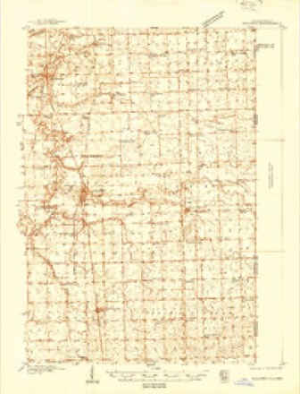
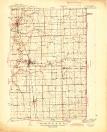
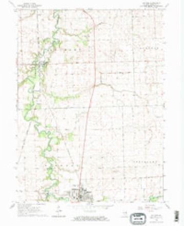
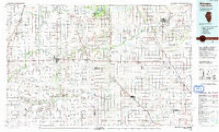
8 surveys from 12 printed sheetsMatched by testing this settlement's coordinate against the published boundary of every sheet in the United States Geological Survey's historical collection. Each opens the scanned sheet at the Survey.
- 1938 USGS Milford quadrangle1:48000
- 1944 USGS Milford quadrangle1:62500, 2 printings
- 1953 USGS Danville quadrangle1:250000, 3 printings
- 1955 USGS Danville quadrangle1:250000
- 1956 USGS Danville quadrangle1:250000
- 1964 USGS Milford quadrangle1:24000, 2 printings
- 1984 USGS Watseka quadrangle1:100000
- 1990 USGS Watseka quadrangle1:100000



In the county-history sources
13,309 words on this townshipHistory of Iroquois County, Together with Historic Notes on the Northwest, Gleaned from Early Authors, Old Maps and Manuscripts, Private and Official Correspondence, and Other Authentic, Though, for the Most Part, Out-of-the-way Sources, published 1880 names this settlement in its chapter on Milford Township. These are the passages that mention it, exactly as the scans read.
Few villages in any sections of the country, can boast of more improvements, backed up with abundant promise of greater substantial prosperity, than Milford. On the east, west and south sides are beautiful groves, while immediately to the north, and also beyond these groves, extend in all directions vast rolling prairies, well drained and yielding enormous crops of all kinds of grain, and sustaining thousands of cattle. Of this region Milford is the most available market, and the enterprise of its citizens is fast binding this extensive trade, and constantly extending every facility and offering every encouragement that superior business sagacity and a liberal outlay of money can present, to maintain and extend their commercial relations.
Passage source: History of Iroquois County, Together with Historic Notes on the Northwest, Gleaned from Early Authors, Old Maps and Manuscripts, Private and Official Correspondence, and Other Authentic, Though, for the Most Part, Out-of-the-way Sources, published 1880.
The general character of the inhabitants of a city or village is often indicated by the quality and style of their buildings. This certainly is true of Milford. No village in eastern Illinois can boast of a better class of buildings, either for business or residence. Nearly all of the business houses are substantial brick buildings, well finished, and filled with large and complete stocks of goods.
Passage source: History of Iroquois County, Together with Historic Notes on the Northwest, Gleaned from Early Authors, Old Maps and Manuscripts, Private and Official Correspondence, and Other Authentic, Though, for the Most Part, Out-of-the-way Sources, published 1880.
Kankakee, Spring Creek, Ash Grove and Milford. Preaching services had indeed been held at irregular intervals previous to this time, but no regular service. Mr. Springer preached once in four weeks. After the first school-house was erected in the village of Milford, these services were held there so long as this building was used for school purposes; afterward the class met frequently in Isaac Bennett's tavern, and after a new school-house was built the meetings were held there until the erection of the present church building, in 1861. The present membership is 170 ; of the Sabbath school, 95.
Passage source: History of Iroquois County, Together with Historic Notes on the Northwest, Gleaned from Early Authors, Old Maps and Manuscripts, Private and Official Correspondence, and Other Authentic, Though, for the Most Part, Out-of-the-way Sources, published 1880.
Machine-read from a century-old scan, so expect the errors a machine makes: misspelled names, dropped words, stray characters.
Read the whole chapter on Milford Township - it names this place 73 more 73 times.
Storms near this place
20 since 1995Regional context, not property-specific evidence. The National Weather Service names Milford in 20 storm reports between 1995 and 2025: 9 thunderstorm wind, 3 hail, 3 flash flood, 3 flood. The reports record 1 injury. Each account below is quoted exactly as the forecast office filed it, from the NOAA Storm Events Database, and each date opens the federal record of that event.
| When | Event | Place named | Harm | What the report says |
|---|---|---|---|---|
| January 2008 | Flash Flood | Milford | 1 hurt, $15,000 | A Chevy Blazer was swept off County Road 2720 East, one half mile south of County Road 1050 North, by fast moving flood waters. The car came to rest in a ditch against trees as several feet of fast moving water flowed over the car. The driver waited on the roof until rescue crews were able to reach him. |
| April 2006 | Hail | Milford | $300,000 | Hail as large as tennis balls fell in Milford which cracked windshields, dented cars and broke windows. A bank received substantial damage to the roof with the breaking of 32 sky lights. |
| May 2006 | Thunderstorm Wind | Milford | $30,000 | Thirty utility poles were snapped off south of Milford. |
| March 2006 | Thunderstorm Wind | Milford | $20,000 | The roof of a barn and a tool shed were torn off. A large farm building collapsed, killing several head of cattle. |
| August 2009 | Thunderstorm Wind | Milford | $10,000 | A large tree limb fell through the back door of a van in Milford causing major damage to the van. |
| June 1995 | Tornado (F1) | Milford | $10,000 | A small tornado damaged a barn and small shed at one farm and roofs, trees and a grain bin at another farm. |
| May 2025 | Thunderstorm Wind | Milford | - | A private weather station measured a wind gust to 63 mph. |
| June 2024 | Thunderstorm Wind | Milford | - | Several large tree limbs were snapped and down onto a house in Milford. |
| July 2024 | Funnel Cloud | Milford | - | Several photos showed a funnel cloud east of Milford. |
| February 2023 | Flood | Milford | - | A photo shared on social media showed flooding of Jones Street at Park Drive. |
| August 2023 | Flash Flood | Milford | - | A viaduct along Route 1 north of Milford was closed and impassible due to flooding. |
| July 2021 | Flood | Milford | - | A couple feet of water was reported under the railroad viaduct on Route 1, north of Milford. Rainfall of 2.70 inches was measured in Milford. |
| May 2019 | Thunderstorm Wind | Milford | - | Power lines were blown down in Milford. |
| July 2018 | Flood | Milford | - | An underpass was flooded. |
| August 2012 | Hail | Milford | - | Pea to quarter size hail was reported at the Dollar General Store on South Axtel Street. |
| March 2009 | Flash Flood | Milford | - | Route 1 viaduct in Milford was flooded with 9 feet of water. Drivers from two cars had to be rescued from their flooded cars. |
| August 2009 | Thunderstorm Wind | Milford | - | Small tree limbs were blown down. |
| August 2009 | Thunderstorm Wind | Milford | - | An 18 inch diameter tree limb was blown down onto the roof of a house. |
| May 2006 | Thunderstorm Wind | Milford | - | A three foot diameter tree was blown down. |
| June 2024 | Hail | Milford | - | no account filed |
Nearest settlements
The eight closest, with where each one stands in the county. Distances are straight-line, computed from the Geographic Names Information System coordinates.
| Map | Place | Distance | Sheets |
|---|---|---|---|
| Bryce | 3.2 miles | 12 | |
| Alonzo | 4.6 miles | 12 | |
| Woodland Junction | 5.1 miles | 12 | |
| Cutmer | 5.3 miles | 12 | |
| Schwer | 5.4 miles | 12 | |
| Hickman | 5.5 miles | 12 | |
| Stockland | 5.6 miles | 11 | |
| Wellington | 6.2 miles | 12 |
Elsewhere
Matched on this settlement's Geographic Names Information System number rather than its name, so it cannot be a different place of the same name in another state.
| Wikipedia article on Milford | An encyclopaedic summary. Its text is share-alike, so it is linked here rather than copied. |
| Wikidata item Q1878509 | The structured record the population and elevation above come from. Public domain (CC0). |
Provenance
This settlement is recorded in the Geographic Names Information System as feature 413532. The sheet list is computed by point-in-boundary test against the United States Geological Survey's historical topographic inventory. Both are works of the United States government and carry no copyright under 17 U.S.C. 105.
Storms. NOAA National Centers for Environmental Information, Storm Events Database https://www.ncei.noaa.gov/stormevents/ A work of the United States government, no copyright under 17 U.S.C. 105. Narratives are quoted verbatim from the National Weather Service report and are not edited or summarised.