 Block
Mineral, Illinois
10 topographic sheets cover this place, the earliest surveyed in 1929 and the latest in 1985. It stands in Mineral Township. It lies in ZIP code area 61344. It stands on Coal Creek. The Survey maps it on the Mineral quadrangle. 206 people lived here at the 2020 count.
Population over time
2 figuresMineral fell from 237 to 206 between 2010 and 2020. These are the recorded population figures Wikidata holds for this place, reached through the Geographic Names Information System number this page is keyed on rather than by name, so they belong to this place and not to another of the same name. Most are census counts, but not all are: an early figure may be a founding or settlement estimate, and an estimate published within five years of a census is left out. The change column is computed, and is left blank where more than 20 years separate a figure from the one before it, because a gap that long is not a change between two counts.
| Year | People | Change |
|---|---|---|
| 2010 | 237 | |
| 2020 | 206 | -31 (-13%) |
Topographic sheets covering this place
6 surveys from 10 printed sheetsMatched by testing this settlement's coordinate against the published boundary of every sheet in the United States Geological Survey's historical collection. Each opens the scanned sheet at the Survey.
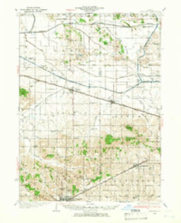
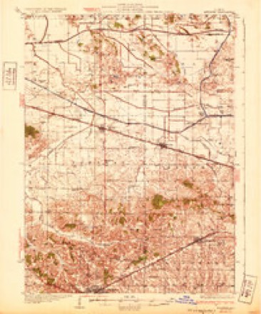
- 1929 USGS Annawan quadrangle1:62500, 2 printings
- 1932 USGS Annawan quadrangle1:62500
- 1958 USGS Aurora quadrangle1:250000, 3 printings
- 1961 USGS Aurora quadrangle1:250000
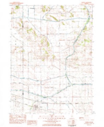
- 1983 USGS Mineral quadrangle1:24000
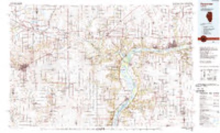
- 1985 USGS Kewanee quadrangle1:100000, 2 printings


In the county-history sources
395 words on this townshipPast and Present of Bureau County, Illinois, published 1906 names this settlement in its chapter on Mineral Township. These are the passages that mention it, exactly as the scans read.
Mineral township, so named on account of a large part of it being underlaid with coal, lies west of Concord. The north part of this township is low and was in early times under water during the spring and early summer; but under the sy.stem of drainage, much if it has become valuable land. Barren Grove stretches across the south part and originally contained much good timber. J. G. Reed is said to be the oldest settler, having built the first house here in 1836. Tliomas Grattige came in 1838; George Squires, Garder Mills and James Carroll came in 1839 ; E. D. Kemp settled on section 25 about the same time ; Martin Tompkins came to the county in 1833. George and John Hall were English people and came to Mineral in 1840. John Hall was the first postmaster in the township. Elder S. L. Pervier was one of the active and useful men of Mineral for many years. The township was organized and officers elected in 1850 ; E. Kent, a justice from Brawby (now Neponset) township, administered the oath of office. Enos Campbell was chosen moderator ; Thomas Grattige, supervisor and treasurer ; Orrin Hazard, clerk ; and Enos Campbell, collector. The first child born in ^fineral was W. S. Reed, son of Green Reed. William Riley platted the village of Mineral in 1857 and opened a store the same year. Calvin Cooper also erected a dwelling and a man by tlic name of Lenhart a storehouse. Other dwellings soon followed and Mineral seemed to prosper for a time, but the business activities declined and finally there was no place of trade left. But about the time the war closed, ^lineral took a new start and has constantly improved until now it has quite a good trade and some fine homes. The first school was taught in the house of William Riley. Later the township was well provided with schoolhouses and the citizens took great pride in their schools. One of the noted Sac and Fox trails passed through Mineral and for many years it wa.s well preserved over what is known as Indian Hill. Matson in his reini- iiisi-eiuis of Hiiroau coiinlv makes this trail the last resting jilace of tlie notorious Mike Girty in 1836. Mineral, including the village, had in 1900 a population of 1,258 and the village, 339.
Passage source: Past and Present of Bureau County, Illinois, published 1906.
Machine-read from a century-old scan, so expect the errors a machine makes: misspelled names, dropped words, stray characters.
Fires near this place
5 since 2017Regional context, not property-specific evidence. The federal wildfire occurrence database lists 5 fires within 5 miles of Mineral between 2017 and 2018, burning about 5 acres in total. None started naturally. None was recorded as arson. Distance is straight-line from the map coordinates, so a fire counted here may appear on a neighbouring settlement's page as well.
| Reported cause | Fires |
|---|---|
| Debris and open burning | 3 |
| Missing data/not specified/undetermined | 2 |
The most recent of them, most recent first, with the day each was reported and the service that recorded it.
| Date | Cause | Size | Reported by | Name on the report |
|---|---|---|---|---|
| 19 September 2018 | Debris and open burning | under an acre | Illinois Division of Forestry Resources | 2018F24 |
| 1 May 2018 | Debris and open burning | under an acre | Illinois Division of Forestry Resources | 2018F14 |
| 23 March 2018 | Missing data/not specified/undetermined | 1.0 acres | Illinois Division of Forestry Resources | 2018F07 |
| 11 March 2017 | Missing data/not specified/undetermined | 2.0 acres | Illinois Division of Forestry Resources | 2017F06 |
| 2 February 2017 | Debris and open burning | 1.0 acres | Illinois Division of Forestry Resources | 2017F03 |
Settlements close enough to share some of these fires:
Mines and quarries near this place
1 within 5 milesRegional context, not property-specific evidence. The federal mineral resources record lists 1 working within 5 miles of Mineral: 1 producer. All of them still produce. What was taken out: Sand and Gravel, Construction. Distance is straight-line from the map coordinates, so a quarry counted here may appear on a neighbouring settlement's page as well.
| Where | Site | Commodity | Status | Recorded |
|---|---|---|---|---|
| G. Mccable Pit | Sand and Gravel, Construction | Producer |
Storms near this place
5 since 1997Regional context, not property-specific evidence. The National Weather Service names Mineral in 5 storm reports between 1997 and 2020: 5 thunderstorm wind. No death or injury is recorded in these reports. Each account below is quoted exactly as the forecast office filed it, from the NOAA Storm Events Database, and each date opens the federal record of that event.
| When | Event | Place named | Harm | What the report says |
|---|---|---|---|---|
| May 2001 | Thunderstorm Wind | Mineral | $50,000 | no account filed |
| June 2015 | Thunderstorm Wind | Mineral | $5,000 | Power lines were reported down due to strong winds, on Route 6, east of Mineral, Illinois. |
| August 2020 | Thunderstorm Wind | Mineral | - | Widespread straight-line winds that produced extensive damage were reported throughout Bureau County, associated with a derecho. These winds lasted around an hour in total, even though the initial line of storms moved out fast. Damaging straight-line winds continued and were associated with the rear inflow jet. Maximum wind speeds were reported up to 100 mph These estimates were determined based off damage surveys and photos submitted through social media. These strong winds damaged many trees, crops, and a few structures in their path. A large radio tower was destroyed near Princeton, Illinois. |
| March 1998 | Thunderstorm Wind | Mineral | - | Many locations were without power across western half of the county. |
| May 1997 | Thunderstorm Wind | Mineral | - | Trees down across road |
Nearest settlements
The eight closest, with where each one stands in the county. Distances are straight-line, computed from the Geographic Names Information System coordinates.
| Map | Place | Distance | Sheets |
|---|---|---|---|
| Sheffield | 5.5 miles | 10 | |
| Neponset | 6.5 miles | 11 | |
| Langley | 7.9 miles | 10 | |
| Thomas | 9.0 miles | 11 | |
| Buda | 9.2 miles | 10 | |
| Manlius | 10.2 miles | 10 | |
| New Bedford | 10.9 miles | 10 | |
| Bourbonais (historical) | 11.0 miles | 10 |
Elsewhere
Matched on this settlement's Geographic Names Information System number rather than its name, so it cannot be a different place of the same name in another state.
| Wikipedia article on Mineral | An encyclopaedic summary. Its text is share-alike, so it is linked here rather than copied. |
| Wikidata item Q2575460 | The structured record the population and elevation above come from. Public domain (CC0). |
Provenance
This settlement is recorded in the Geographic Names Information System as feature 413640. The sheet list is computed by point-in-boundary test against the United States Geological Survey's historical topographic inventory. Both are works of the United States government and carry no copyright under 17 U.S.C. 105.
Wildfire. Short, Karen C. 2022. Spatial wildfire occurrence data for the United States, 1992-2020 [FPA_FOD_20221014]. 6th Edition. Fort Collins, CO: Forest Service Research Data Archive. https://doi.org/10.2737/RDS-2013-0009.6 Collected with United States Government funding and usable without additional permissions or fees.
Mines and quarries. USGS Mineral Resources Data System (MRDS) https://mrdata.usgs.gov/mrds/ A work of the United States government, no copyright under 17 U.S.C. 105.
Storms. NOAA National Centers for Environmental Information, Storm Events Database https://www.ncei.noaa.gov/stormevents/ A work of the United States government, no copyright under 17 U.S.C. 105. Narratives are quoted verbatim from the National Weather Service report and are not edited or summarised.