 Block
Thomas, Illinois
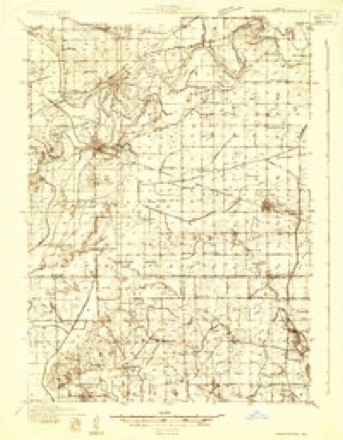
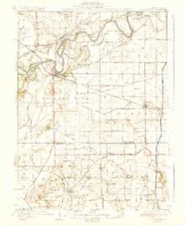
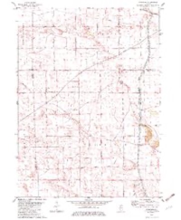
11 topographic sheets cover this place, the earliest surveyed in 1932 and the latest in 1985. It stands in Fairfield Township. It lies in ZIP code area 61283. It stands on Hunt Slough. The Survey maps it on the Yorktown quadrangle. It stands 627 feet above sea level.
Topographic sheets covering this place
6 surveys from 11 printed sheetsMatched by testing this settlement's coordinate against the published boundary of every sheet in the United States Geological Survey's historical collection. Each opens the scanned sheet at the Survey.
- 1932 USGS Prophetstown quadrangle1:48000
- 1936 USGS Prophetstown quadrangle1:62500, 3 printings
- 1958 USGS Aurora quadrangle1:250000, 3 printings
- 1961 USGS Aurora quadrangle1:250000
- 1982 USGS Yorktown quadrangle1:24000
- 1985 USGS Dixon quadrangle1:100000, 2 printings



In the county-history sources
595 words on this townshipPast and Present of Bureau County, Illinois, published 1906 names this settlement in its chapter on Fairfield Township. These are the passages that mention it, exactly as the scans read.
Gold township was not organized until 1852. Up to that time it was a part of Fairfield township. The first settler that we have any record of was Samuel Mathis, who built on section 12, in 1850, about the same time that Jlilton Cain moved onto section 5 and Jacob Walters on 26, James Limerick on 28, and James Neff on section 20. In 1851 David Marple and George Detro settled on section 27. In 1852 Joseph Johnson from Kentucky came. He was a unique character and for many years had a blacksmith shop near the center of section 26. This township originally had a large amount of low land that was overflowed much of the time and was considered almost worthless. Green river runs through the entire township from east to west, being a sluggish stream with a poor outlet. In times of high water large tracts of land were submerged, but in 1874 the river was straightened and deepened and much of the land has been reclaimed and become productive. Previous to the 1894 ditch some drainage had been perfected. A ditch was started on section 15 and ran southwest to the center of the west line of section 22, then northwest to section six, where it united with the river. Gold originally had some fine timber land. Long Island Grove, Trading House Grove were especially fine bodies of woodland. The latter received its name from a trading post which was located there at a very early date and for years after it was abandoned by the traders the cabin was used by hunters as a camp house. One Thomas Ilartzell was one of the Indian traders as early as 1839 and was stationed at this place. He was from Pennsylvania and his description of this then wild and unsettled country was published throughout the east and attracted much attention. The feeder of the Hennepin canal passes through this township, it enters on section one and has a general direction a little west of south and passes oiit on section 34. The population of Gold township in 1900 was 766. The following iiann'il men have served as supervisors :
Passage source: Past and Present of Bureau County, Illinois, published 1906.
Machine-read from a century-old scan, so expect the errors a machine makes: misspelled names, dropped words, stray characters.
Fires near this place
1 since 2018Regional context, not property-specific evidence. The federal wildfire occurrence database lists 1 fire within 5 miles of Thomas in 2018, burning under an acre in total. None started naturally. None was recorded as arson. Distance is straight-line from the map coordinates, so a fire counted here may appear on a neighbouring settlement's page as well.
| Reported cause | Fires |
|---|---|
| Debris and open burning | 1 |
The most recent of them, most recent first, with the day each was reported and the service that recorded it.
| Date | Cause | Size | Reported by | Name on the report |
|---|---|---|---|---|
| 1 May 2018 | Debris and open burning | under an acre | Illinois Division of Forestry Resources | 2018F13 |
Settlements close enough to share some of these fires:
Mines and quarries near this place
1 within 5 milesRegional context, not property-specific evidence. The federal mineral resources record lists 1 working within 5 miles of Thomas: 1 producer. All of them still produce. What was taken out: Sand and Gravel, Construction. Distance is straight-line from the map coordinates, so a quarry counted here may appear on a neighbouring settlement's page as well.
| Where | Site | Commodity | Status | Recorded |
|---|---|---|---|---|
| G. Mccable Pit | Sand and Gravel, Construction | Producer |
Storms near this place
4 since 2012Regional context, not property-specific evidence. The National Weather Service names Thomas in 4 storm reports between 2012 and 2023: 2 hail, 1 thunderstorm wind, 1 tornado. No death or injury is recorded in these reports. Each account below is quoted exactly as the forecast office filed it, from the NOAA Storm Events Database, and each date opens the federal record of that event.
| When | Event | Place named | Harm | What the report says |
|---|---|---|---|---|
| March 2023 | Thunderstorm Wind | Thomas | - | This survey was completed by the NWS in Chicago. Damage to the roof of a home at this location. The damage at this location extended eastward with farm outbuildings as well as damage to trees and tree limbs down. |
| March 2023 | Tornado (EF1) | Thomas | - | A tornado developed north of Atkinson, in Henry County, and tracked northeast towards Hooppole, then tracking more easterly for another mile where it ended in western Bureau County. The tornado crossed into Bureau County about a third of a mile north of Highway 23, on 00 E St, then lifted about one mile to the E/NE. The tornado was rated EF-2 in Henry County, and EF-1 in Bureau County. |
| June 2012 | Hail | Thomas | - | Ping pong ball sized hail fell about 2 miles east of Thomas, IL at 749 pm CDT June 29. Most of the hail was between a half inch and an inch. |
| June 2012 | Hail | Thomas | - | Ping pong ball sized hail fell about 5 miles east northeast of Hooppole, IL at 750 pm CDT June 29. |
Nearest settlements
The eight closest, with where each one stands in the county. Distances are straight-line, computed from the Geographic Names Information System coordinates.
Elsewhere
Matched on this settlement's Geographic Names Information System number rather than its name, so it cannot be a different place of the same name in another state.
| Wikipedia article on Thomas | An encyclopaedic summary. Its text is share-alike, so it is linked here rather than copied. |
| Wikidata item Q7786794 | The structured record the population and elevation above come from. Public domain (CC0). |
Provenance
This settlement is recorded in the Geographic Names Information System as feature 419654. The sheet list is computed by point-in-boundary test against the United States Geological Survey's historical topographic inventory. Both are works of the United States government and carry no copyright under 17 U.S.C. 105.
Wildfire. Short, Karen C. 2022. Spatial wildfire occurrence data for the United States, 1992-2020 [FPA_FOD_20221014]. 6th Edition. Fort Collins, CO: Forest Service Research Data Archive. https://doi.org/10.2737/RDS-2013-0009.6 Collected with United States Government funding and usable without additional permissions or fees.
Mines and quarries. USGS Mineral Resources Data System (MRDS) https://mrdata.usgs.gov/mrds/ A work of the United States government, no copyright under 17 U.S.C. 105.
Storms. NOAA National Centers for Environmental Information, Storm Events Database https://www.ncei.noaa.gov/stormevents/ A work of the United States government, no copyright under 17 U.S.C. 105. Narratives are quoted verbatim from the National Weather Service report and are not edited or summarised.