 Block
Murdock, Illinois
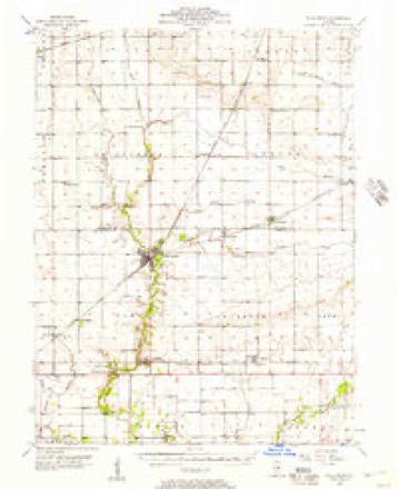
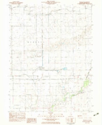
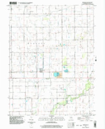
11 topographic sheets cover this place, the earliest surveyed in 1956 and the latest in 1998. It stands in Murdock Township. It lies in ZIP code area 61941. The Survey maps it on the Murdock quadrangle. It stands 640 feet above sea level.
Topographic sheets covering this place
6 surveys from 11 printed sheetsMatched by testing this settlement's coordinate against the published boundary of every sheet in the United States Geological Survey's historical collection. Each opens the scanned sheet at the Survey.
- 1956 USGS Villa Grove quadrangle1:62500, 2 printings
- 1958 USGS Decatur quadrangle1:250000, 3 printings
- 1961 USGS Decatur quadrangle1:250000, 2 printings
- 1982 USGS Murdock quadrangle1:24000
- 1985 USGS Decatur quadrangle1:100000, 2 printings
- 1998 USGS Murdock quadrangle1:24000



In the county-history sources
10,468 words on this townshipHistorical and Biographical Record of Douglas County, Illinois, published 1900 names this settlement in its chapter on Murdock Township. These are the passages that mention it, exactly as the scans read.
Erection, etc. - In years, area and population, compared with the other political subdivisions of Douglas county, Murdock township ranks number nine and last, having been created at the December meeting of the board of supervisors in 1882.
Passage source: Historical and Biographical Record of Douglas County, Illinois, published 1900.
The petition for the new township was closely followed by a counterpetition in the shape of a remonstrance leading to a warm discussion of the "pros and cons," it being held and strenuously maintained that the board held jurisdiction only of the inhabitants of the pro- posed new territory, and not of those out of whose area tlie new township was to be made. This nice (hstinction evoh'ed from the ingenuity of tlie attorneys, did not, however, prevail; the matter was taken to the circuit court on apjieal, and at tlie October term. 18S3, the action of the board being conhrmcd. Murdock became an independent township. The name of the township was given in compliment to John D. Murdock, an old resident yet living (see sketch).
Passage source: Historical and Biographical Record of Douglas County, Illinois, published 1900.
With regard to the first entries of lands in this township, while there were some very early entries, most of the lands, being all prairie, were taken up along about 1852-53, which years seem to have been at the close of a period in which the go\crnment lands were temjjorarily withdr;iwn from sale pending the location of the Illinois Central Railroad and its selections of lands within the six-mile limit, which limit was afterward extended to fifteen miles to enable the road to supply the quantity of lands not found in the first limit. The latter extended limit takes in all of Murdock.
Passage source: Historical and Biographical Record of Douglas County, Illinois, published 1900.
Machine-read from a century-old scan, so expect the errors a machine makes: misspelled names, dropped words, stray characters.
Read the whole chapter on Murdock Township - it names this place 1 more 1 time.
Storms near this place
2 since 2013Regional context, not property-specific evidence. The National Weather Service names Murdock in 2 storm reports between 2013 and 2023: 1 thunderstorm wind, 1 hail. No death or injury is recorded in these reports. Each account below is quoted exactly as the forecast office filed it, from the NOAA Storm Events Database, and each date opens the federal record of that event.
| When | Event | Place named | Harm | What the report says |
|---|---|---|---|---|
| April 2013 | Thunderstorm Wind | Murdock | $7,000 | The steel door of a large shed was bent and destroyed. In addition, a couple of small trees were uprooted. |
| July 2023 | Hail | Murdock | - | no account filed |
Nearest settlements
The eight closest, with where each one stands in the county. Distances are straight-line, computed from the Geographic Names Information System coordinates.
| Map | Place | Distance | Sheets |
|---|---|---|---|
| Camargo | 4.5 miles | 11 | |
| Newman | 4.9 miles | 14 | |
| Hugo | 4.9 miles | 11 | |
| Fairland | 5.4 miles | 11 | |
| Patterson Springs | 6.1 miles | 11 | |
| Villa Grove | 6.2 miles | 11 | |
| West Ridge | 7.5 miles | 11 | |
| Hindsboro | 8.5 miles | 16 |
Elsewhere
Matched on this settlement's Geographic Names Information System number rather than its name, so it cannot be a different place of the same name in another state.
| Wikipedia article on Murdock | An encyclopaedic summary. Its text is share-alike, so it is linked here rather than copied. |
| Wikidata item Q6938247 | The structured record the population and elevation above come from. Public domain (CC0). |
Provenance
This settlement is recorded in the Geographic Names Information System as feature 414242. The sheet list is computed by point-in-boundary test against the United States Geological Survey's historical topographic inventory. Both are works of the United States government and carry no copyright under 17 U.S.C. 105.
Storms. NOAA National Centers for Environmental Information, Storm Events Database https://www.ncei.noaa.gov/stormevents/ A work of the United States government, no copyright under 17 U.S.C. 105. Narratives are quoted verbatim from the National Weather Service report and are not edited or summarised.