 Block
North Alton, Illinois
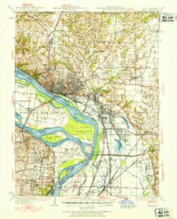
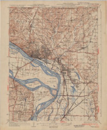
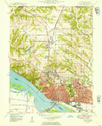
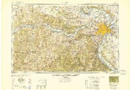
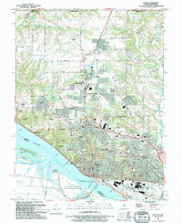
24 topographic sheets cover this place, the earliest surveyed in 1927 and the latest in 1994. It stands in Godfrey Village. It lies in ZIP code area 62035. It lies near Hop Hollow. The Survey maps it on the Alton quadrangle.
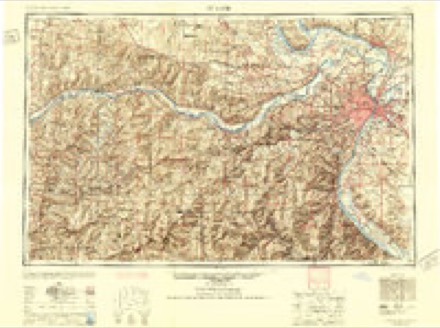
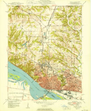
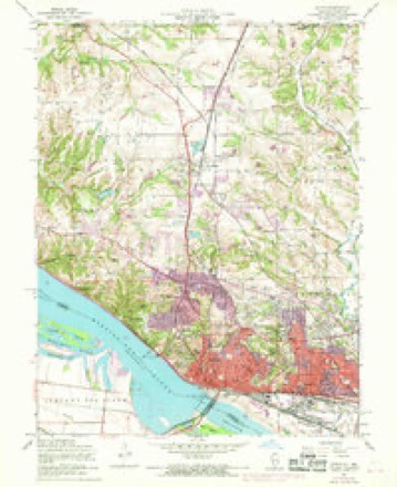
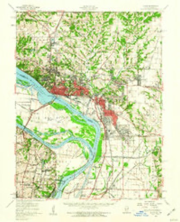
Topographic sheets covering this place
13 surveys from 24 printed sheetsMatched by testing this settlement's coordinate against the published boundary of every sheet in the United States Geological Survey's historical collection. Each opens the scanned sheet at the Survey.
- 1927 USGS Alton quadrangle1:62500
- 1934 USGS Alton quadrangle1:62500, 2 printings
- 1948 USGS Alton quadrangle1:24000
- 1949 USGS Saint Louis quadrangle1:250000
- 1949 USGS St. Louis quadrangle1:250000
- 1950 USGS Alton quadrangle1:24000, 2 printings
- 1954 USGS Alton quadrangle1:24000, 4 printings
- 1955 USGS Alton quadrangle1:62500, 2 printings
- 1962 USGS St. Louis quadrangle1:250000
- 1963 USGS St. Louis quadrangle1:250000, 4 printings
- 1966 USGS St. Louis quadrangle1:250000
- 1985 USGS St Louis quadrangle1:100000, 3 printings
- 1994 USGS Alton quadrangle1:24000
In the county-history sources
3,663 words on this townshipHistory of Madison County, Illinois ... With Biographical Sketches .., published 1882 names this settlement in its chapter on Godfrey Village. These are the passages that mention it, exactly as the scans read.
In the southern part of the township, not far from North Alton, is a settlement comprising about twenty families. The inhabitants are mostly engaged in mining coal. There is one store, of which John and Hugh Pierce are proprietors. The Coal Branch is the name of a small stream, along which out-croppings of coal are visible. Coal was mined by Joseph and Richard Whyers, at an early date. They supplied the first coal usid in the penitentiary at Alton. The coal was procured by a drift, extending into the bank. The first pit was opened by James Mitchell, in the summer of 1848. A few months later a pit was sunk by Thomas Dunford. After ihe opening of the Chicago & Alton railroad considerable quantities of coal were shipped to Springfield, Bloomington, Chicago and other points in the northern and central parts of the state. Not only has this traffic ceased, but Alton itself is now largely supplied from more distant points. The coal is of superior quality, equal to the best mined in the state, but the vein only has a thickness of thirty inches, and the coal can not be mined as cheaply as in a larger vein. The shafts range from fifty to one hundred and twenty feet in depth. The vein is now nearly exhausted, and it is only a question of a few years when the working of the pits will be abandoned. The owneis of the pits are Dennis Noonan, James Mitchell, Peter Robinson, Charles Crowson and William Watte, Henry Camp, Peter Taylor & Co., Nathan Sydcl, Henry Conlon and John Rutledge.
Passage source: History of Madison County, Illinois ... With Biographical Sketches .., published 1882.
They roomed together, sleeping on a rude sapling bed under which the chickens roosted. As soon as the Bishop and family were comfortably housed, Mr. Merriman left for St. Louis. For nine years he remained here plying his trade, as carpenter and builder. In 1844 he commenced farming operations in St. Louis Co., Missouri. Here he carried with him his devotion and influence as a Christian man, and was the means of establi.*hing a mission at Bridgeton, a town near his home. In 1845 his wife Edith died, leaving to his care one son and one adopted daughter. In 1850 he, accompanied by his son Charles, then fifteen years of age, went to California, crossing the plains e/i route, here he remained two years, returning via the Isthmus and New Orleans, settling finally on the farm in Godfrey township, now occupied by hia son Charles. In 1873 he moved to property purchased by him in North Alton, near the chapel, and devoted much of his time to church labor. He was married to Lucinda Wells on the 15th of December, 1845. He died August 13, 1881. At the time he was Senior Warden in the church in whose success he took so great an interest. For nearly a half century, amid the ups and downs of a more or less wandering life beset by its strong temptations, he was found always faithful and true to his trust. His memory is held in dear esteem by hosts of his friends who knew him, as an honest, upright. Christian man.
Passage source: History of Madison County, Illinois ... With Biographical Sketches .., published 1882.
^Vas the name of a former post office which has now changed to that of North Alton. James Strong, a native of Cumberland, England, in the fall of 1837, built a large frame building, over the doorway of which the antlers of a buck were suspended, and opened it as the Buck Inn. This building stood on the south line of the township, where the Grafton road leaves the road to Godfrey. The building was burned down in 1 855, and the present brick structure was then erected. James Strong died in 1869, and his son, Jacob Strong, has since carried on a store at this point. The post office of Buck Inn was established in 1868, and Capt. P. J. Melling was the first post master. The office was kept at his house in the present"<jlodfrey township. After two years. Captain Melling was succeeded by William Hall> who removed the office to the present town of North Alton. The office was called Buck Inn, up to the time of the incorporation of the town of North Alton. In this part of Godfrey township, Adolphus Denz built a steam mill in I860. The machinery was transferred in 1882 to a new mill erecf ed just north of North Alton, on section thirty-five. There
Passage source: History of Madison County, Illinois ... With Biographical Sketches .., published 1882.
Machine-read from a century-old scan, so expect the errors a machine makes: misspelled names, dropped words, stray characters.
Fires near this place
2 since 2008Regional context, not property-specific evidence. The federal wildfire occurrence database lists 2 fires within 5 miles of North Alton in 2008, burning about 2 acres in total. None started naturally. None was recorded as arson. Distance is straight-line from the map coordinates, so a fire counted here may appear on a neighbouring settlement's page as well.
| Reported cause | Fires |
|---|---|
| Missing data/not specified/undetermined | 2 |
The most recent of them, most recent first, with the day each was reported and the service that recorded it.
| Date | Cause | Size | Reported by | Name on the report |
|---|---|---|---|---|
| 21 May 2008 | Missing data/not specified/undetermined | 1.0 acres | Illinois Division of Forestry Resources | HATFIELD |
| 21 May 2008 | Missing data/not specified/undetermined | 1.0 acres | Illinois Division of Forestry Resources | ALLIANCE |
Settlements close enough to share some of these fires:
Mines and quarries near this place
9 within 5 milesRegional context, not property-specific evidence. The federal mineral resources record lists 9 workings within 5 miles of North Alton: 6 past producers, 2 producers, 1 occurrence. 2 still produce. What was taken out: Stone, Crushed/Broken, Sand and Gravel, Construction, Clay. Distance is straight-line from the map coordinates, so a quarry counted here may appear on a neighbouring settlement's page as well.
| Where | Site | Commodity | Status | Recorded |
|---|---|---|---|---|
| Alton Brick Co.Clay Shale Pit | Clay | Past Producer | ||
| Alton Dredge | Sand and Gravel, Construction | Past Producer | ||
| St. Charles & Traveler Dredges | Sand and Gravel, Construction | Past Producer | ||
| Twin River Loading Dock | Sand and Gravel, Construction | Past Producer | ||
| Alton Mine | Stone, Crushed/Broken | Producer | ||
| Limestone Prospect | Stone, Crushed/Broken | Occurrence | ||
| Mississippi Lime and Material Quarr | Stone, Crushed/Broken | Past Producer | ||
| Reliance Quarry | Stone, Crushed/Broken | Past Producer | ||
| Reliance Quarry Inc. Alton Quarry | Stone, Crushed/Broken | Producer |
Storms near this place
1 since 2014Regional context, not property-specific evidence. The National Weather Service names North Alton in 1 storm report in 2014: 1 thunderstorm wind. No death or injury is recorded in these reports. Each account below is quoted exactly as the forecast office filed it, from the NOAA Storm Events Database, and each date opens the federal record of that event.
| When | Event | Place named | Harm | What the report says |
|---|---|---|---|---|
| July 2014 | Thunderstorm Wind | North Alton | - | Thunderstorm winds blew down a large tree as well as large tree limbs in Godfrey. |
Nearest settlements
The eight closest, with where each one stands in the county. Distances are straight-line, computed from the Geographic Names Information System coordinates.
Elsewhere
Matched on this settlement's Geographic Names Information System number rather than its name, so it cannot be a different place of the same name in another state.
| Wikidata item Q122568868 | The structured record the population and elevation above come from. Public domain (CC0). |
Provenance
This settlement is recorded in the Geographic Names Information System as feature 414556. The sheet list is computed by point-in-boundary test against the United States Geological Survey's historical topographic inventory. Both are works of the United States government and carry no copyright under 17 U.S.C. 105.
Wildfire. Short, Karen C. 2022. Spatial wildfire occurrence data for the United States, 1992-2020 [FPA_FOD_20221014]. 6th Edition. Fort Collins, CO: Forest Service Research Data Archive. https://doi.org/10.2737/RDS-2013-0009.6 Collected with United States Government funding and usable without additional permissions or fees.
Mines and quarries. USGS Mineral Resources Data System (MRDS) https://mrdata.usgs.gov/mrds/ A work of the United States government, no copyright under 17 U.S.C. 105.
Storms. NOAA National Centers for Environmental Information, Storm Events Database https://www.ncei.noaa.gov/stormevents/ A work of the United States government, no copyright under 17 U.S.C. 105. Narratives are quoted verbatim from the National Weather Service report and are not edited or summarised.