 Block
North Caledonia, Illinois
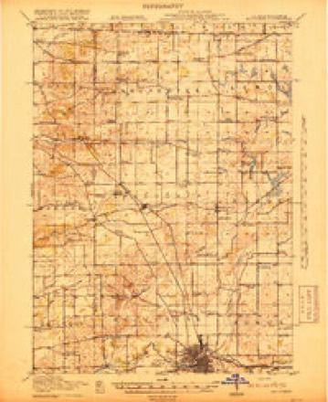
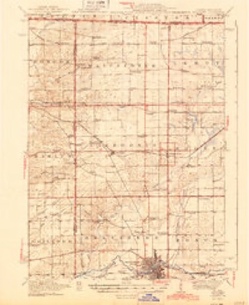
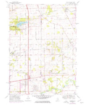
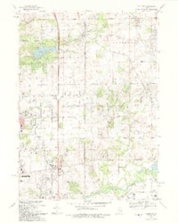
14 topographic sheets cover this place, the earliest surveyed in 1918 and the latest in 1993. It stands in Caledonia Township. It lies in ZIP code area 61011. The Survey maps it on the Caledonia quadrangle. The federal gazetteer marks this settlement historical: it is no longer a populated place, though the surveys that recorded it still are.
Topographic sheets covering this place
9 surveys from 14 printed sheetsMatched by testing this settlement's coordinate against the published boundary of every sheet in the United States Geological Survey's historical collection. Each opens the scanned sheet at the Survey.
- 1918 USGS Belvidere quadrangle1:62500
- 1944 USGS Belvidere quadrangle1:62500, 2 printings
- 1954 USGS Rockford quadrangle1:250000
- 1955 USGS Rockford quadrangle1:250000
- 1958 USGS Rockford quadrangle1:250000, 4 printings
- 1963 USGS Rockford quadrangle1:250000
- 1970 USGS Caledonia quadrangle1:24000, 2 printings
- 1981 USGS Elgin quadrangle1:100000
- 1993 USGS Caledonia quadrangle1:24000





Mines and quarries near this place
7 within 5 milesRegional context, not property-specific evidence. The federal mineral resources record lists 7 workings within 5 miles of North Caledonia (historical): 5 past producers, 2 producers. 2 still produce. What was taken out: Stone, Crushed/Broken, Sand and Gravel, Construction. Distance is straight-line from the map coordinates, so a quarry counted here may appear on a neighbouring settlement's page as well.
| Where | Site | Commodity | Status | Recorded |
|---|---|---|---|---|
| Grover Pit | Sand and Gravel, Construction | Past Producer | ||
| Porter Pit | Sand and Gravel, Construction | Past Producer | ||
| Cooling Quarry | Stone, Crushed/Broken | Producer | ||
| Genestra Quarry | Stone, Crushed/Broken | Past Producer | ||
| H. Webster Quarry | Stone, Crushed/Broken | Past Producer | ||
| Peterson Quarry | Stone, Crushed/Broken | Past Producer | ||
| Porter Bros. Swanson Road Quarry | Stone, Crushed/Broken | Producer |
Nearest settlements
The eight closest, with where each one stands in the county. Distances are straight-line, computed from the Geographic Names Information System coordinates.
| Map | Place | Distance | Sheets |
|---|---|---|---|
| Caledonia | 0.0 miles | 14 | |
| Candlewick Lake | 2.2 miles | 14 | |
| Timberlane | 2.9 miles | 14 | |
| Poplar Grove | 3.7 miles | 14 | |
| Hunter | 4.3 miles | 12 | |
| Beaverton Crossroads | 4.6 miles | 12 | |
| Russellville | 6.4 miles | 14 | |
| Blaine | 7.1 miles | 12 |
Provenance
This settlement is recorded in the Geographic Names Information System as feature 1699780. The sheet list is computed by point-in-boundary test against the United States Geological Survey's historical topographic inventory. Both are works of the United States government and carry no copyright under 17 U.S.C. 105.
Mines and quarries. USGS Mineral Resources Data System (MRDS) https://mrdata.usgs.gov/mrds/ A work of the United States government, no copyright under 17 U.S.C. 105.