 Block
Poplar Grove, Illinois
14 topographic sheets cover this place, the earliest surveyed in 1918 and the latest in 1981. It stands in Poplar Grove Township. It lies in ZIP code area 61065. The Survey maps it on the Belvidere North quadrangle.
Topographic sheets covering this place
8 surveys from 14 printed sheetsMatched by testing this settlement's coordinate against the published boundary of every sheet in the United States Geological Survey's historical collection. Each opens the scanned sheet at the Survey.
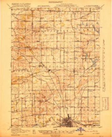
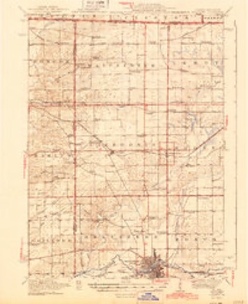
- 1918 USGS Belvidere quadrangle1:62500
- 1944 USGS Belvidere quadrangle1:62500, 2 printings
- 1954 USGS Rockford quadrangle1:250000
- 1955 USGS Rockford quadrangle1:250000
- 1958 USGS Rockford quadrangle1:250000, 4 printings
- 1963 USGS Rockford quadrangle1:250000
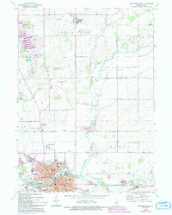
- 1970 USGS Belvidere North quadrangle1:24000, 3 printings
- 1981 USGS Elgin quadrangle1:100000





Fires near this place
1 since 2012Regional context, not property-specific evidence. The federal wildfire occurrence database lists 1 fire within 5 miles of Poplar Grove in 2012, burning about 2 acres in total. None started naturally. None was recorded as arson. Distance is straight-line from the map coordinates, so a fire counted here may appear on a neighbouring settlement's page as well.
| Reported cause | Fires |
|---|---|
| Missing data/not specified/undetermined | 1 |
The most recent of them, most recent first, with the day each was reported and the service that recorded it.
| Date | Cause | Size | Reported by | Name on the report |
|---|---|---|---|---|
| 18 July 2012 | Missing data/not specified/undetermined | 2.0 acres | Illinois Division of Forestry Resources | ELICA |
Settlements close enough to share some of these fires:
Storms near this place
31 since 1998Regional context, not property-specific evidence. The National Weather Service names Poplar Grove in 31 storm reports between 1998 and 2026: 19 thunderstorm wind, 8 hail, 2 flood, 1 flash flood. The reports record 4 injuries. Each account below is quoted exactly as the forecast office filed it, from the NOAA Storm Events Database, and each date opens the federal record of that event.
| When | Event | Place named | Harm | What the report says |
|---|---|---|---|---|
| January 2008 | Tornado (EF3) | Poplar Grove | 4 hurt, $2,000,000 | A tornado touched down at 330 pm CST about 1.2 miles north of Poplar Grove in Boone County and ended at 348 pm about 3.2 miles north northeast of Harvard in McHenry County. The tornado crossed the Boone McHenry County line near Hunter Road, about 3 miles northeast of Capron. The first signs of damage were at Quail Trap Road just east of Poplar Grove Road where trees were damaged and sections of roofing were removed from a shed. The tornado intensified to EF2 intensity at Edwards Apple Orchard on Centerville Road. A large barn was destroyed and other buildings were severely damaged. Large trees were snapped or uprooted. The tornado reached its maximum intensity of EF3 at the northeast corner of Centerville Road and Beaverton Road. A two story farm house and garage were leveled and large trees were stripped of all branches. The tornado was about 100 yards wide through this area. The tornado continued east northeast across Stimes Road and eventually crossed the Boone McHenry County line near Hunter Road. Most of the damage through this part of the tornado path was EF1, though it weakened to EF0 near the county line. There was damage to trees, power lines, barns and sheds. A few farm houses had shingles or small sections of roof damaged. Four injuries were reported. |
| July 2011 | Thunderstorm Wind | Poplar Grove | $45,000 | Over 30 large trees were reported down in the Poplar Grove and Candlewick Lake area, including one tree that fell onto a house on Bounty Drive in Candlewick Lake and a tree that fell onto a car in Poplar Grove. Also in Poplar Grove, a roof was blown off of a house and a garage was destroyed. |
| July 2011 | Thunderstorm Wind | Poplar Grove | $25,000 | A roof was blown off of a house and a garage was destroyed. |
| June 2007 | Flash Flood | Poplar Grove | $10,000 | Whiting Road washed out, just west of Popular Grove. |
| April 2026 | Thunderstorm Wind | Poplar Grove | - | A tree was downed along Poplar Grove Rd south of Poplar Grove. |
| August 2023 | Thunderstorm Wind | Poplar Grove | - | A photo shared on social media showed half of a small tree snapped. |
| July 2022 | Thunderstorm Wind | Poplar Grove | - | Several trees were blown down near Russellville Road and Grange Hall Road. |
| September 2022 | Thunderstorm Wind | Poplar Grove | - | A four inch diameter tree limb was blown down southeast of the intersection of Route 76 and Route 173. |
| April 2022 | Flood | Poplar Grove | - | Standing water 2 to 3 inches deep was reported over Route 173 near Poplar Grove. |
| June 2020 | Flood | Poplar Grove | - | Creeks and ditches were full with water over roads in low lying areas. |
| November 2020 | Thunderstorm Wind | Poplar Grove | - | Wind gusts were estimated to 70 mph and lasted for 5 minutes. |
| August 2015 | Thunderstorm Wind | Poplar Grove | - | A four to six inch diameter tree branch was snapped off. |
| June 2011 | Thunderstorm Wind | Poplar Grove | - | Winds were estimated to 60 mph. |
| June 2011 | Hail | Poplar Grove | - | Multiple reports of penny to quarter size hail came in from Poplar Grove. |
| June 2010 | Thunderstorm Wind | Poplar Grove | - | A medium size tree limb was blown down on Route 173. |
| July 2008 | Thunderstorm Wind | Poplar Grove | - | Numerous trees were blown down in Popular Grove. |
| July 2008 | Thunderstorm Wind | Poplar Grove | - | Several trees were blown down. |
| June 2007 | Thunderstorm Wind | Poplar Grove | - | A large tree limb was blown down on Popular Grove Road north of Route 173. |
| August 2006 | Thunderstorm Wind | Poplar Grove | - | Trees and tree limbs were blown down on Route 76 at Hunter and Capron Roads. |
| May 2005 | Hail | Poplar Grove | - | Quarter size hail fell near Route 173 in central Boone County. |
| May 2004 | Thunderstorm Wind | Poplar Grove | - | Large tree limbs were blown down. |
| February 1999 | Thunderstorm Wind | Poplar Grove | - | A maintenance building at highway 76 and 173 was damaged by thunderstorm winds. |
| July 1998 | Thunderstorm Wind | Poplar Grove | - | Estimated 65 mph winds snapped 2 to 3 foot diameter trees. |
| May 1998 | Thunderstorm Wind | Poplar Grove | - | Trees were blown donw across a road in the northern part of the county. |
| April 2026 | Hail | Poplar Grove | - | no account filed |
| April 2026 | Hail | Poplar Grove | - | no account filed |
| May 2017 | Hail | Poplar Grove | - | no account filed |
| June 2007 | Hail | Poplar Grove | - | no account filed |
| May 2005 | Hail | Poplar Grove | - | no account filed |
| May 2004 | Hail | Poplar Grove | - | no account filed |
| June 1998 | Thunderstorm Wind | Poplar Grove | - | no account filed |
Nearest settlements
The eight closest, with where each one stands in the county. Distances are straight-line, computed from the Geographic Names Information System coordinates.
| Map | Place | Distance | Sheets |
|---|---|---|---|
| Candlewick Lake | 2.4 miles | 14 | |
| Beaverton Crossroads | 2.7 miles | 12 | |
| Timberlane | 3.1 miles | 14 | |
| Russellville | 3.4 miles | 14 | |
| Caledonia | 3.7 miles | 14 | |
| North Caledonia (historical) | 3.7 miles | 14 | |
| Capron | 4.8 miles | 16 | |
| Hunter | 4.9 miles | 12 |
Provenance
This settlement is recorded in the Geographic Names Information System as feature 416032. The sheet list is computed by point-in-boundary test against the United States Geological Survey's historical topographic inventory. Both are works of the United States government and carry no copyright under 17 U.S.C. 105.
Wildfire. Short, Karen C. 2022. Spatial wildfire occurrence data for the United States, 1992-2020 [FPA_FOD_20221014]. 6th Edition. Fort Collins, CO: Forest Service Research Data Archive. https://doi.org/10.2737/RDS-2013-0009.6 Collected with United States Government funding and usable without additional permissions or fees.
Storms. NOAA National Centers for Environmental Information, Storm Events Database https://www.ncei.noaa.gov/stormevents/ A work of the United States government, no copyright under 17 U.S.C. 105. Narratives are quoted verbatim from the National Weather Service report and are not edited or summarised.