 Block
Olivet, Illinois
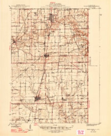
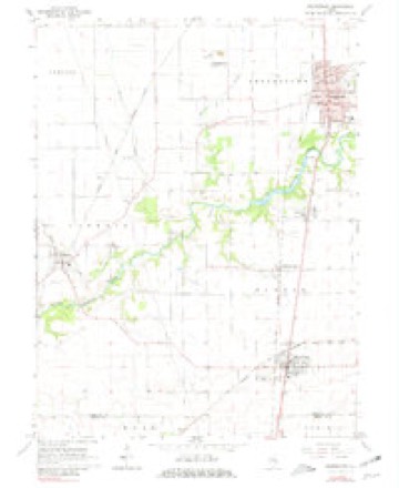
15 topographic sheets cover this place, the earliest surveyed in 1947 and the latest in 1986. It stands in Elwood Township. It lies in ZIP code area 61846. The Survey maps it on the Georgetown quadrangle.
Topographic sheets covering this place
7 surveys from 15 printed sheetsMatched by testing this settlement's coordinate against the published boundary of every sheet in the United States Geological Survey's historical collection. Each opens the scanned sheet at the Survey.
- 1947 USGS Ridge Farm quadrangle1:62500, 3 printings
- 1953 USGS Indianapolis quadrangle1:250000, 4 printings
- 1956 USGS Indianapolis quadrangle1:250000
- 1957 USGS Indianapolis quadrangle1:250000, 2 printings
- 1962 USGS Indianapolis quadrangle1:250000
- 1966 USGS Georgetown quadrangle1:24000, 2 printings
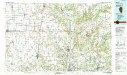
- 1986 USGS Paris quadrangle1:100000, 2 printings




In the county-history sources
27,085 words on this townshipHistory of Vermilion County, Together with Historic Notes on the Northwest, Gleaned from Early Authors, Old Maps and Manuscripts, Private and Official Correspondence, and Other Authentic, Though, for the Most Part, Out-of-the-way Sources, published 1879 names this settlement in its chapter on Elwood Township. These are the passages that mention it, exactly as the scans read.
-lames Hepburn came to Eugene in 1833, and the next year came to section 2 and entered eighty acres of land, made a cabin, and improved the farm his son Thomas now resides on. He died in 1S50. He had eleven children; five are now living: Thomas lives on the old home-
Passage source: History of Vermilion County, Together with Historic Notes on the Northwest, Gleaned from Early Authors, Old Maps and Manuscripts, Private and Official Correspondence, and Other Authentic, Though, for the Most Part, Out-of-the-way Sources, published 1879.
Machine-read from a century-old scan, so expect the errors a machine makes: misspelled names, dropped words, stray characters.
Read the whole chapter on Elwood Township - it names this place 1 more 1 time.
Storms near this place
3 since 2017Regional context, not property-specific evidence. The National Weather Service names Olivet in 3 storm reports between 2017 and 2022: 2 thunderstorm wind, 1 hail. No death or injury is recorded in these reports. Each account below is quoted exactly as the forecast office filed it, from the NOAA Storm Events Database, and each date opens the federal record of that event.
| When | Event | Place named | Harm | What the report says |
|---|---|---|---|---|
| April 2020 | Thunderstorm Wind | Olivet | $30,000 | A shed was destroyed. |
| March 2022 | Thunderstorm Wind | Olivet | - | A large tree was blown down and a 12 by 6-foot trailer was pushed approximately 100 feet. |
| April 2017 | Hail | Olivet | - | no account filed |
Nearest settlements
The eight closest, with where each one stands in the county. Distances are straight-line, computed from the Geographic Names Information System coordinates.
| Map | Place | Distance | Sheets |
|---|---|---|---|
| Vermilion Grove | 1.3 miles | 15 | |
| Georgetown | 2.3 miles | 15 | |
| Ridge Farm | 3.2 miles | 15 | |
| Busenville | 3.6 miles | 15 | |
| Steelton | 5.0 miles | 20 | |
| Meeks | 5.1 miles | 16 | |
| Midway | 5.1 miles | 20 | |
| Indianola | 5.2 miles | 15 |
Provenance
This settlement is recorded in the Geographic Names Information System as feature 415101. The sheet list is computed by point-in-boundary test against the United States Geological Survey's historical topographic inventory. Both are works of the United States government and carry no copyright under 17 U.S.C. 105.
Storms. NOAA National Centers for Environmental Information, Storm Events Database https://www.ncei.noaa.gov/stormevents/ A work of the United States government, no copyright under 17 U.S.C. 105. Narratives are quoted verbatim from the National Weather Service report and are not edited or summarised.