 Block
Prouty, Illinois
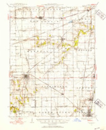
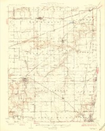
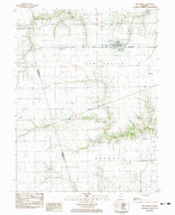
12 topographic sheets cover this place, the earliest surveyed in 1924 and the latest in 1985. It stands in New Berlin Township. It lies in ZIP code area 62670. The Survey maps it on the New Berlin quadrangle.
Topographic sheets covering this place
6 surveys from 12 printed sheetsMatched by testing this settlement's coordinate against the published boundary of every sheet in the United States Geological Survey's historical collection. Each opens the scanned sheet at the Survey.
- 1924 USGS Waverly quadrangle1:62500, 2 printings
- 1926 USGS Waverly quadrangle1:62500, 2 printings
- 1958 USGS Decatur quadrangle1:250000, 3 printings
- 1961 USGS Decatur quadrangle1:250000, 2 printings
- 1983 USGS New Berlin quadrangle1:24000
- 1985 USGS Springfield quadrangle1:100000, 2 printings



In the county-history sources
4,013 words on this townshipHistory of Sangamon County, Illinois; Together with Sketches of Its Cities, Villages and Townships ... Portraits of Prominent Persons, and Biographies of Representative Citizens. History of Illinois, published 1881 has no passage naming this settlement, which was common for smaller places. Its township is covered in full.
The chapter on New Berlin Township covers the township.
Read the chapter on New Berlin Township - 4,013 words.
Storms near this place
5 since 2008Regional context, not property-specific evidence. The National Weather Service names Prouty in 5 storm reports between 2008 and 2020: 3 tornado, 1 hail, 1 flash flood. The reports record 5 injuries. Each account below is quoted exactly as the forecast office filed it, from the NOAA Storm Events Database, and each date opens the federal record of that event.
| When | Event | Place named | Harm | What the report says |
|---|---|---|---|---|
| August 2009 | Tornado (EF2) | Prouty | 3 hurt, $4,000,000 | The tornado crossed into Sangamon County from Morgan County at 151 PM CST, then continued northeastward through the town of Loami before lifting 1.5 miles northwest of Chatham at 208 PM CST. In Loami, 13 homes were destroyed and 19 homes were severely damaged. In addition, the tornado produced damage to several homes, farm machinery sheds, trees, and crops along the remainder of its path. Three people sustained minor injuries from flying or falling debris in Loami. |
| March 2009 | Tornado (EF1) | Prouty | 2 hurt, $610,000 | The tornado initially touched down in a field 6 miles southwest of Loami, then tracked northeastward and dissipated about 1 mile north of Loami. Several houses were damaged and numerous sheds and outbuildings were destroyed along the path of the tornado. Considerable tree damage was also observed. Two people were injured, including a woman who was struck by flying debris in her home and a man who was inside his barn when it collapsed. |
| July 2020 | Tornado (EF0) | Prouty | $10,000 | This tornado is a continuation of the tornado that touched down in Morgan County at 4:28 PM CDT. It crossed from Morgan County into Sangamon County 5.6 miles southwest of New Berlin at 4:30 PM CDT, then tracked north-northeastward and dissipated 2.5 miles southwest of New Berlin at 4:37 PM CDT. Minor crop and tree damage was reported. |
| June 2010 | Flash Flood | Prouty | - | A narrow band of training thunderstorms in central and southern Sangamon County, including the city of Springfield, resulted in rainfall rates of 1.50 of rain per hour for at least two to three hours. Several streets and all viaducts in the city of Springfield were flooded for the second time in three weeks. Numerous other roads were impassable in the county, including those in the villages of Chatham, Auburn and Riverton. |
| May 2008 | Hail | Prouty | - | no account filed |
Nearest settlements
The eight closest, with where each one stands in the county. Distances are straight-line, computed from the Geographic Names Information System coordinates.
| Map | Place | Distance | Sheets |
|---|---|---|---|
| Huffaker | 1.6 miles | 12 | |
| New Berlin | 3.1 miles | 12 | |
| Island Grove | 3.4 miles | 12 | |
| Maxwell (historical) | 3.7 miles | 12 | |
| Browns Crossing | 4.1 miles | 12 | |
| Loami | 4.4 miles | 12 | |
| Bates | 5.1 miles | 12 | |
| Berlin | 5.5 miles | 13 |
Elsewhere
Matched on this settlement's Geographic Names Information System number rather than its name, so it cannot be a different place of the same name in another state.
| Wikidata item Q122540096 | The structured record the population and elevation above come from. Public domain (CC0). |
Provenance
This settlement is recorded in the Geographic Names Information System as feature 423090. The sheet list is computed by point-in-boundary test against the United States Geological Survey's historical topographic inventory. Both are works of the United States government and carry no copyright under 17 U.S.C. 105.
Storms. NOAA National Centers for Environmental Information, Storm Events Database https://www.ncei.noaa.gov/stormevents/ A work of the United States government, no copyright under 17 U.S.C. 105. Narratives are quoted verbatim from the National Weather Service report and are not edited or summarised.