 Block
Pulaski, Illinois
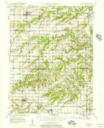
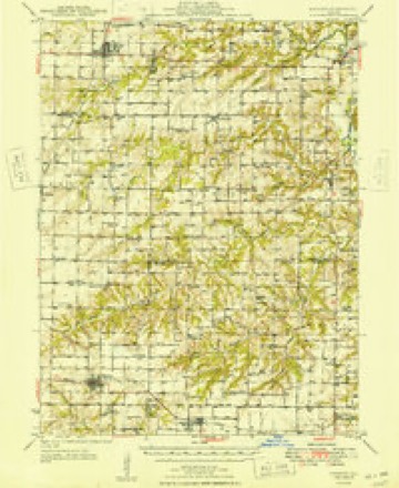
15 topographic sheets cover this place, the earliest surveyed in 1946 and the latest in 1990. It stands in Augusta Township. It lies in ZIP code area 62311. The Survey maps it on the Augusta quadrangle.
Topographic sheets covering this place
10 surveys from 15 printed sheetsMatched by testing this settlement's coordinate against the published boundary of every sheet in the United States Geological Survey's historical collection. Each opens the scanned sheet at the Survey.
- 1946 USGS Augusta quadrangle1:62500, 2 printings
- 1949 USGS Augusta quadrangle1:62500
- 1958 USGS Burlington quadrangle1:250000, 4 printings
- 1961 USGS Burlington quadrangle1:250000
- 1963 USGS Burlington quadrangle1:250000
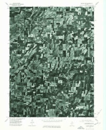
- 1975 USGS Augusta NW quadrangle1:24000
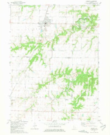
- 1981 USGS Augusta quadrangle1:24000
- 1985 USGS Macomb quadrangle1:100000
- 1989 USGS Macomb quadrangle1:100000
- 1990 USGS Burlington quadrangle1:250000, 2 printings




In the county-history sources
18,545 words on this townshipHistory of Hancock County, Illinois, Together with an Outline History of the State, and a Digest of State Laws, published 1880 names this settlement in its chapter on Augusta Township. These are the passages that mention it, exactly as the scans read.
I)r. Adolphus Allen removed to Riverside and died many years ago; Mr. Yates to Nauvoo, still living at an advanced age. Pidgeon went to Salem, Iowa; Stanley back to N. C. The elder Mead and his sons Horace and Alfred, we believe are all deceased. So are Messrs. Dexter, Hawley, Ireland and Skinner. The latter was for many years one of the most active business men in the county. Mr. Bacon was a leading and honored citizen, resident at Pulaski, died much regretted many years since.
Passage source: History of Hancock County, Illinois, Together with an Outline History of the State, and a Digest of State Laws, published 1880.
The M. E. organization was first in Pulaski; removed'to Augusta in 1849. Held first meetings in school-houses. First church erected about 1856. New brick erected five or six years ago. Names of members at organization in town, by Rev. Halton: David Rice, class leader; Samuel Parrott and wife Mary; Thomas Leach and wife Dorcas Ann; Mrs. Sophronia Sullivan, Mrs. Elizabeth Kennedy and David Rice and wife Clarinda.
Passage source: History of Hancock County, Illinois, Together with an Outline History of the State, and a Digest of State Laws, published 1880.
6. N. Edwards was born in Nebraska in 1850, and is a son of George and Mary Edwards, both of English descent. He came to this county in 1866, and in ISSO, in Schuyler count}', he married Fanny Pearce, a native of North Carolina. He owns 20 acres of land in Pulaski, with dwelling house, - also a coal bank or shaft, which takes up as many as 200 bushels per day, and this generally sells at seven cents per bushel; the coal is of excellent qftality. Mr. E is a Republican. P. O., Augusta.
Passage source: History of Hancock County, Illinois, Together with an Outline History of the State, and a Digest of State Laws, published 1880.
Machine-read from a century-old scan, so expect the errors a machine makes: misspelled names, dropped words, stray characters.
Read the whole chapter on Augusta Township - it names this place 1 more 1 time.
Mines and quarries near this place
1 within 5 milesRegional context, not property-specific evidence. The federal mineral resources record lists 1 working within 5 miles of Pulaski: 1 prospect. None of them still produces. What was taken out: Clay. Distance is straight-line from the map coordinates, so a quarry counted here may appear on a neighbouring settlement's page as well.
| Where | Site | Commodity | Status | Recorded |
|---|---|---|---|---|
| Francis Creek Clay Shale Exposure | Clay | Prospect |
Nearest settlements
The eight closest, with where each one stands in the county. Distances are straight-line, computed from the Geographic Names Information System coordinates.
| Map | Place | Distance | Sheets |
|---|---|---|---|
| Augusta | 2.0 miles | 15 | |
| Plymouth | 6.3 miles | 14 | |
| Bowen | 6.8 miles | 13 | |
| Saint Mary | 9.9 miles | 14 | |
| Chili | 10.7 miles | 14 | |
| Denver | 10.7 miles | 14 | |
| Middle Creek | 12.6 miles | 14 | |
| Stillwell | 12.9 miles | 14 |
Provenance
This settlement is recorded in the Geographic Names Information System as feature 1720626. The sheet list is computed by point-in-boundary test against the United States Geological Survey's historical topographic inventory. Both are works of the United States government and carry no copyright under 17 U.S.C. 105.
Mines and quarries. USGS Mineral Resources Data System (MRDS) https://mrdata.usgs.gov/mrds/ A work of the United States government, no copyright under 17 U.S.C. 105.