 Block
Ramsey, Illinois
12 topographic sheets cover this place, the earliest surveyed in 1944 and the latest in 1998. It stands in Ramsey Township. It lies in ZIP code area 62080. The Survey maps it on the Ramsey quadrangle. 911 people lived here at the 2020 count. It stands 187 feet above sea level.
Population over time
2 figuresRamsey fell from 1,037 to 911 between 2010 and 2020. These are the recorded population figures Wikidata holds for this place, reached through the Geographic Names Information System number this page is keyed on rather than by name, so they belong to this place and not to another of the same name. Most are census counts, but not all are: an early figure may be a founding or settlement estimate, and an estimate published within five years of a census is left out. The change column is computed, and is left blank where more than 20 years separate a figure from the one before it, because a gap that long is not a change between two counts.
| Year | People | Change |
|---|---|---|
| 2010 | 1,037 | |
| 2020 | 911 | -126 (-12%) |
Topographic sheets covering this place
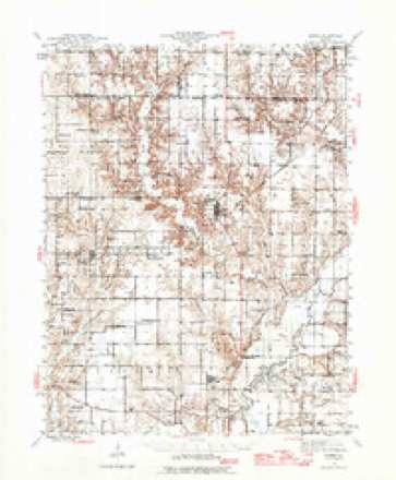
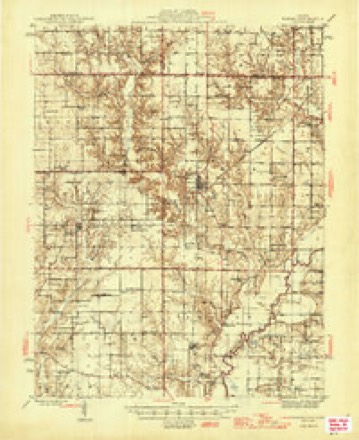
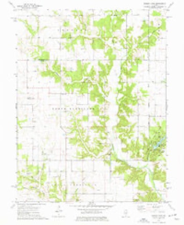
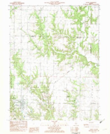
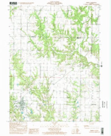
8 surveys from 12 printed sheetsMatched by testing this settlement's coordinate against the published boundary of every sheet in the United States Geological Survey's historical collection. Each opens the scanned sheet at the Survey.
- 1944 USGS Ramsey quadrangle1:62500
- 1946 USGS Ramsey quadrangle1:62500, 2 printings
- 1958 USGS Decatur quadrangle1:250000, 3 printings
- 1961 USGS Decatur quadrangle1:250000, 2 printings
- 1974 USGS Ramsey quadrangle1:24000
- 1982 USGS Litchfield quadrangle1:100000
- 1982 USGS Ramsey quadrangle1:24000
- 1998 USGS Ramsey quadrangle1:24000


In the county-history sources
9,681 words on this townshipHistory of Fayette County, Illinois, published 1878 names this settlement in its chapter on Ramsey Township. These are the passages that mention it, exactly as the scans read.
Green precinct. It is bounded on the north by Shelby County, on the east by Bowling Green Township, on the south by Sharon Township, and on the west by Hurricane Township. About one-half of Ramsey is prairie, which lays in the north and north east part, although strips of prairie are found in the southern portion of the. township. The prairie is considered only fair as wheat and corn land, but makes first-class pasture. The timber land ranks No. 1 for wheat growing, and is fair corn-producing soil. In the prairie the soil is of a light color, while in the timber land it is a black loam with a red sandy clay subsoil. It is a well watered township, and therefore is admirably adapted to stock raising.
Passage source: History of Fayette County, Illinois, published 1878.
Z. F. Watwood came in 1817, followed shortly by John Hall, Joseph Hall, Jeremiah Riley, Charles Tetrick, and a man named Ramsey. In 1820 came Isaac Anderson, Charles Radcliff, Zichariah Blankinship, Zadock Blankinship, A. Chandler, N. Nowlin, E. Pierce, and Win. James. Moses Poland, Sr., and others came about 1827. The first school was taught by Henry Walker, he and Z. F. Watwood being the first teachers in the town¬ ship. The first school-house wa9 built in Section, 35, Township 8, Range 1 E. It was a small log building, but was the best they could afford in those days. The first sermon preached in the township lies between Rev. Mr. Dodson, Charles Radcliff, who was a member of the mission party Baptist, Jamas Street and Henry Sears, but which of them preached first and the date the first sermon was preached, is in doubt. All of them were members of the Regular Baptist Church. James Street is supposed to have preached there about the year 1818.
Passage source: History of Fayette County, Illinois, published 1878.
The first flour mill was built by Wm. James on Ramsey Creek, and was the first water mill built in the township. A saw-mill was connected with it, which, however, was not in running order for a few years after its erection, which was about 1827.
Passage source: History of Fayette County, Illinois, published 1878.
Machine-read from a century-old scan, so expect the errors a machine makes: misspelled names, dropped words, stray characters.
Read the whole chapter on Ramsey Township - it names this place 25 more 25 times.
Mines and quarries near this place
1 within 5 milesRegional context, not property-specific evidence. The federal mineral resources record lists 1 working within 5 miles of Ramsey: 1 past producer. None of them still produces. What was taken out: Stone, Crushed/Broken. Distance is straight-line from the map coordinates, so a quarry counted here may appear on a neighbouring settlement's page as well.
| Where | Site | Commodity | Status | Recorded |
|---|---|---|---|---|
| Hicks Stone Quarry | Stone, Crushed/Broken | Past Producer |
Storms near this place
33 since 1997Regional context, not property-specific evidence. The National Weather Service names Ramsey in 33 storm reports between 1997 and 2025: 22 thunderstorm wind, 11 hail. No death or injury is recorded in these reports. Each account below is quoted exactly as the forecast office filed it, from the NOAA Storm Events Database, and each date opens the federal record of that event.
| When | Event | Place named | Harm | What the report says |
|---|---|---|---|---|
| April 2025 | Thunderstorm Wind | Ramsey | $5,000 | Thunderstorm winds caused minor damage to a roof near Ramsey. |
| June 2021 | Thunderstorm Wind | Ramsey | - | Thunderstorm winds snapped off a couple of large pine trees and blew down numerous tree limbs at the Ramey Lake Golf Course. |
| June 2018 | Thunderstorm Wind | Ramsey | - | Thunderstorm winds blew down numerous trees, tree limbs and power lines across the county. In Brownstown, a tree was blown down onto an unoccupied car causing major damage to the vehicle. |
| July 2016 | Thunderstorm Wind | Ramsey | - | Thunderstorm winds blew down several trees and numerous tree limbs and power lines around town. |
| February 2014 | Thunderstorm Wind | Ramsey | - | Thunderstorm winds blew shingles and sheeting off of a home in Ramsey. |
| September 2012 | Thunderstorm Wind | Ramsey | - | Thunderstorm winds blew down numerous large trees, tree limbs and power lines from Ramsey to about 5 miles south of Ramsey. One tree fell on top of a roof, but only caused minor shingle damage. Part of the roof of a mobile home was ripped off in town and a large pine tree caused major roof damage to a home in town. A large antenna was blown over south of Ramsey. |
| June 2011 | Thunderstorm Wind | Ramsey | - | Thunderstorm winds blew down several trees around town. A few of the trees fell onto power lines, knocking them down. |
| July 2011 | Thunderstorm Wind | Ramsey | - | Thunderstorm winds blew down several large oak trees. |
| June 2011 | Thunderstorm Wind | Ramsey | - | Thunderstorm winds blew down numerous large tree limbs in Ramsey Lake State Park. |
| June 2010 | Thunderstorm Wind | Ramsey | - | Thunderstorm winds blew down a power pole and a tree just north of Ramsey. |
| May 2005 | Hail | Ramsey | - | A storm spotter reported nickel size hail. |
| May 2004 | Thunderstorm Wind | Ramsey | - | Storm spotters reported several trees uprooted. |
| May 2004 | Thunderstorm Wind | Ramsey | - | Thunderstorm wind gusts caused scattered damage in the Ramsey area. Several outbuildings and grain bins were destroyed and a couple of homes suffered roof damage. |
| July 2003 | Thunderstorm Wind | Ramsey | - | Storm spotters reported the roof of a barn blown off by thunderstorm winds. |
| July 2003 | Hail | Ramsey | - | Hail up to golfball size fell in the Ramsey area. Some roofs and the siding of homes were damaged by the hail. Crops in area fields were also damaged. It was estimated that about 8000 acres of corn and 8000 acres of soybeans were damaged. Dollar estimates of the crop damage was not available. |
| April 2002 | Hail | Ramsey | - | The County Sheriff reported golfball size hail. |
| July 2002 | Thunderstorm Wind | Ramsey | - | The County Sheriff reported trees down partially blocking Highway 51. |
| June 2000 | Thunderstorm Wind | Ramsey | - | The County Sheriff reported trees down east of Ramsey. |
| July 1997 | Thunderstorm Wind | Ramsey | - | The County Sheriff reported tees down in Ramsey. |
| March 2024 | Hail | Ramsey | - | no account filed |
| March 2012 | Hail | Ramsey | - | no account filed |
| July 2012 | Hail | Ramsey | - | no account filed |
| May 2011 | Hail | Ramsey | - | no account filed |
| July 2010 | Hail | Ramsey | - | no account filed |
| August 2009 | Hail | Ramsey | - | no account filed |
| April 2006 | Hail | Ramsey | - | no account filed |
| April 2006 | Hail | Ramsey | - | no account filed |
| June 2002 | Thunderstorm Wind | Ramsey | - | no account filed |
| June 2002 | Thunderstorm Wind | Ramsey | - | no account filed |
| June 1999 | Thunderstorm Wind | Ramsey | - | no account filed |
| June 1999 | Thunderstorm Wind | Ramsey | - | no account filed |
| June 1998 | Thunderstorm Wind | Ramsey | - | no account filed |
| July 1998 | Thunderstorm Wind | Ramsey | - | no account filed |
Nearest settlements
The eight closest, with where each one stands in the county. Distances are straight-line, computed from the Geographic Names Information System coordinates.
| Map | Place | Distance | Sheets |
|---|---|---|---|
| Dressor | 3.6 miles | 12 | |
| Bayle City | 3.7 miles | 11 | |
| Twin Churches | 5.2 miles | 12 | |
| Bingham | 5.9 miles | 11 | |
| Vera | 7.6 miles | 11 | |
| Sefton | 9.6 miles | 13 | |
| Shafter | 9.9 miles | 11 | |
| Post Oak | 11.2 miles | 13 |
Elsewhere
Matched on this settlement's Geographic Names Information System number rather than its name, so it cannot be a different place of the same name in another state.
| Wikipedia article on Ramsey | An encyclopaedic summary. Its text is share-alike, so it is linked here rather than copied. |
| Wikidata item Q1938454 | The structured record the population and elevation above come from. Public domain (CC0). |
Provenance
This settlement is recorded in the Geographic Names Information System as feature 416367. The sheet list is computed by point-in-boundary test against the United States Geological Survey's historical topographic inventory. Both are works of the United States government and carry no copyright under 17 U.S.C. 105.
Mines and quarries. USGS Mineral Resources Data System (MRDS) https://mrdata.usgs.gov/mrds/ A work of the United States government, no copyright under 17 U.S.C. 105.
Storms. NOAA National Centers for Environmental Information, Storm Events Database https://www.ncei.noaa.gov/stormevents/ A work of the United States government, no copyright under 17 U.S.C. 105. Narratives are quoted verbatim from the National Weather Service report and are not edited or summarised.