 Block
Vera, Illinois
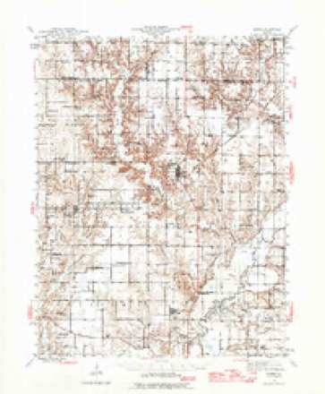
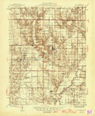
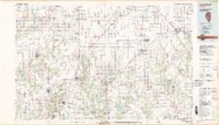
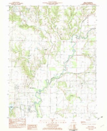
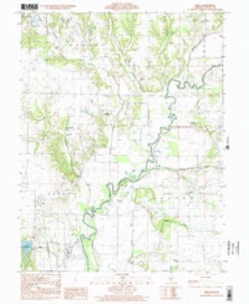
11 topographic sheets cover this place, the earliest surveyed in 1944 and the latest in 1998. It stands in Sharon Township. It lies in ZIP code area 62080. It stands on Hoffman Creek. The Survey maps it on the Vera quadrangle. It stands 558 feet above sea level.
Topographic sheets covering this place
7 surveys from 11 printed sheetsMatched by testing this settlement's coordinate against the published boundary of every sheet in the United States Geological Survey's historical collection. Each opens the scanned sheet at the Survey.
- 1944 USGS Ramsey quadrangle1:62500
- 1946 USGS Ramsey quadrangle1:62500, 2 printings
- 1958 USGS Decatur quadrangle1:250000, 3 printings
- 1961 USGS Decatur quadrangle1:250000, 2 printings
- 1982 USGS Litchfield quadrangle1:100000
- 1982 USGS Vera quadrangle1:24000
- 1998 USGS Vera quadrangle1:24000


In the county-history sources
2,219 words on this townshipHistory of Fayette County, Illinois, published 1878 names this settlement in its chapter on Sharon Township. These are the passages that mention it, exactly as the scans read.
Is a flourishing little village of about two hundred and fifty inhabitants, situated on the line of the Illinois Central Railroad, and in the midst of a good fermlng district. Vera is also quite a shipping point for fruit. One season the shipment of peaches reaohed 80,000 boxes, and 10,000 bushels of apples. The town is well supplied with ohurohes and schools. The largest store of general merchandise is kept by Little and Stokes. Mr. L. is also postmaster. A small grocery store is oarried on by John Fifer. The hotel of the town is kept by C. Stanbum. J. M. Parkes owns and operates a good flouring mill of four run of burrs, which is the largest enterprise in the township. The R. R. Co. have recently built a new freight and passenger depot. There is also a cooper and blacksmith shop in the town. Dr. John 8. Barton is practising medicine at this point.
Passage source: History of Fayette County, Illinois, published 1878.
The youngest ton of John and Syntha (Patterson) Little, was bom July 17, 1844, in Fayette County. His parents were natives of Tennessee, and oame to Illinois at an early day. Until his twenty-first year he lived in his native county. In 1864 he enlisted in the Fourteenth Illinois Cavalry, and was sent to Nicholasville, Kentuoky, to join his regiment. The regiment was ordered to Knoxville, Tennessee, and from there to Cleveland, where they joined Gen. Stoneman's oommand. They were in the battles of Big Shanty, Kenesaw Mountain, and the disastrous engagement in whioh Gen. McPher- son lost his life. They were next ordered to Macon, Georgia, in which ex¬ pedition they lost nearly one-half their regiment, by being taken prisoners. They were then ordered back to Nicholasville, remounted, and sent to Pulaski, where they joined Gen. Schofield's command; thence to Waynes¬ boro', and joined Gen. Hatch's cavalry, where they had a severe engage¬ ment with Forest's cavalry. The Union troops were in much smaller num¬ bers, and had to fall back. They were reinforced by infantry from Colum¬ bia, on the double quick. They then fell back to Columbia, from where a detachment was sent down Duck Run to guard a crossing, when a fight ensued, and they had to cut their way out Traveling all night they reached Franklin in the morning, when they were again engaged. From here they returned to Pulaski, where they were mustered out. Mr. Little returned home, and engaged in various business enterprises. For the past five years he has been merchandizing at Vera, where he is also Post¬ master and Agent for the Illinois Central Railroad.
Passage source: History of Fayette County, Illinois, published 1878.
His company was mustered out on the 29th July, 1865, at Galveston, Texas, and after an absenoe of three years and twenty days in all, Mr. Ray returned to his home, where he has since devoted the whole of his time and attention to farming and fruit-growing. He has in his home-farm 169 acres of land, in addition to outlying property, and a business house in Vera, all of which has been obtained by bis own industry and strict attention to business.
Passage source: History of Fayette County, Illinois, published 1878.
Machine-read from a century-old scan, so expect the errors a machine makes: misspelled names, dropped words, stray characters.
Read the whole chapter on Sharon Township - it names this place 1 more 1 time.
Mines and quarries near this place
3 within 5 milesRegional context, not property-specific evidence. The federal mineral resources record lists 3 workings within 5 miles of Vera: 2 past producers, 1 producer. 1 still produces. What was taken out: Stone, Sand and Gravel, Construction. Distance is straight-line from the map coordinates, so a quarry counted here may appear on a neighbouring settlement's page as well.
| Where | Site | Commodity | Status | Recorded |
|---|---|---|---|---|
| North American Pit | Sand and Gravel, Construction | Producer | ||
| Fayette City Pit | Stone | Past Producer | ||
| Vandalia City Pit | Stone | Past Producer |
Storms near this place
1 since 2008Regional context, not property-specific evidence. The National Weather Service names Vera in 1 storm report in 2008: 1 hail. No death or injury is recorded in these reports. Each account below is quoted exactly as the forecast office filed it, from the NOAA Storm Events Database, and each date opens the federal record of that event.
| When | Event | Place named | Harm | What the report says |
|---|---|---|---|---|
| June 2008 | Hail | Vera | - | no account filed |
Nearest settlements
The eight closest, with where each one stands in the county. Distances are straight-line, computed from the Geographic Names Information System coordinates.
| Map | Place | Distance | Sheets |
|---|---|---|---|
| Shafter | 4.1 miles | 11 | |
| Vandalia | 5.2 miles | 9 | |
| Bluff City | 6.0 miles | 9 | |
| Jimtown | 6.2 miles | 9 | |
| Bayle City | 6.2 miles | 11 | |
| Hagarstown | 6.9 miles | 9 | |
| Ramsey | 7.6 miles | 12 | |
| Bingham | 7.7 miles | 11 |
Elsewhere
Matched on this settlement's Geographic Names Information System number rather than its name, so it cannot be a different place of the same name in another state.
| Wikipedia article on Vera | An encyclopaedic summary. Its text is share-alike, so it is linked here rather than copied. |
| Wikidata item Q7920725 | The structured record the population and elevation above come from. Public domain (CC0). |
Provenance
This settlement is recorded in the Geographic Names Information System as feature 420252. The sheet list is computed by point-in-boundary test against the United States Geological Survey's historical topographic inventory. Both are works of the United States government and carry no copyright under 17 U.S.C. 105.
Mines and quarries. USGS Mineral Resources Data System (MRDS) https://mrdata.usgs.gov/mrds/ A work of the United States government, no copyright under 17 U.S.C. 105.
Storms. NOAA National Centers for Environmental Information, Storm Events Database https://www.ncei.noaa.gov/stormevents/ A work of the United States government, no copyright under 17 U.S.C. 105. Narratives are quoted verbatim from the National Weather Service report and are not edited or summarised.